Hike Hike Heaven Hotspur Path - Allgäu Hiking Trilogy in the Allgäu: Position on map

Webcam Grunzesried Valley, 877 m

Hike Heaven Hotspur Path - Allgäu Hiking Trilogy
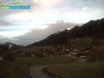
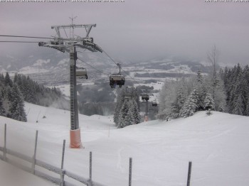
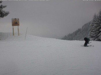
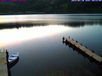
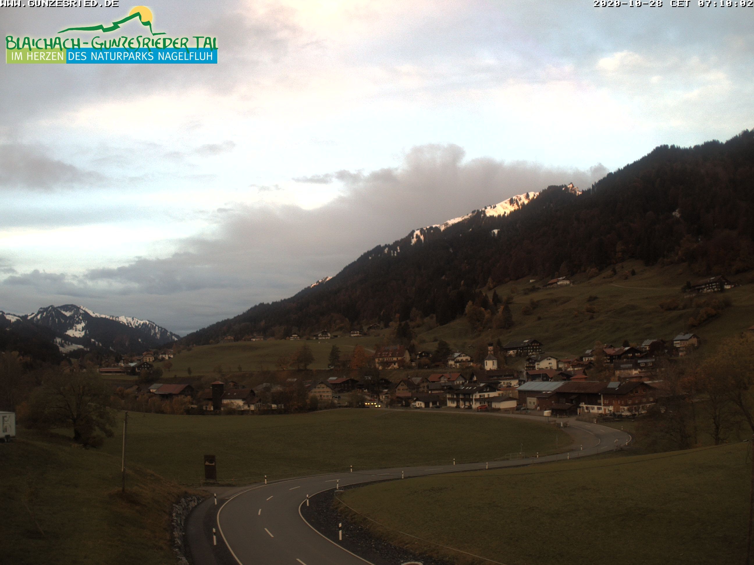
Here you can spot Gunzesried, a district that belongs to the municipality Blaibach in the region Allgäu. Gunzesried is located in the Gunzesrieder Valley that ranges from the Valley Iller to the boarder of Vorarlberg (Austria). Furthermore, the webcam offers you the view towards 1.683 meter high peak of mountain Steineberg (Allgäu Alps).

Webcam broken? Description wrong?

Please, share your knowledge with our staff. Tell us what is wrong with this webcam.
Elevation:  877 m

Today's webcam images (Local Time: 21:54)

Latest

Webcam archive

Advertisement
Travel Deals & Tips
Advertisement
Webcams nearby
  • Gunzesried
  • "Mittag" Mountain
  • Panoramic view Mittagberg
  • View of Immenstadt
  • mountain station chairlift Weltcup Express
  • Peak of "Ofterschwanger Horn", 1.406 m
  • View from the town hall in Sonthofen
  • Town Hall Square of Sonthofen
  • Lake "Großer Alpsee"
  • Middle station Hörnerbahn - Hexen-Stadl
  • Hörnerbahn Bolsterlang
  • Panorama Mountains of Bolsterlang
  • Fischen in the Allgäu, Kaserer Hotel
  • Rosenstock Hotel, Fischen in the Allgäu
  • Fischen in the Allgäu, Tanneck Hotel
  • Alpsee chair lift (Alpsee Coaster)
Advertisement
Login with Google+
  • Share your personal insider tip and create new entries
  • Explore fantastic outdoor destinations when and where you want
  • Find your dream destination or discover the world on the interactive map