Around Me
Search
List
Map
Combined
+
+
Guide
Europe
Germany
Austria
Italy
Switzerland
France
Spain
Greece
Liechtenstein
Iceland
Czech Republic
Romania
Great Britain and Northern Ireland
Slovakia
Ireland
Belgium
Norway
Denmark
Finland
Netherlands
Malta
Portugal
Sweden
Serbia
Lithuania
Slovenia
Hungary
Ukraine
North America
USA
Canada
Costa Rica
Oceania
New Zealand
Australia
Africa
Egypt
South Africa
Asia
Japan
China
United Arab Emirates
Turkey
Russia
Iran
Georgia
India
Azerbaijan
South America
Brazil
Hiking
Europe
Austria
Germany
Italy
Switzerland
Liechtenstein
France
Romania
Belgium
Iceland
Norway
Ireland
Great Britain and Northern Ireland
Denmark
Sweden
Portugal
North America
USA
Canada
Oceania
New Zealand
Australia
Biking
Europe
Austria
Germany
Switzerland
Italy
Spain
Liechtenstein
Romania
Finland
France
Great Britain and Northern Ireland
Lithuania
Iceland
Ireland
North America
Canada
USA
Swimming
Europe
Austria
Germany
Switzerland
Italy
Romania
Iceland
Spain
Slovenia
Ireland
Malta
Great Britain and Northern Ireland
Hungary
Netherlands
North America
Canada
USA
Attractions
Europe
Germany
Austria
Italy
France
Switzerland
Spain
Greece
Czech Republic
Slovakia
Great Britain and Northern Ireland
Iceland
Ireland
Belgium
Netherlands
Denmark
Malta
Liechtenstein
Norway
Finland
Portugal
Romania
Serbia
Sweden
Hungary
Slovenia
Ukraine
North America
USA
Canada
Costa Rica
Oceania
New Zealand
Australia
Africa
Egypt
South Africa
Asia
Japan
United Arab Emirates
China
Georgia
India
Azerbaijan
Turkey
Russia
Iran
South America
Brazil
Magazine
News
Award
Active
Culture
Tips
Specials
On Tour
Inside
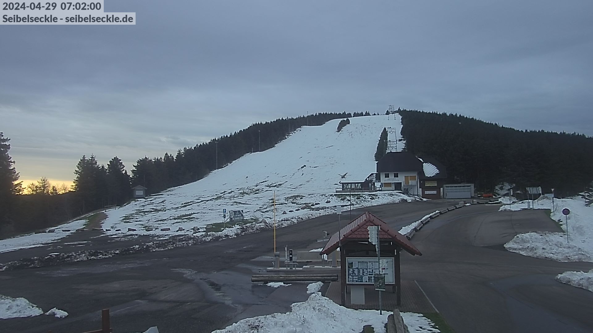
Webcam Seibelseckle the slope, 960 m
Hike
Weather For Hikers
Webcams
Wall
Long Distance Hiking Trail Seensteig - Day 2
Hike
Weather For Hikers
Webcams
Hikes
Europe
Austria
Germany
Bavaria
Baden-Württemberg
Black Forest
Swabian Jura
Bodensee
North Rhine-Westphalia
Lower Saxony
Saxony
Rhineland-Palatinate
Thuringia
Brandenburg
Saarland
Saxony-Anhalt
Mecklenburg-Western Pomerania
Italy
Switzerland
Liechtenstein
France
Iceland
Denmark
Great Britain and Northern Ireland
All countries in Europe
Romania
Norway
Ireland
Sweden
Belgium
Portugal
North America
USA
Canada
Oceania
New Zealand
Australia
Magazine
News
Award
Active
Culture
Tips
All magazine categories
Specials
On Tour
Inside
Misc.
The Perfect Match
Travel Guide
Map
Sweepstakes
Surveys
08:32
You can see the hut "Rasthütte" situated at the Schwarzwaldhochstraße
Webcam broken? Description wrong?
Please, share your knowledge with our staff. Tell us what is wrong with this webcam.
E-Mail
Message
Send
Elevation:
960
m
Today's webcam images (Local Time: 08:59)
Latest
Webcam archive
Advertisement
Travel Deals & Tips
Advertisement
Webcams nearby
Lift in Unterstmatt
Baiersbronn ski lift Vogelskopf
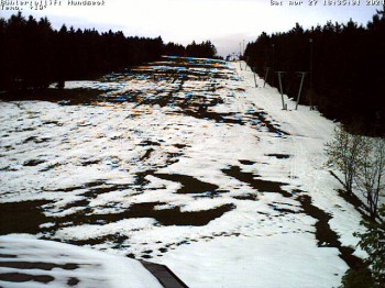
Bühlertallift Hundseck View of the Slope
Hikes Nearby
Adventure Path 3 - Dorf der Quellen und Parzellen
0
km
Himmelsweg Trails Baiersbronn - Forces of Nature Trail
0
km
Geniesserpfad to Wanderhütte Sattelei
2.9
km
Show all
Geniesserpfad to Blockhütte
2.9
km
Adventure Path 5 - Wild Forest in Transition
3
km
Himmelsweg Trails Hiking Heaven Baiersbronn - Geniesser Tour
3
km
Himmelsweg Trails Hiking Heaven Baiersbronn - Hoehen Tour
3
km
Adventure Path 6 - Stones tell history
3
km
Himmelsweg Trails Hiking Heaven Baiersbronn Wood Trail - Holzmacher Tour
3
km
Himmelsweg Trails Baiersbronn - Two Lakes Tour
3.5
km
Geniesserpfad to Glasmännlehütte
3.6
km
Long Distance Hiking Trail Seensteig - Day 1
3.8
km
Adventure Path 2 - Im Tal der Hämmer
5.5
km
Adventure Path 4 - Von Mönchen und Lehensbauern
5.7
km
Himmelsweg Trails - Monktour
5.7
km
Adventure Path 7 - Farmers, Forest People - then and now
6.9
km
Himmelsweg Trails Hiking Heaven Baiersbronn - The Cirque Lakes and Their Origin
8.3
km
Adventure Path 1 - Rafts, Charcoal Burners, Forest Spiritsköhler
9.1
km
Himmelsweg Trails - Bannwald Tour
9.6
km
Long Distance Hiking Trail Seensteig - Day 5
10.1
km
Geniesserpfad to Panoramastüble
10.1
km
Himmelsweg Trails Hiking Heaven Baiersbronn Romance Tour - Romantik Tour
10.2
km
Long Distance Hiking Trail Seensteig - Day 4
12.5
km
Advertisement
Login
E-Mail
Password
Login
Forgot your password?
You don't have an account yet? Click here to get one.
Login with Facebook
Login with Google+
Share your personal insider tip and create new entries
Explore fantastic outdoor destinations when and where you want
Find your dream destination or discover the world on the interactive map

 Latest