Hike Geniesserpfad to Blockhütte in the Black Forest: Position on map

Webcams around the Hike Geniesserpfad to Blockhütte (Black Forest)

Geniesserpfad to Blockhütte
Advertisement
Kniebis - Ski hut
Elevation: 935 m
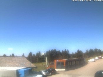
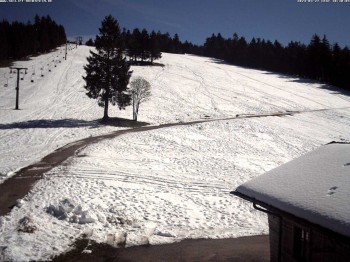
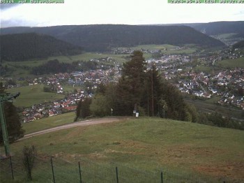
Your view of the ski lift Kniebis near Freudenstadt.
temporarily unavailable
Kniebis - Black Forest
Elevation: 933 m
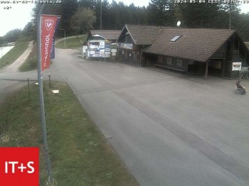
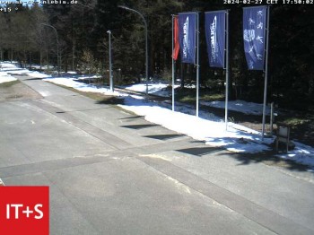
Have a look at the Heimatpfad in Kniebis.
11 minutes ago
Kniebis hut
Elevation: 925 m
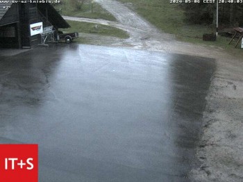
Have a look at the Kniebis hut in the Black Forest.
13 minutes ago
Freudenstadt city - View Market place
Elevation: 728 m
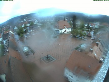
Have a look at the market square in Freudenstadt.
10 minutes ago
Black Forest - Lauterbad
Elevation: 658 m
The webcam shows the hotel Zollernblick in Freudenstadt in the Black Forest.
6 minutes ago
Kniebis, Black Forest
Elevation: 896 m
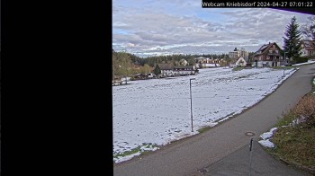
Have a look at the village Kniebis, which is located in the black forest in Germany.
2 minutes ago
Baiersbronn: night cross-country ski trail
Elevation: 929 m
Here you can see the night cross-country ski trail of Baiersbronn
1 minute ago
Baiersbronn: ski lift Ruhestein
Elevation: 671 m
View on the ski lift Ruhestein (Baiersbronn)
1 minute ago
Baiersbronn
Elevation: 564 m
Down in the valley you can spot the town of Baiersbronn.
3 minutes ago

Webcam is Missing

A webcam is missing? Do you know the source of another one?

All Webcams on the map

Webcam Information

  • 9 webcams are located near the Hike Geniesserpfad to Blockhütte.
  • The highest webcam (Kniebis - Ski hut) is situated 935 metres above sea level, wheras the lowest webcam (Baiersbronn) is situated 564 metres above sea level.
  • According to its visits, the webcam Kniebis - Ski hut is the most popular one in the vicinity.
Travel Deals & Tips
Advertisement
Advertisement
Advertisement
Login with Google+
  • Share your personal insider tip and create new entries
  • Explore fantastic outdoor destinations when and where you want
  • Find your dream destination or discover the world on the interactive map