map of all hikes in Germany

Webcams in Germany

  • I don't care
    Easy
    Moderate
    Advanced
  • 0-100km
    0-72 h
Elevation: 853 m
You can see the ski-jumping hill Hochfirst in Neustadt in the black forest.
15 °C
temporarily unavailable
Elevation: 807 m
You can see parts of the golf course Obersalzberg in the popular holiday region Königssee - Berchtesgadener Land.
12 °C
49 minutes ago
Elevation: 882 m
View to the Hahnenkamm area in Reutte/Tyrol.
17 °C
54 minutes ago
Elevation: 836 m
The webcam near the apartment Thieme opens up the view towards Knaus campsite.
13 °C
55 minutes ago
Elevation: 797 m
Have a look at the slopes of Sinswang in the south of Germany.
16 °C
7 hours ago
Elevation: 527 m
Here you can see the view of the airfield of Daun in the Eifel region.
°C
5 hours ago
Elevation: 814 m
View from Guest House Urban in Ramsau near Berchtesgaden. You can see the famous panoramic street.
15 °C
1 hour ago
Elevation: 1,182 m
Webcam shows a hiking path at the Imberg near Oberstaufen.
16 °C
55 minutes ago
Elevation: 564 m
Down in the valley you can spot the town of Baiersbronn.
17 °C
temporarily unavailable
Elevation: 891 m
Webcam located at base station in Carlsfeld ski resort.
13 °C
57 minutes ago
Elevation: 781 m
View over Zelezna Ruda
12 °C
51 minutes ago
Elevation: 1,032 m
Seen from an eastern direction, you can look at the town of Oberstaufen.
15 °C
6 hours ago
Elevation: 927 m
View of Fichtelberg mountain in Oberwiesenthal. From this base station, you can discover the surrounding Erz mountains.
14 °C
21 minutes ago
Elevation: 935 m
This webcam shows Schöneben near Ulrichsberg in Austria, a great spot to go hiking.
15 °C
2 hours ago
Elevation: 403 m
This live webcam shows you the view over Cham's market square.
12 °C
temporarily unavailable
Elevation: 1,423 m
Enjoy the view of Großer Arber mountain in a northeasterly direction on the Bavarian Forest and ArberLand.
13 °C
7 hours ago
Elevation: 579 m
This webcam shows the small city Zwiesel in the Bavarian Forest.
12 °C
7 hours ago
Elevation: 564 m
This webcam shows you the market square of Waldkirchen.
13 °C
temporarily unavailable
Elevation: 1,186 m
East view from Kandellifte upper station towards surrounding Black Forest.
13 °C
5 hours ago
Elevation: 952 m
The camera offers a wonderful panoramic view from the lookout tower Oberfrauenwald near Waldkirchen in the Bavarian Forest.
13 °C
6 hours ago
Elevation: 386 m
°C
49 minutes ago
Elevation: 929 m
Here you can see the night cross-country ski trail of Baiersbronn
16 °C
48 minutes ago
Elevation: 838 m
°C
temporarily unavailable
Elevation: 737 m
Enjoy your view over the Upper Palatine Forest.
10 °C
temporarily unavailable
Travel Deals & Tips
Advertisement

A Diverse Country In the Middle of Europe

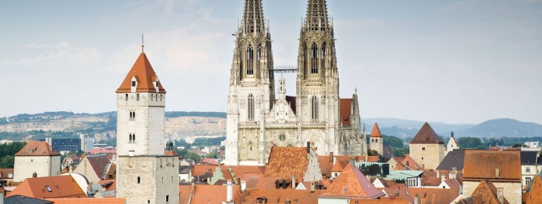
The Federal Republic of Germany is located in the heart of Europe, and is divided into 16 federal states. Berlin, the capital city, is located in the north east of the country. Once divided by the intra-German border, the city is now one of the cultural hotspots.

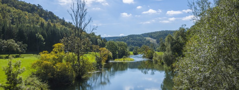
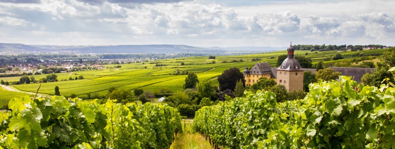
Besides exciting cities, historic monuments, and a lively culture, there are also idyllic landscapes to explore.

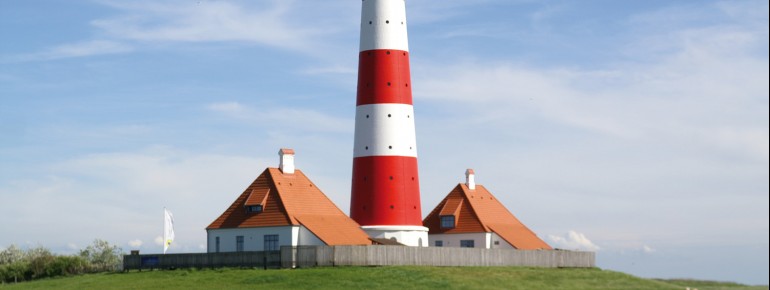
In its north, the country is shaped by the coastal scenery of North Sea and Baltic sea, while uplands dominate the middle of Germany. Impressive Alpine peaks can be found in the south. Thousands of miles of  hike and bike trails wind their way through the outdoors; numerous lakes invite you for a swim.

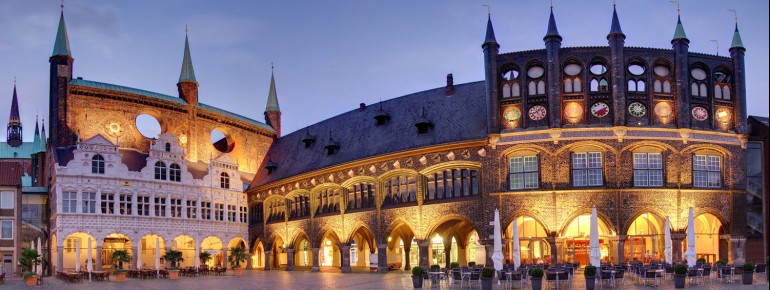
More than 6,250 museums can be found all over the country, providing insight into art, culture, and history. Additionally, around 350 theatres and over 30 amusement parks are there for entertainment. Cultural highlights include the carnival in Cologne, Munich's Oktoberfest, or Dresden's Striezelmarkt.

    Travel Deals & Tips
    Advertisement
    Advertisement
    Advertisement
    Advertisement
    Travel Deals & Tips
    Advertisement
    Login with Google+
    • Share your personal insider tip and create new entries
    • Explore fantastic outdoor destinations when and where you want
    • Find your dream destination or discover the world on the interactive map