
Route description
Follow the asphalted, slowly rising street directly from the parking lot of the hotel by the Tosa Waterfalls. Keep going that direction until you hit the fork to Riale. Cycle on the so called ENEL from here, an unpaved street of an equally named multinational manufacturer and distributor of electricity and gas. The street will then lead your way steeply uphill to the Toggia levee.
After passing by the Maria Luisa sanctuary you will get to a little trail to the Levee itself. Follow the shore of the Toggia Lake for about three kilometers until reaching the old barracks of the San Giacomo pass. Take the broad path for pedestrians to your left from there – this will get you to an alp further down. Turn left here and follow the path to the Passo Novena valley. Be especially aware at this part of the tour since the trails are not steep but very uneven.
The trail continues on an even level before another short but yet steep part uphill awaits you to the Corno Gries cottage. Work your way over the mountains ascents and stony gravel tracks and cross the Corno saddle whilst enjoying the magnificent view to the Gries Lake, the Blindenhorn and the Arbola mountain.
In addition, your way will descent downwards to the Gries pass, where it is great to relax at the associated viewing spot. After the pass the next downhill parts of the tour are to follow. The trails are in the direction of the Bettelmat Wiesen meadows. Pass the meadows to get to an unpaved street.
Shortly after head to the right and cycle on a footpath that will get you to the parking lot of the Enel Sabbione cable way. Next up an easy to manage path is to come that will lead you around the Morasco Lake up until the dam. Switch onto the asphalted road and you'll be reaching the little village Riale in no time. From Riale it will only take you a few more minutes to get to the already known street from the beginning. This will get you back to the starting point of the tour.
Where to eat
There are numerous villages on the tour where you can get something to eat. However, since this tour is not the easiest, be sure to take enough fluids to drink with you anyway.
Interesting facts
- With an overall length of 29 km the bike trail is among the 5 longest bike Trails in Italy available on TouriSpo.
- Elevated between 1,680 m and 2,505 m, the bike trail is the highest elevated bike Trails in Italy. You're facing an uphill climb of 931 vertical meters on this bike trail. This makes the bike trail one of the 5 bike Trails with the most ascent in Italy.
- There are places to buy beverages and food along the track. However it’s always recommended to bring enough water and food along with you.
Highlights of the tour
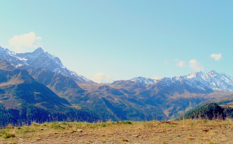
The many mountain lakes on the tour are definitely all worth a visit. This is an ideal tour for advanced mountain bikers that are in the search for a new challenge within a beautiful landscape.
Getting here
By car
It is best to get to the starting point of the tour, namely the parking lot of the hotel by the Tosa Waterfalls, by car. Therefore, take the A26 to the Valle Formazza exit and follow the valley for about 32 kilometers until reaching the hotel by the Waterfalls.
