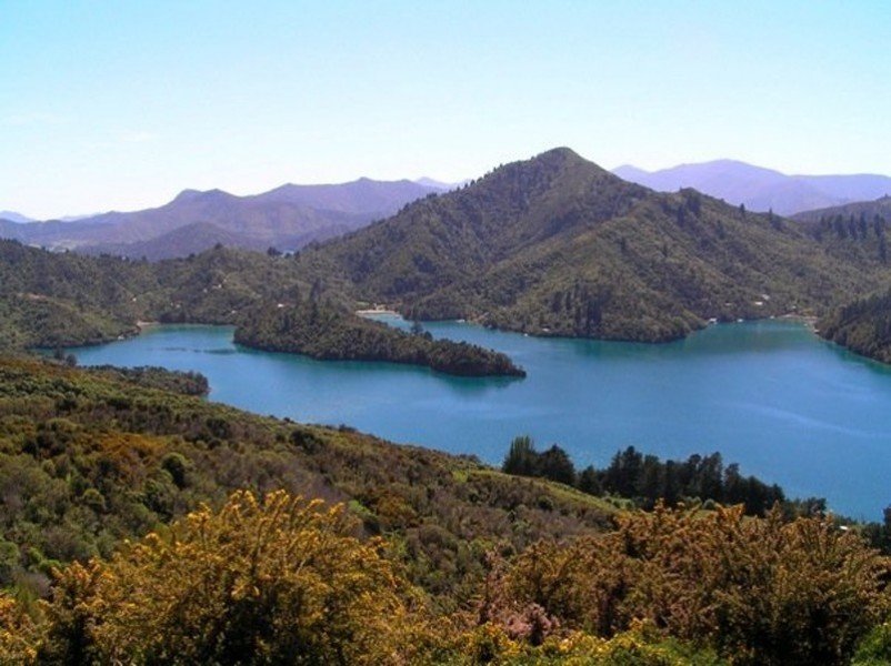
Hike Queen Charlotte Track in Picton and Queen Charlotte Sound: Position on map

Hike Queen Charlotte Track

Queen Charlotte Track

Elevation

Min: m
Max: 412 m
Uphill: 2,061 m
Downhill: 2,123 m
  • Upload GPS data
About the author
last update on 12 Sep 2016
Rate the Hike
0
(0)
Travel Deals & Tips
Advertisement
Advertisement
Advertisement
Facts
Difficulty
Moderate
Distance: 72.63 km
Duration:4 days
Min: m
Max: 412 m
Uphill: 2,061 m
Downhill: 2,123 m

Trail characteristics

Dirt road
Forest track
Hiking trail
Experts only

Webcams

Unfortunately, there is no webcam available yet!

Interesting facts

Read more
  • With an overall length of 73 km the hike is currently the longest hike in New Zealand available on TouriSpo.
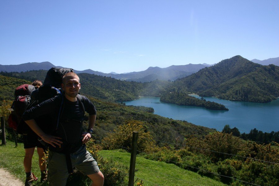
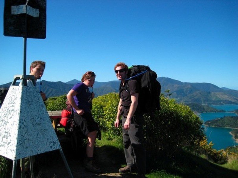
  • You shouldn’t forget to bring your hiking boots. There are some sections on the trail where sturdy footwear is required. If you get hungry along the way, there are places to rest and get food. Nevertheless it’s recommended to also have enough water and food in your backpack when hiking or biking.

Contact

Q.C.T.L.C.
P.O.Box 48187
7220
Renwick, Marlborouh, Neuseeland
E-Mail
%71%63%74%6c%63%40%79%61%68%6f%6f%2e%63%6f%2e%6e%7a
Travel Deals & Tips
Advertisement

Comments

Rate the Hike
No posts available yet:
  • Nobody has posted on the wall of the Hike "Queen Charlotte Track" yet
  • Be the first to comment!
Login with Google+
  • Share your personal insider tip and create new entries
  • Explore fantastic outdoor destinations when and where you want
  • Find your dream destination or discover the world on the interactive map