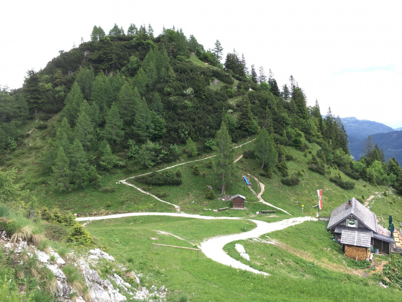
Hike Trail Feuerkogel near Bad Ischl in the Salzkammergut: Position on map

Hike Trail Feuerkogel near Bad Ischl

Trail Feuerkogel near Bad Ischl

Elevation

Min: 4482 ft
Max: 4774 ft
Uphill: 440 ft
Downhill: 551 ft
  • Upload GPS data
About the author
last update on Aug 23, 2017
Rate the Hike
0
(6)
Travel Deals & Tips
Advertisement
Advertisement
Advertisement
Facts
Difficulty
Easy
Distance: 1.38 miles
Duration:1 h
Loop trail
Min: 4482 ft
Max: 4774 ft
Uphill: 440 ft
Downhill: 551 ft

Best Season

Trail characteristics

Hiking trail

Interesting facts

Read more
  • You're traveling a distance of 1 mile on this easy trail. The hike is therefore not too long. Average length of all hikes in Upper Austria is 9 miles.
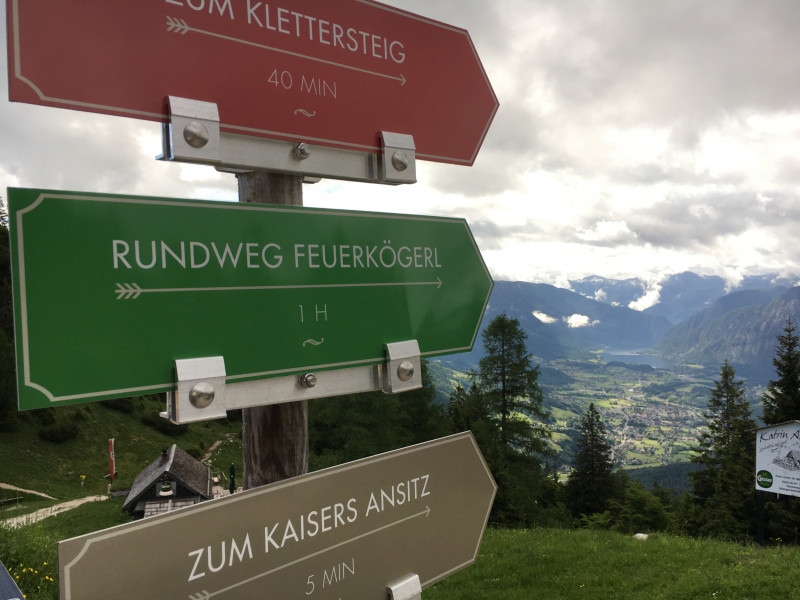
  • Trail Feuerkogel near Bad Ischl is among the 10 best rated Hikes in Austria.
  • Elevated between 4482 ft and 4774 ft, the hike is the highest elevated hikes in Upper Austria. You're facing an uphill climb of 134 vertical meters on this hike. The track is therefore relatively flat.
  • This easy hike is perfect for the whole family. The hike is also perfect if the kid’s wanna bring their dog on the trip.
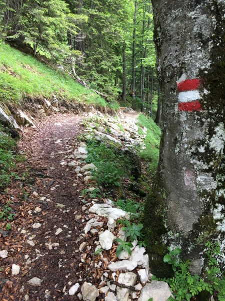
  • Sturdy hiking boots are recommended on this track. If you get hungry along the way, there are places to rest and get food. Nevertheless it’s recommended to also have enough water and food in your backpack when hiking or biking.

Contact

Katrin Seilbahn
Kaltenbachstrasse 62
4820
Bad Ischl
E-Mail
%69%6e%66%6f%40%6b%61%74%72%69%6e%73%65%69%6c%62%61%68%6e%2e%63%6f%6d
+43(0)6132/23788
Travel Deals & Tips
Advertisement

Comments

Rate the Hike
Sam
on 23 Aug 2017
beautiful bad ischl! nice trail with kids.
Login with Google+
  • Share your personal insider tip and create new entries
  • Explore fantastic outdoor destinations when and where you want
  • Find your dream destination or discover the world on the interactive map