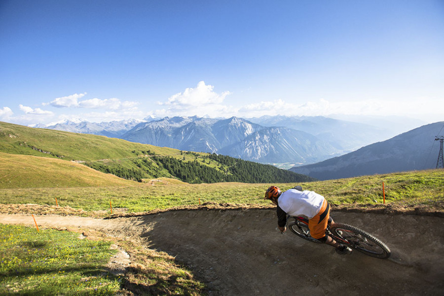
Bike Trail Flowtrail Leukerbad in Leukerbad: Position on map

Flowtrail Leukerbad

Flowtrail Leukerbad

Elevation

Min: 1,951 m
Max: 2,353 m
Uphill: 212 m
Downhill: 521 m
  • Upload GPS data
About the author
last update on 5 Jul 2017
Rate the Bike Trail
0
(0)
Travel Deals & Tips
Advertisement
Advertisement
Advertisement

Facts

Difficulty
Easy
Distance: 3.20 km
Duration:15 min
Min: 1,951 m
Max: 2,353 m
Uphill: 212 m
Downhill: 521 m

Best Season

Suitable for

Mountainbike
Trekkingbike

Interesting facts

Read more
  • You're traveling a distance of 3 km on this easy trail. The bike trail is therefore not too long. The average length of all bike Trails in the Valais is 42 km.
  • Elevated between 1,951 m and 2,353 m, the bike trail is the highest elevated bike Trails in Switzerland. You're facing an uphill climb of 212 vertical meters on this bike trail.
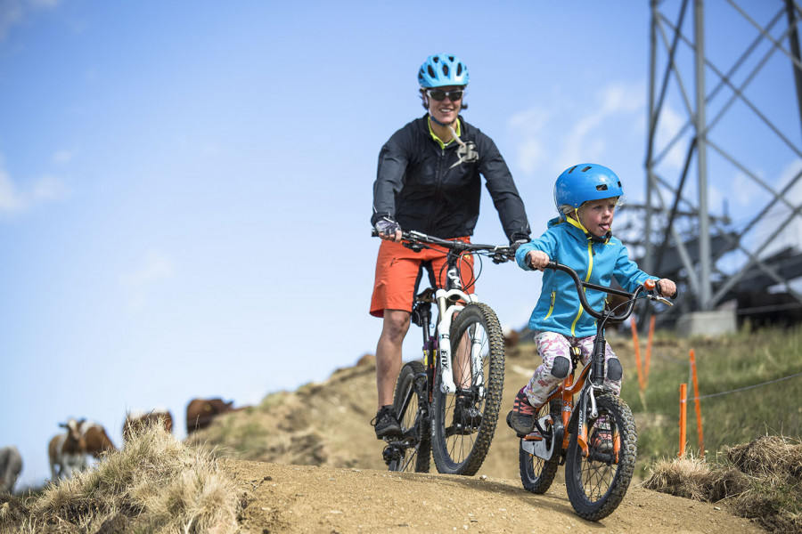
  • Don’t hesitate to take your kids along on this easy bike Trails.
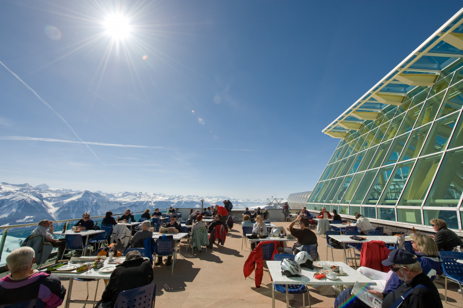
  • There are places to buy beverages and food along the track. However it’s always recommended to bring enough water and food along with you.
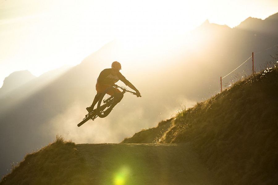
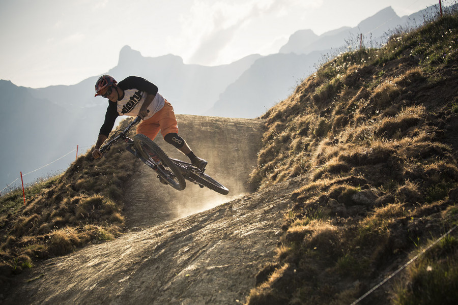
Video

Flowtrail Leukerbad | 01:10

Contact

Torrent-Bahnen Leukerbad-Albinen AG
Promenade 36
3954
Leukerbad
E-Mail
%69%6e%66%6f%40%74%6f%72%72%65%6e%74%2e%63%68
+41 27 472 81 11
Travel Deals & Tips
Advertisement

Comments

Rate the Bike Trail
No posts available yet:
  • Nobody has posted on the wall of the Bike Trail "Flowtrail Leukerbad" yet
  • Be the first to comment!
Login with Google+
  • Share your personal insider tip and create new entries
  • Explore fantastic outdoor destinations when and where you want
  • Find your dream destination or discover the world on the interactive map