Route description
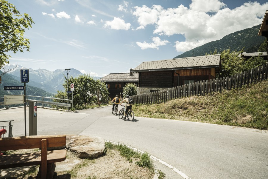
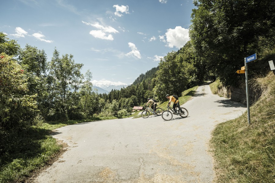
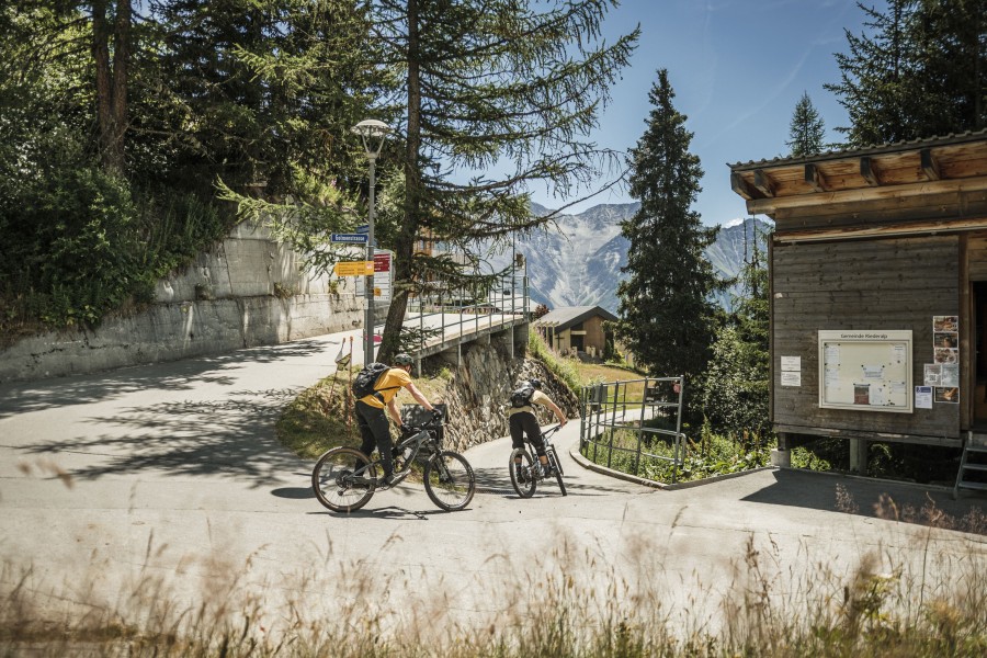
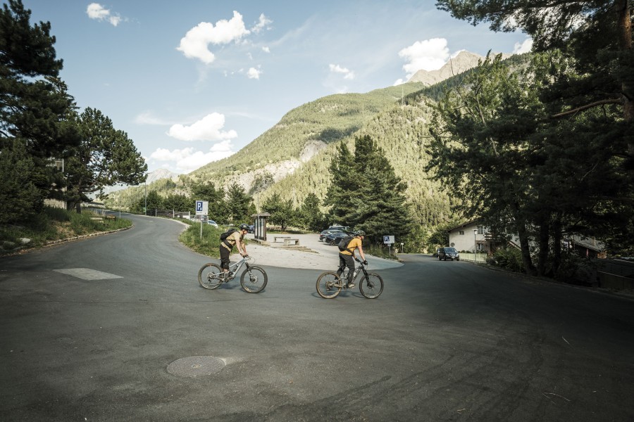
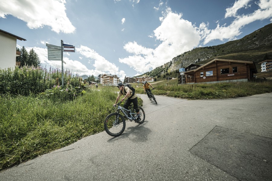
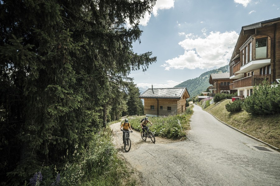
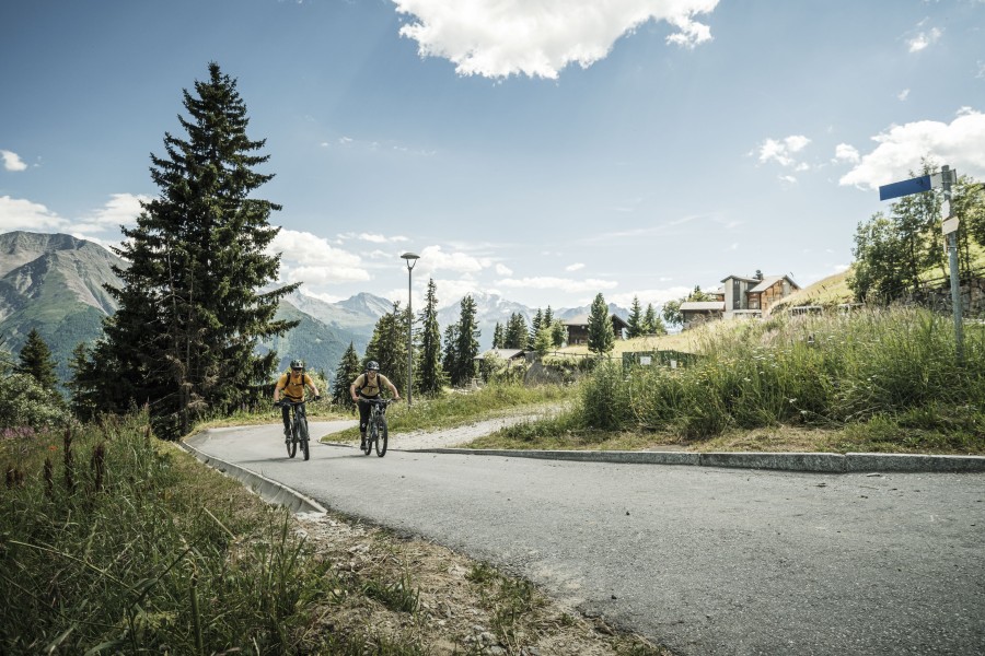
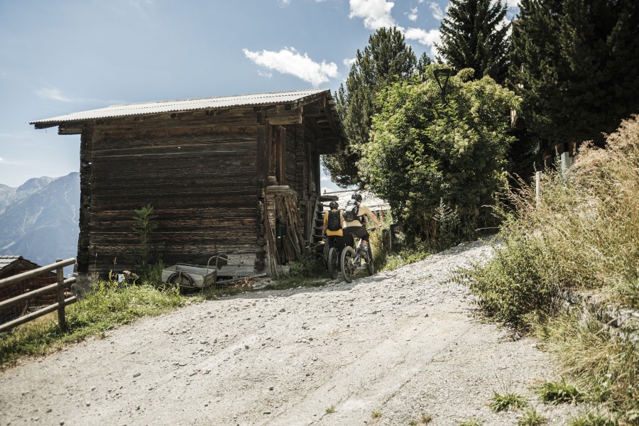
Start at the Infocenter on Riederalp, from where you bike eastwards up to the height of the Moosfluh valley station. Here you change to the right-turning path, which leads in long serpentine bends past the hamlets Biel, Bina and Gstalji down to Golmenegg and onwards to Goppisberg. On the paved road, you now ride westwards to Greich. Once there, a somewhat more difficult section follows: via a challenging trail and two ditches you reach Ried-Mörel. For technically skilled bikers, these traverses pose no problem. Otherwise, we recommend pushing the bike when crossing the ditches. Continue on the paved road to Oberried. The last route stage then awaits you - an ascent of around 600 meters in altitude, which you have to overcome on the forest road back to Riederalp.
Where to eat
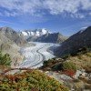
Take a break in the idyllic Glacierstube to reflect on your impressions of the Great Aletsch Glacier once again!
Interesting facts
- You're traveling a distance of 14 km on this moderate trail. The bike trail is therefore not too long. Average length of all bike Trails in the Valais is 41 km.
- Elevated between 1,306 m and 1,904 m, the bike trail is among the 3 highest elevated bike Trails in Switzerland. You're facing an uphill climb of 803 vertical meters on this bike trail.
- If you get hungry along the way, there are places to rest and get food. Nevertheless it’s recommended to also have enough water and food in your backpack when hiking or biking.
Variations
On the ascent back to Riederalp, you have to overcome about 600 meters in altitude. Those who want to avoid this ascent can take the cable car from Ried-Mörel for the return journey to the Aletsch plateau.
Getting here
Take the cantonal road 19 to the Mörel-Filet exit, continue to the signposted parking options. Take the Riederalp cable car (Aletsch Bahnen AG) up to Riederalp.
Limited number of fee-based parking spaces at Mörel-Filet station. Further parking options are signposted.
Large fee-based multi-storey car parks at the entrance to Mörel-Filet and in the village center.
By train from Brig or Oberwald to Mörel-Filet, then on foot to the Riederalp cable car (Aletsch Bahnen AG). Take this up to Riederalp.