Hike Dingle Way in Kerry: Position on map

Hike Dingle Way

Dingle Way

Elevation

Min: m
Max: 657 m
Uphill: 2,657 m
Downhill: 1,498 m
  • Upload GPS data
Rate the Hike
0
(1)
Travel Deals & Tips
Advertisement
Advertisement
Advertisement
Facts
Difficulty
Easy
Distance: 179 km
Duration:8 days
Loop trail
Min: m
Max: 657 m
Uphill: 2,657 m
Downhill: 1,498 m

Trail characteristics

Asphalt
Dirt road
Forest track
Hiking trail

Webcams

Unfortunately, there is no webcam available yet!

Route description

Hike along the lovely coast on the panoramic Slea Head Road.
Tourism Ireland Hike along the lovely coast on the panoramic Slea Head Road.

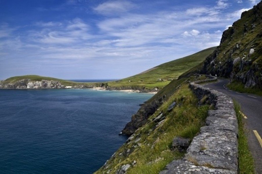
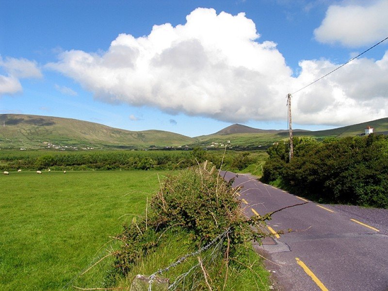
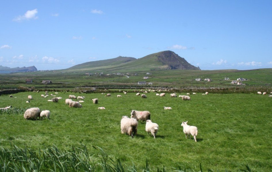
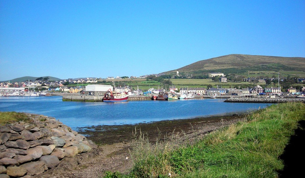
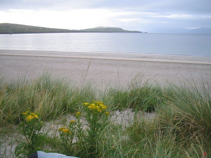
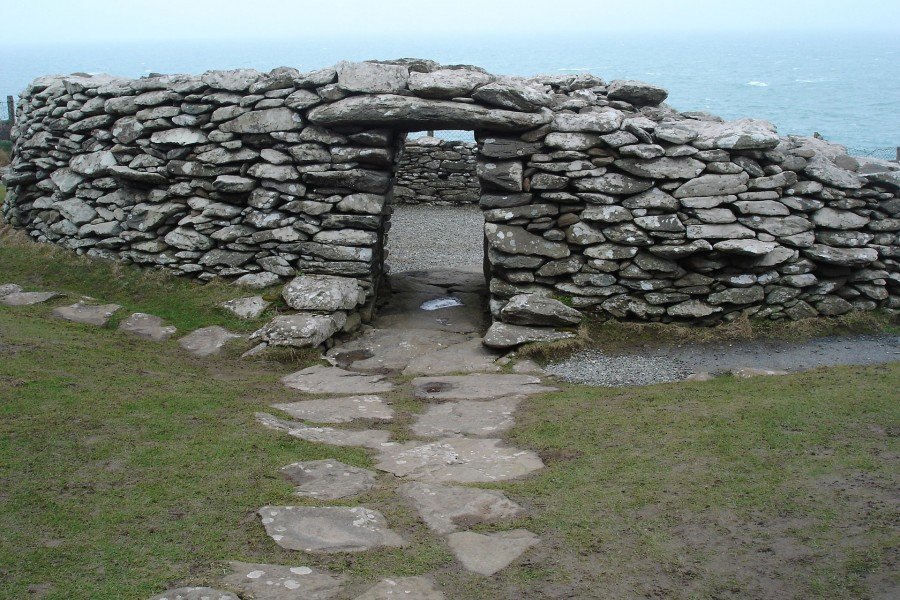
Dingle Way is a circular hiking trail, traditionally hiked clockwise. The path leads mainly through valleys and lowlands, except to cross Masatimpan mountain. Dingle Way boasts a large variety of beautiful landscapes: narrow roads ('boreens'), beaches, acreage and moors.
 

  • Stage 1: Tralee - Camp
  • Stage 2: Camp - Annascaul
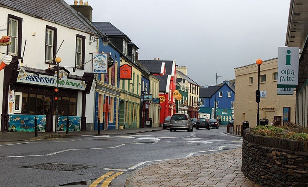
  • Stage 3: Annascaul - Dingle
  • Stage 4: Dingle - Dunquin
  • Stage 5: Dunquin - Feohanagh
  • Stage 6: Feohanagh - Cloghane
  • Stage 7: Cloghane - Castlegregory
  • Stage 8: Castlegregory - Tralee
Sturdy shoes necessary
Overnight stay available
Eating options available

Interesting facts

  • Make sure to bring sturdy footwear on this track. Hiking boots are highly recommended. If you get hungry along the way, there are places to rest and get food. Nevertheless it’s recommended to also have enough water and food in your backpack when hiking or biking.

Videos

Dingle Way (2018) - Beautiful Ireland | 02:50
The Best of Ireland ???? The Dingle Way
VfhKkzLwdDc

Contact

The Dingle Way
+353 (86)-3128045
Travel Deals & Tips
Advertisement

Comments

Rate the Hike
No posts available yet:
  • Nobody has posted on the wall of the Hike "Dingle Way" yet
  • Be the first to comment!
Login with Google+
  • Share your personal insider tip and create new entries
  • Explore fantastic outdoor destinations when and where you want
  • Find your dream destination or discover the world on the interactive map