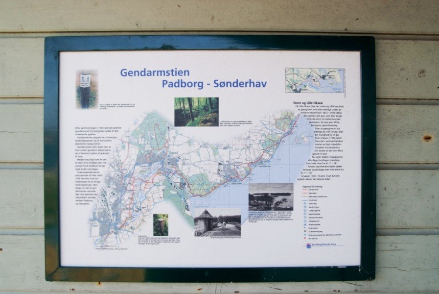
Hike Gendarmstien Trail in the South Jutland Region: Position on map

Hike Gendarmstien Trail

Gendarmstien Trail

Elevation

Min: -1 m
Max: 43 m
Uphill: 346 m
Downhill: 498 m
  • Upload GPS data
Rate the Hike
0
(5)
Travel Deals & Tips
Advertisement
Advertisement
Advertisement
Facts
Difficulty
Moderate
Distance: 73.50 km
Min: -1 m
Max: 43 m
Uphill: 346 m
Downhill: 498 m

Trail characteristics

Asphalt
Dirt road
Forest track
Hiking trail

Interesting facts

  • Make sure to bring sturdy footwear on this track. Hiking boots are highly recommended. If you get hungry along the way, there are places to rest and get food. Nevertheless it’s recommended to also have enough water and food in your backpack when hiking or biking.

Contact

Sønderborg Erhvervsog Turistcenter
Rådhustorvet 7
6400
Sønderborg
E-Mail
%69%6e%66%6f%40%76%69%73%69%74%73%6f%6e%64%65%72%62%6f%72%67%2e%63%6f%6d
+45 42 35 55
Travel Deals & Tips
Advertisement

Comments

Rate the Hike
No posts available yet:
  • Nobody has posted on the wall of the Hike "Gendarmstien Trail" yet
  • Be the first to comment!
Login with Google+
  • Share your personal insider tip and create new entries
  • Explore fantastic outdoor destinations when and where you want
  • Find your dream destination or discover the world on the interactive map