Hike Routeburn Track in Central Otago: Position on map

Hike Routeburn Track

Routeburn Track

Elevation

Min: 463 m
Max: 1,295 m
Uphill: 1,588 m
Downhill: 1,710 m
  • Upload GPS data
About the author
last update on 12 Sep 2016
Rate the Hike
0
(0)
Travel Deals & Tips
Advertisement
Advertisement
Advertisement
Facts
Difficulty
Easy
Distance: 36.67 km
Duration:3 days
Min: 463 m
Max: 1,295 m
Uphill: 1,588 m
Downhill: 1,710 m

Trail characteristics

Dirt road
Forest track
Hiking trail
Experts only

Interesting facts

Read more
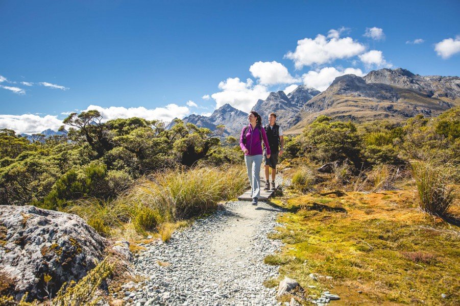
  • You're traveling a distance of 37 km on this easy trail. This makes it a relatively long hike. Average length of all hikes in Otago is 43 km.
  • Elevated between 463 m and 1,295 m, the hike is among the 3 highest elevated hikes in New Zealand. You're facing an uphill climb of 1588 vertical meters on this hike.
  • Make sure to bring sturdy footwear on this track. Hiking boots are highly recommended.

Contact

Te Rua-o-te-moko / Fiordland National Park Visitor Centre
Lakefront Drive
Te Anau 9600
E-Mail
%66%69%6f%72%64%6c%61%6e%64%76%63%40%64%6f%63%2e%67%6f%76%74%2e%6e%7a
Phone+64 3 249 7924
Fax+64 3 249 0257
Travel Deals & Tips
Advertisement

Comments

Rate the Hike
No posts available yet:
  • Nobody has posted on the wall of the Hike "Routeburn Track" yet
  • Be the first to comment!
Login with Google+
  • Share your personal insider tip and create new entries
  • Explore fantastic outdoor destinations when and where you want
  • Find your dream destination or discover the world on the interactive map