Hike Silberkar Gorge - Ramsau am Dachstein Styria in Schladming-Dachstein: Position on map

Hike Silberkar Gorge - Ramsau am Dachstein Styria

Silberkar Gorge - Ramsau am Dachstein Styria

Elevation

Min: 1,015 m
Max: 1,317 m
Uphill: 413 m
Downhill: 595 m
  • Upload GPS data
About the author
last update on 15 Sep 2017
Rate the Hike
0
(4)
Travel Deals & Tips
Advertisement
Advertisement
Advertisement
Facts
Difficulty
Moderate
Distance: 4.27 km
Loop trail
Min: 1,015 m
Max: 1,317 m
Uphill: 413 m
Downhill: 595 m

Trail characteristics

Hiking trail

Interesting facts

Read more
  • You're traveling a distance of 4 km on this moderate trail. The hike is therefore not too long. Average length of all hikes in Styria is 15 km.
  • Silberkar Gorge - Ramsau am Dachstein Styria is among the 5 best rated Hikes in Styria.
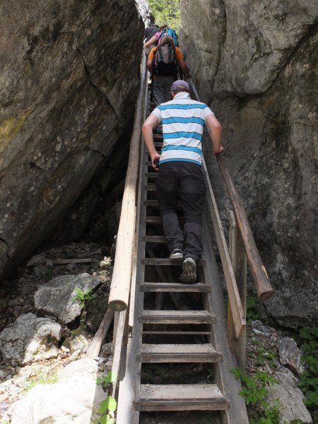
  • You're facing an uphill climb of 413 vertical meters on this hike. The highest point of the track is 1,317 m above sea level.
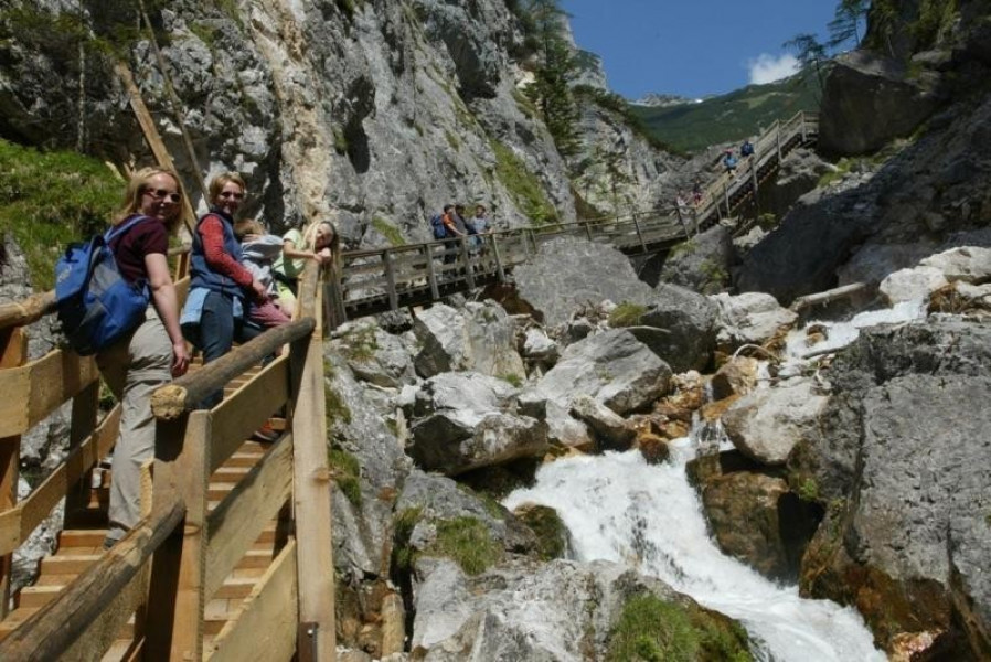
  • Don’t hesitate to take your kids along on this moderate hikes. The hike is also perfect if the kid’s wanna bring their dog on the trip. (See all dog friendly hikes in Styria.)
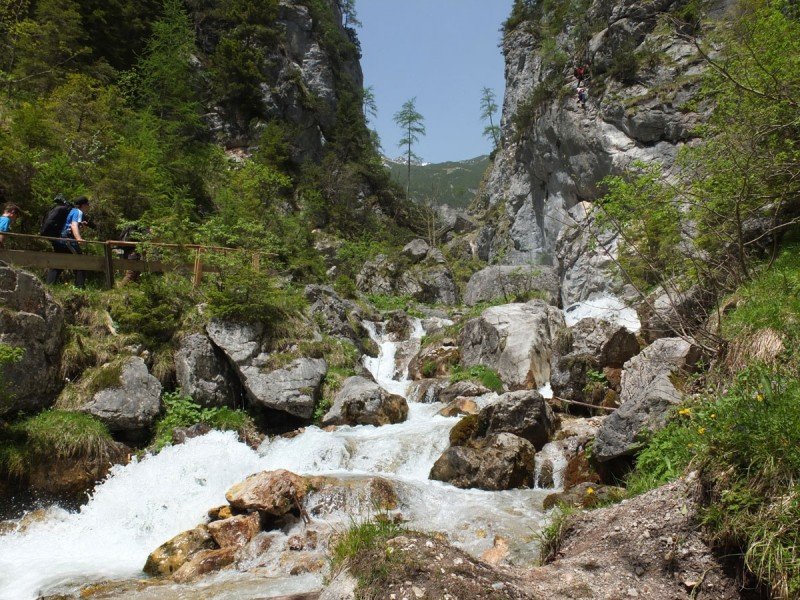
  • Make sure to bring sturdy footwear on this track. Hiking boots are highly recommended.

Contact

Tourismusverband Ramsau am Dachstein
Ramsau 372
8972
Ramsau am Dachstein
E-Mail
%69%6e%66%6f%40%72%61%6d%73%61%75%2e%63%6f%6d
Phone+43 3687 81833
Fax+43 3687 81085
Travel Deals & Tips
Advertisement

Comments

Rate the Hike
No posts available yet:
  • Nobody has posted on the wall of the Hike "Silberkar Gorge - Ramsau am Dachstein Styria" yet
  • Be the first to comment!
Login with Google+
  • Share your personal insider tip and create new entries
  • Explore fantastic outdoor destinations when and where you want
  • Find your dream destination or discover the world on the interactive map