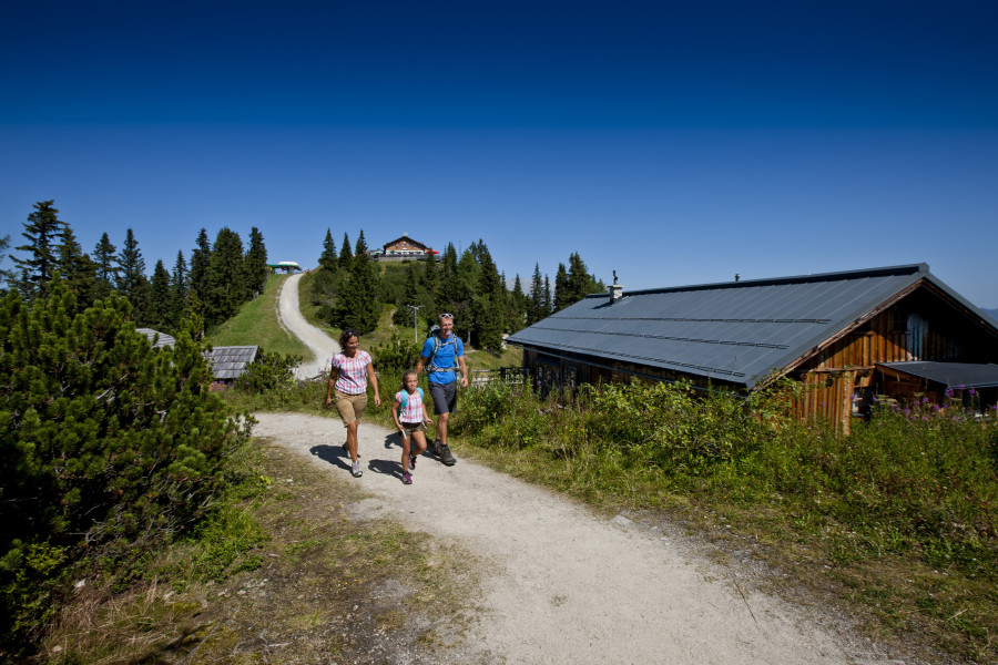
Hike Winter trail Hochwurzen in Schladming-Dachstein: Position on map

Hike Winter trail Hochwurzen

Winter trail Hochwurzen

Elevation

Min: 1,248 m
Max: 1,852 m
Uphill: 570 m
Downhill: 570 m
  • Upload GPS data
About the author
Rate the Hike
0
(0)
Travel Deals & Tips
Advertisement
Advertisement
Advertisement
Facts
Difficulty
Moderate
Distance: km
Duration:3 h
Loop trail
Min: 1,248 m
Max: 1,852 m
Uphill: 570 m
Downhill: 570 m

Trail characteristics

Forest track
Hiking trail

Interesting facts

Read more
  • You're traveling a distance of 6 km on this moderate trail. The hike is therefore not too long. Average length of all hikes in Styria is 15 km.
  • You're facing an uphill climb of 570 vertical meters on this hike. The high point of the hike is located at an elevation of 1,852 m.
  • This moderate hike is perfect for the whole family. The hike is also perfect if the kid’s wanna bring their dog on the trip. (See all dog friendly hikes in Styria.)
  • Hiking boots are not required, but the hike might be more enjoyable with sturdy footwear (especially in wet conditions). If you get hungry along the way, there are places to rest and get food. Nevertheless it’s recommended to also have enough water and food in your backpack when hiking or biking.

Contact

Tourismusverband Schladming
Rohrmooserstr. 234
8970
Schladming
E-Mail
%6f%66%66%69%63%65%40%73%63%68%6c%61%64%6d%69%6e%67%2e%63%6f%6d
Phone+43 (0) 3687 22 777 22
Fax+43 (0) 3687 22 777 52
Travel Deals & Tips
Advertisement

Comments

Rate the Hike
No posts available yet:
  • Nobody has posted on the wall of the Hike "Winter trail Hochwurzen" yet
  • Be the first to comment!
Login with Google+
  • Share your personal insider tip and create new entries
  • Explore fantastic outdoor destinations when and where you want
  • Find your dream destination or discover the world on the interactive map