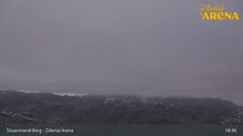
Hike Faulbaumgartenalm Alpbach - Tyrol in the Alpbachtal Seenland: Position on map

Webcams around the Hike Faulbaumgartenalm Alpbach - Tyrol (Alpbachtal Seenland)

Faulbaumgartenalm Alpbach - Tyrol
Advertisement
Flying Cam Alpbachtal
Elevation: 922 m
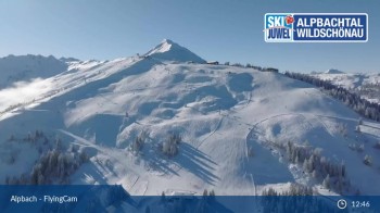
The Flying Cam shows the Alpbachtal from the air. The webcam flies at irregular intervals on changing routes and thus always provides new...
55 minutes ago
Alpbach - Galtenberg Resort
Elevation: 1,016 m
The camera shows current panoramic images from the Galtenberg Resort in Alpbach.
2 minutes ago
Mountain restaurant Pinzgerhof at Brunnerberg
Elevation: 929 m
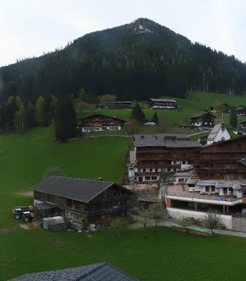
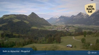
Located at mountain restaurant Pinzgerhof, this webcam shows Alpbachtal valley.
39 minutes ago
Feilmoos / Tyrol
Elevation: 974 m
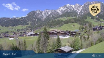
Your view at Feilmoos / Alpbachtal valley.
41 minutes ago
View from Wiedersbergerhorn
Elevation: 1,871 m
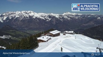
View from Wiedersbergerhorn in Alpbachtal valley, Tyrol..
46 minutes ago
Roggenboden at Skijuwel Alpbachtal Wildschönau
Elevation: 930 m
This webcam shows you the skiing area at Roggenboden.
39 minutes ago
Ski and Hiking Area Schatzberg
Elevation: 1,790 m
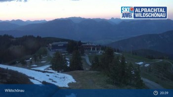
Enjoy the panoramic view at the top station of Schatzberg gondola in Wildschönau.
45 minutes ago

Webcam is Missing

A webcam is missing? Do you know the source of another one?

All Webcams on the map

Webcam Information

  • 7 webcams are located near the Hike Faulbaumgartenalm Alpbach - Tyrol. The webcams fall into three groups, namely 6 live streaming webcams und one panoramic webcam.
  • The highest webcam (View from Wiedersbergerhorn) is situated 1871 metres above sea level, wheras the lowest webcam (Flying Cam Alpbachtal) is situated 922 metres above sea level.
  • According to its visits, the webcam Flying Cam Alpbachtal is the most popular one in the vicinity.
Travel Deals & Tips
Advertisement
Advertisement
Advertisement
Login with Google+
  • Share your personal insider tip and create new entries
  • Explore fantastic outdoor destinations when and where you want
  • Find your dream destination or discover the world on the interactive map