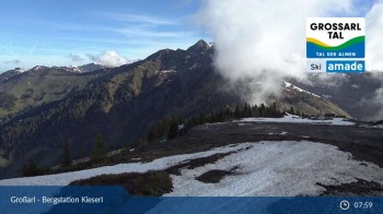
Beautiful view from Kieserl top station in Grossarl near Salzburg.
9 hours ago
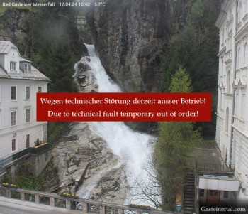
View of the waterfall in Bad Gastein, a village in the mountains near Salzburg.
17 minutes ago
This webcam overlooks the moutain-scape of Bad Gastein from the south side of Stubnerkogel's top station.
9 hours ago
Webcam located at Loosbühelalm near Grossarl.
temporarily unavailable
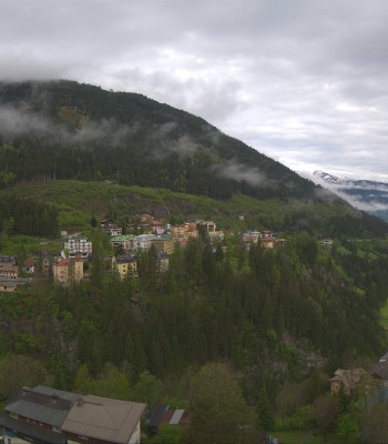
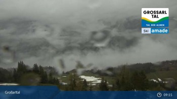
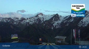
Panoramic view of the Grossarltal in Salzburg.
8 hours ago
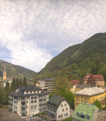
Your view of Bad Hofgastein in the Gastein Valley. You can see the spa park and in the background the mountains Schlossalm, Stubnerkogel and...
9 hours ago
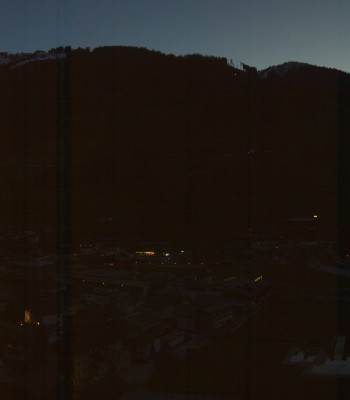
Enjoy the view from the Hotel Schillerhof in Bad Gastein in the Gastein Valley.
9 hours ago
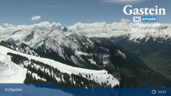
This webcam is located at Gipfelbahn's base station and overlooks the village of Dorfgastein.
32 minutes ago
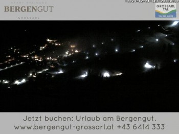
View from the Bergengut Hotel at Grossarl
3 hours ago
This is the view from Weitmoser Schlossalm over the Alpine landscape around Bad Hofgastein.
9 hours ago
view from the Fulseck mountain
22 minutes ago
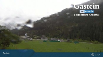
The webcam looks upon ski centre Angertal in the Gastein valley.
9 hours ago
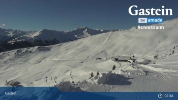
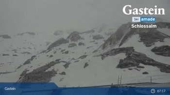
The webcam looks over the mountain-scape around Schlossalm and Bad Hofgastein.
9 hours ago
View of Snowpark Stubnerkogel in Bad Gastein.
9 hours ago
View from the Harbachbahn mountain station
9 hours ago
View from the top station on Kreuzkogel over the surrounding mountains.
9 hours ago
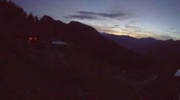
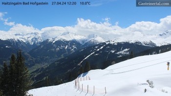
View from Haitzingalm, a mountain hut near Bad Hofgastein
28 minutes ago
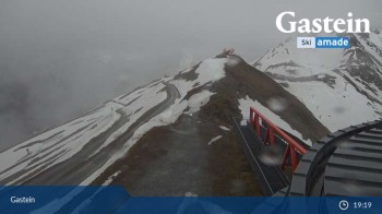
'Bad Gastein' at 'Stubnerkogel'
temporarily unavailable