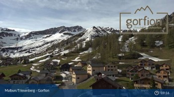
View from the roof of Familoter Gorfion in Malbun.
36 minutes ago
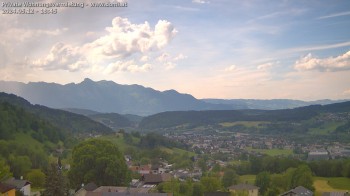
Here you see a panoramic view from an altitude of 635 meters in Gampelün near Feldkirch in Vorarlberg in Austria of the Walgau, the Hohen Fraßen...
1 minute ago
This webcam is located at 635 meters in Gampelün in Vorarlberg in Austria and offers you a view over the municipality of Frastanz and the...
4 minutes ago
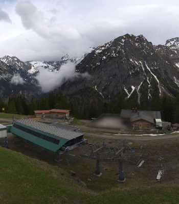
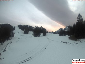
The camera shows current pictures from the top station of the Palüd gondola lift in the Brandnertal valley. The Glattjoch chairlift can also be seen.
6 minutes ago
This webcam is located near Malbun in Liechtenstein.
4 minutes ago
This webcam is located at Hotel Turna in Malbun - Liechtenstein.
1 minute ago
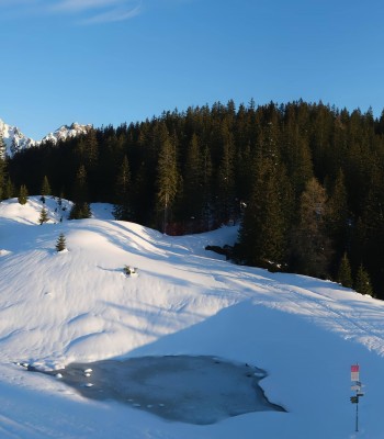
Enjoy the panoramic view of 'Brandner Valley' in Vorarlberg.
6 minutes ago
Enjoy the great view from the top station Malbun-Sareis in Liechtenstein.
temporarily unavailable
You can see the mountain station of the "Dorfbahn" at valley "Brandnertal"
11 minutes ago
You can see the panoramic view from top station of "Panoramabahn" at valley "Brandnertal" in Vorarlberg
14 minutes ago