Tourist Attraction Bunker at the source of the Adige River in the Vinschgau: Position on map

Webcams near the Tourist Attraction Bunker at the source of the Adige River

Bunker at the source of the Adige River
Advertisement
Lake Resia and the symbol of Venosta Valley
Elevation: 1,524 m
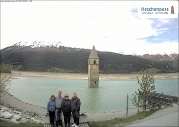
View to the Venosta Valley at the Lake Resia.
14 hours ago
Ski resort Schöneben / Reschenpass
Elevation: 2,270 m
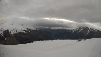
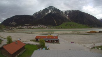
Enjoy the panoramic view over Schöneben and the Reschenpass
10 hours ago
View Rojen Mountain, Vinschgau
Elevation: 2,401 m
Panoramic view from Rojen mountain in South Tyrol.
47 minutes ago
Zirmbahn Nauders
Elevation: 2,490 m
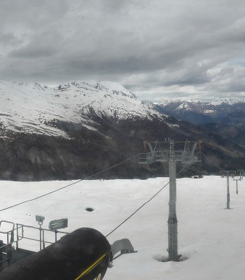
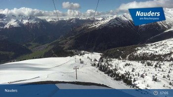
View from the top of the Zirmbahn near Nauders.
31 minutes ago
View to the Lake Resia
Elevation: 1,507 m
View from Seehotel in Reschen to the Lake of Resa.
42 minutes ago
Lower station Schöneben
Elevation: 1,503 m
You can see the villages Reschend and Graun at the Reschen Lake in South Tyrol.
10 hours ago
Mountain station Zirmbahn (Nauders)
Elevation: 2,482 m
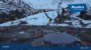
Enjoy the view of mountain station Zirmbahn
10 hours ago
Bergkastelseilbahn mountain station
Elevation: 2,170 m
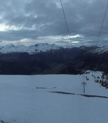
Your view at Bergkastelseilbahn mountain station.
10 hours ago

Webcam is Missing

A webcam is missing? Do you know the source of another one?

All Webcams on the map

Webcam Information

  • There are 8 webcams dotted around the Tourist Attraction Bunker at the source of the Adige River. The webcams fall into three groups, namely 2 live streaming webcams, 2 panoramic webcams und 4 further webcams.
  • The highest webcam (Zirmbahn Nauders) is located at an altitude of 2490 metres, while the lowest one (Lower station Schöneben) is situated at an altitude of 1503 metres.
  • Most popular and most viewed/visited webcam: View Rojen Mountain, Vinschgau.
Travel Deals & Tips
Advertisement
Advertisement
Advertisement
Login with Google+
  • Share your personal insider tip and create new entries
  • Explore fantastic outdoor destinations when and where you want
  • Find your dream destination or discover the world on the interactive map