Route description
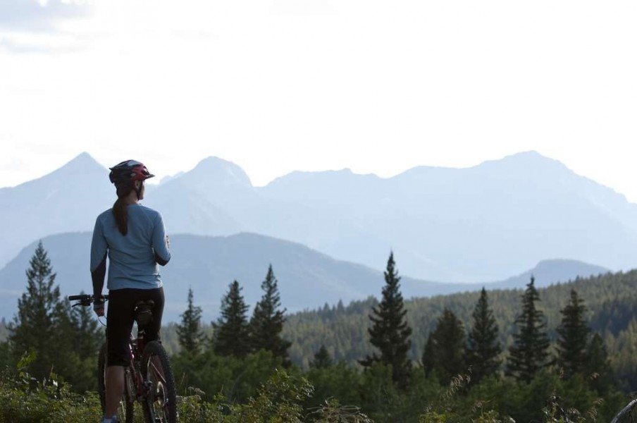
A mountain bike highlight
This bike trail is a special paradise for all mountain bikers during the summer months, when it offers a great mixture between a great view to the surrounding landscape and an exhaustive exercise. The tour starts off right by a picnic spot at the Barrier Dam. Head to the west from the starting point and cross an embankment that leads your way onto a path through the forest. Continue cycling straight ahead and ignore the forks in the road going to the left and right at first. The paths lead your way steadily up the Prairie View Mountain.
Panorama view down the valley
You can stay on your saddle until you reach the pinnacle, except for the very last piece of the way: Here you might have to carry your bike for a short bit because of a hard to reach narrow way on the last part to the very top. Nevertheless, the treat for your efforts uphill is right to follow with the magnificent view to the surrounding valleys from the pinnacle. After enjoying the view from the Prairie View Mountain, move towards the gravel path that leads your way back to the valley. Beware of this part of the tour: there are trees and other pieces of wood lying around which might hinder you on your way down.
Alongside the Barrier Lake
Back in the valley, the paths will lead you into a forest that heads around the Barrier Lake. It is wonderful to take a look at the peaceful lake here after an exhausting journey. From the lake the path will continue back to the previously mentioned dam and finally to the starting point of the tour ahead.
Where to eat
There are no places to get food on the entire tour. Be sure to bring enough food/ water beforehand!
Interesting facts
- You're traveling a distance of 15 km on this strenuous trail. The bike trail is therefore not too long. Average length of all bike Trails in Alberta is 17 km.
- Elevated between 1,379 m and 1,888 m, the bike trail is among the 3 highest elevated bike Trails in Canada. You're facing an uphill climb of 638 vertical meters on this bike trail. This makes the Bike Trail the one with the largest ascent in Canada.
Highlights of the tour
For mountain bike fanatics the steep way to the top itself will be a true highlight. For everyone else it is probably the reward awaiting you once you are up there: The magnificent view down the valley!
Getting here
By car
It is best to get to the starting point of the tour by the Barrier Dam with a car. There is a large parking area available by the dam that offers a pick nick spot as well. The parking area is located directly by the Highway 40, which you reach 8 kilometers away from the Highway 1. Follow a gravel path to the actual starting point of the tour. You will see signs to the Prairie View Climb shortly after that will guide your way to the starting point about two kilometers further.