Route description
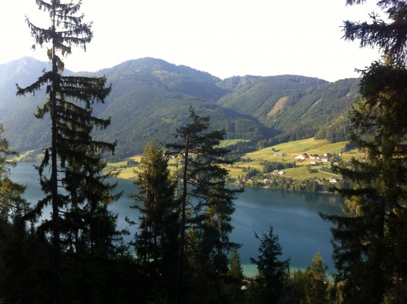
The first part of this tour leads from Neusach on a steeper and afforested trail up to alp Hinterm Brunn on 340m/1115ft difference in altitude. On the way there you will have a great view on lake Weißensee. The alp is located on a plateau 1275m/4183ft above sea level.
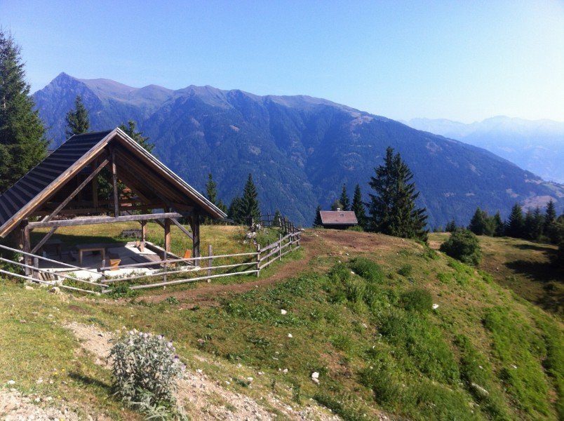
Right in front of the alp take the branch-off towards alp Gajacher (closed down), which is located on 1422m/4665ft height. (Variation: instead of hiking the whole way up on a forest road you can take a short cut. Therefore take the steep slope right behind alp Hinterm Brunn).
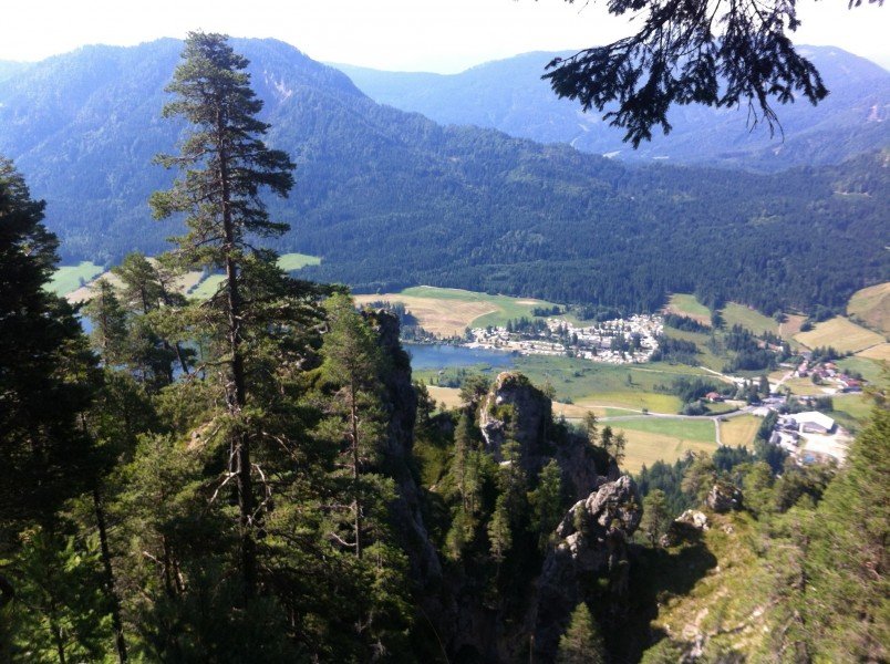
Finally at alp Gajacher you will be rewarded with a great view above valley Drautal.
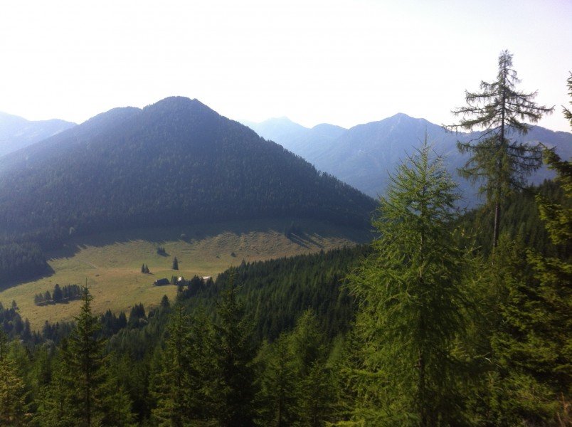
From there take the broad trail, which is partly laced with shale pebble, towards Weiße Wand.
(Variation: from alp Gajacher via Hochtraten (1646m/5400ft) towards Weiße Wand)
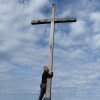
At Weiße Wand enjoy the amazing keen insight on lake Weissensee. Now start descending towards Oberdorf (steeper and easier option available).
From Oberdorf towards Techendorf or Neusach.
Interesting facts
- With an overall length of 16 km the hike is among the 5 longest hikes in Carinthia available on TouriSpo.
- You're facing an uphill climb of 1200 vertical meters on this hike. This makes the hike one of the 3 hikes with the most ascent in Carinthia. The hike takes you to an elevation of 1,556 m.
- You shouldn’t forget to bring your hiking boots. There are some sections on the trail where sturdy footwear is required. If you get hungry along the way, there are places to rest and get food. Nevertheless it’s recommended to also have enough water and food in your backpack when hiking or biking.
Highlights of the tour
Highlights are definitely the amazing view across Drautal and Lienzer Dolomiten as well as the keen insight on lake Weissensee.
Equipment
Strong footwear recommended.
ATTENTION:
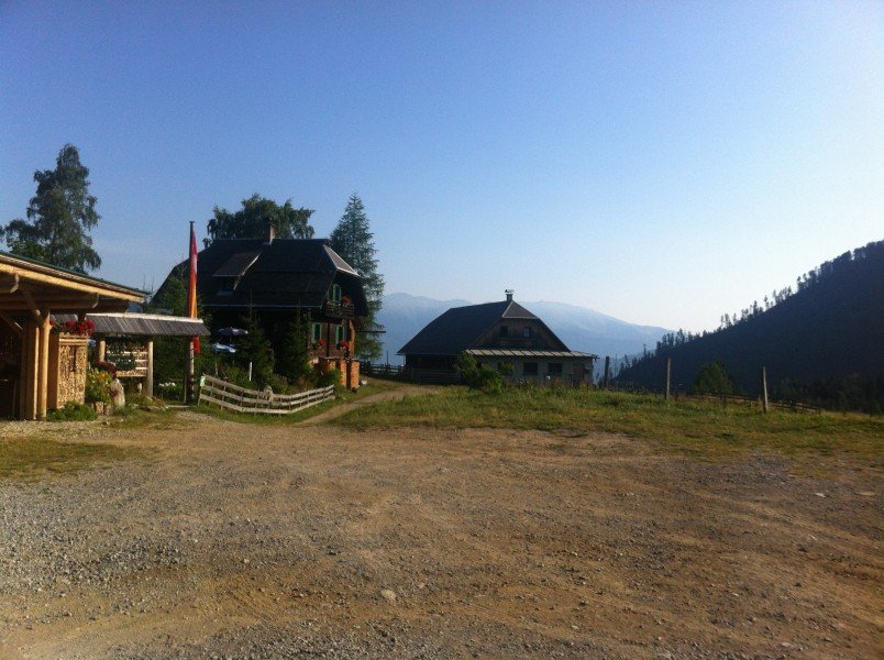
alp Hinterm Brunn is the only place to get some food and drinks, so make sure to bring enough supplies.
Getting here
By car
North/south: Tauernautobahn A10 – Exit at Spitattal towards Lienz, Weissensee – in Greifenburg drive towards Weissensee
East: Autobahn A2 – Villach – Spittal – Greifenburg – Weissensee OR Villach – towards Italy to exit Hermagor/Gailtal – Hermagor – Weissensee Autobahn A1 – Salzburg – Tauernautobahn A10 – Knoten Spittal – Greifenburg – Weissensee
From the reversion loop in Neusach follow the signs to alp Hinterm Brunn (about 1h). You can also start the hike in Techendorf, Gatschach or Oberdorf.