Route description
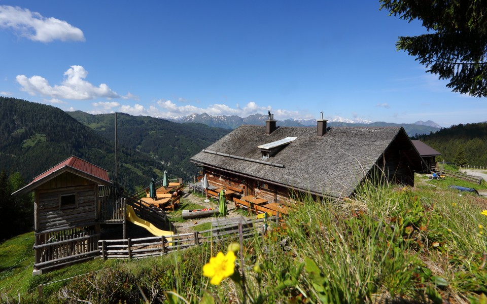
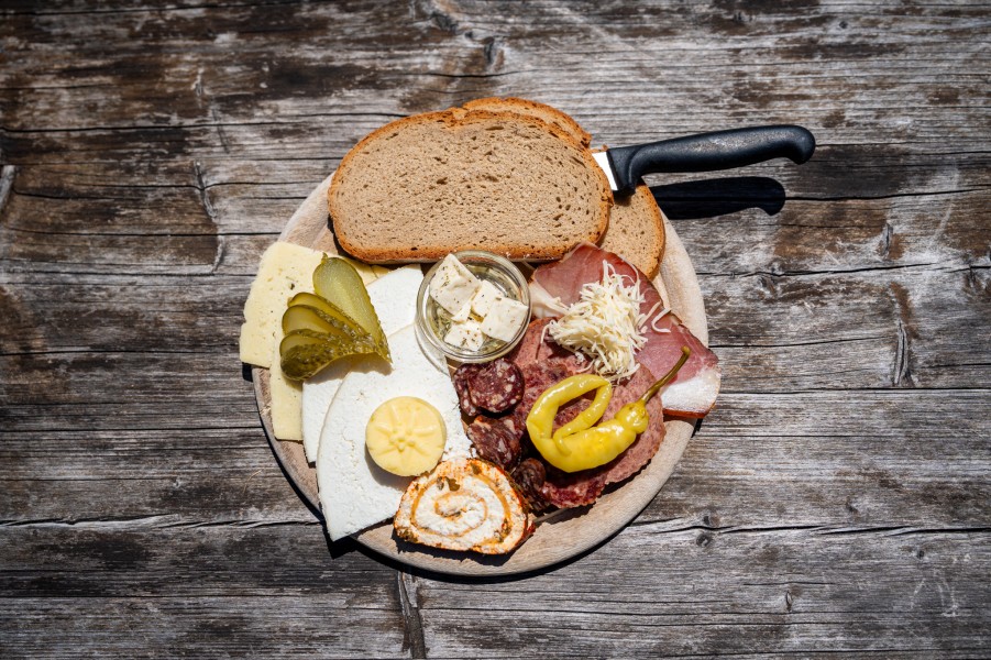
Start the hike in Ellmautal at the parking lot Grund. First take the path through the forest and continue across wide meadows to Ellmaualm. You'll pass the alp Großellmau- Heimalm, which is closed down, though. At Ellmaualm enjoy the great panorama and home-made delicacies like sour dough bread, butter, cheese and bacon. Kids play on the playground.
Now continue along the trail Salzburger Almenweg passed Henerbichlalm (closed down). Alternatively you can hike passed Trögseen, which are small mountain lakes also great to take a swimm on hot summer days. Both ways take about the same amount of time.
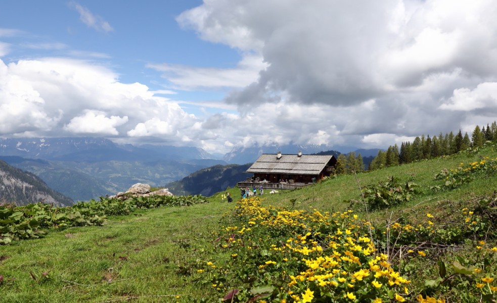
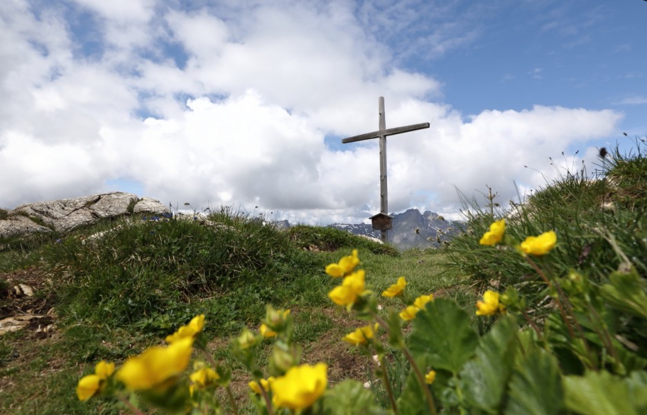
Afterwards you'll reach the cirque Spatkar. Pass the closed down alps Karalmen and reach alp Sauerkaralm. This alp is the highest located alp in Großarltal. The view is incredible. Salzburger Land Tourism GmbH and austrian marketing take many pictures up there. The mountains Große Tauern, Hochkönig, Tennengebirge and Hagengebirge contribute to the unique view. If you are there at the right time do not miss the sunset. Because of a free view towards south, west and north sunsets are particularly beautiful up there.
Descend passed Röschenbergalm towards Gerstreitalm.
Interesting facts
- You're traveling a distance of 13 km on this moderate trail. Average length of all hikes in Salzburg is 15 km.
- You're facing an uphill climb of 617 vertical meters on this hike. The hike takes you to an elevation of 1,910 m.
- You shouldn’t forget to bring your hiking boots. There are some sections on the trail where sturdy footwear is required. If you get hungry along the way, there are places to rest and get food. Nevertheless it’s recommended to also have enough water and food in your backpack when hiking or biking.
Highlights of the tour
Even if the ascent up to Sauerkopf is a detour of about 1.5h it is definitely worth the trouble. The panorama up there is breathtaking.
Equipment
Hiking boots, map (Tappeiner nr. 311)