Route description
The cycling tour begins at the tourist information centre in Flachau. After passing the village café and having crossed the bridge, you keep cycling in the direction of the miniature golf course. You follow the signs on the path along the Enns until you get to the roundabout, which you'll pass through when you enter Flachau.
You turn into the path leading towards Wagrain and continue towards the centre of Wagrain. Turn left at the church in the direction of Kleinarl. Follow the country road towards Kleinarl and turn right into the Sauwaldweg at the distance of 13.1 km (8.1 miles), just after the bridge. The path keeps ascending. After having cycled approximately 19 km (11.8 miles), you will have reached the highest point of the tour. This is the climax of the tour.
From here the descend begins leading towards Alpendorf and then to St. Johann im Pongau. In the centre of St. Johann, turn right in the direction of Wagrain. Use the Bundesstraße to get to Wagrain. In the centre of Wagrain, just at the church, turn left at the junction leading towards Flachau. Mainly, you will then continue on a cycling path, which runs parallel to the Bundesstraße. This way you get back to the starting point of the tour.
Where to eat
Along the way you will find many possibilties for your lunch. Even on the "Grafenberg" are some huts where you can have a refreshment.
Interesting facts
- With an overall length of 52 km the bike trail is among the 10 longest bike Trails in Austria available on TouriSpo.
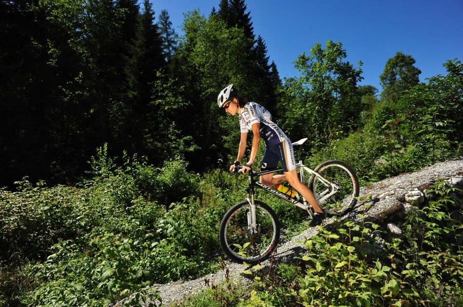
- You're facing an uphill climb of 3202 vertical meters on this bike trail. This is quite much. You should be fit to do this track. This makes the bike trail one of the 3 bike Trails with the most ascent in Austria. The bike trail takes you to an elevation of 1,376 m.
- If you get hungry along the way, there are places to rest and get food. Nevertheless it’s recommended to also have enough water and food in your backpack when hiking or biking.
Highlights of the tour
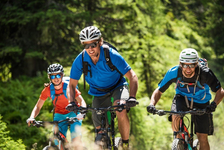
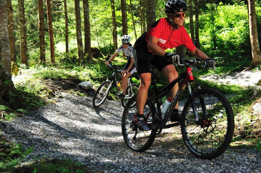
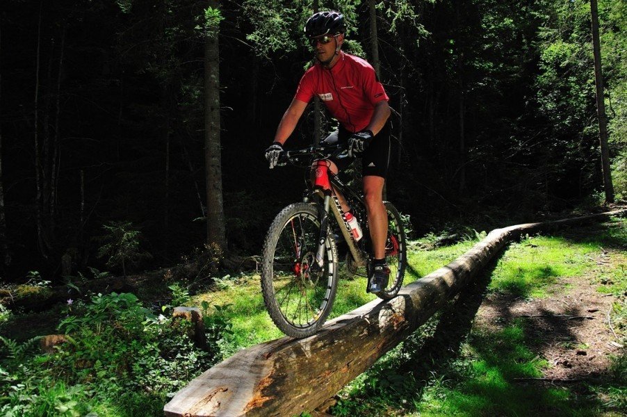
This tour offers a varied and exciting cycling experience, leading through forests, passing ski slopes and picturesque mountain villages.
Video
Getting here
By car
You can reach Flachau easily via the A10 Tauern motorway (exit 66). The car you can leave at the parking space directly in the center of Flachau, nearby the BBF-Center.
By public transport
With the "Sportwelt-Bus" you get to the bus station "Flachau Ortsmitte". From there you can start with your biking tour. You need to inform the bus driver if you want to take your bike with the bus.