Hike Hochkammer path (Alpine center Kitzsteinhorn - Fuerthermoar alp - Mooserboden) in Zell am See - Kaprun: Position on map

Hike Hochkammer path (Alpine center Kitzsteinhorn - Fuerthermoar alp - Mooserboden)

Hochkammer path (Alpine center Kitzsteinhorn -...

Elevation

Min: 1,805 m
Max: 2,644 m
Uphill: 424 m
Downhill: 1,046 m
  • Upload GPS data
About the author
last update on 4 Sep 2017
Rate the Hike
0
(6)
Travel Deals & Tips
Advertisement
Advertisement
Advertisement
Facts
Difficulty
Advanced
Distance: km
Duration:3 h 30 min
Min: 1,805 m
Max: 2,644 m
Uphill: 424 m
Downhill: 1,046 m

Trail characteristics

Hiking trail
Experts only

Interesting facts

Read more
  • You're traveling a distance of 5 km on this strenuous trail. The hike is therefore not too long. The average length of all hikes in Salzburg is 15 km.
  • Hochkammer path (Alpine center Kitzsteinhorn - Fuerthermoar alp - Mooserboden) is among the 10 best rated Hikes in Salzburg.
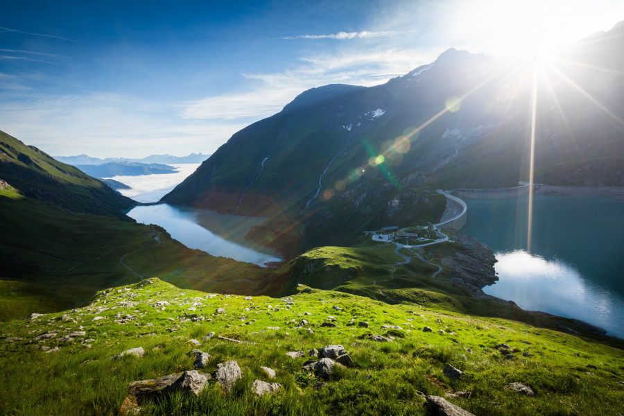
  • Elevated between 1,805 m and 2,644 m, the hike is the highest elevated hikes in Salzburg. You're facing an uphill climb of 424 vertical meters on this hike.
  • You shouldn’t forget to bring your hiking boots. There are some sections on the trail where sturdy footwear is required. There are places to buy beverages and food along the track. However it’s always recommended to bring enough water and food along with you.

Contact

Alpincenter
5710
Kaprun
E-Mail
%77%65%6c%63%6f%6d%65%40%7a%65%6c%6c%61%6d%73%65%65%2d%6b%61%70%72%75%6e%2e%63%6f%6d
Phone+43 (0)6542 770
Fax+43 (0)6542 72032
Travel Deals & Tips
Advertisement

Comments

Rate the Hike
No posts available yet:
  • Nobody has posted on the wall of the Hike "Hochkammer path (Alpine center Kitzsteinhorn - Fuerthermoar alp - Mooserboden)" yet
  • Be the first to comment!
Login with Google+
  • Share your personal insider tip and create new entries
  • Explore fantastic outdoor destinations when and where you want
  • Find your dream destination or discover the world on the interactive map