Hike Karl von Edel Hut - Kasseler Hut Mayrhofen in the Zillertal: Position on map

Hike Karl von Edel Hut - Kasseler Hut Mayrhofen

Karl von Edel Hut - Kasseler Hut Mayrhofen

Elevation

Min: 2,044 m
Max: 2,499 m
Uphill: 951 m
Downhill: 922 m
  • Upload GPS data
About the author
last update on 30 May 2017
Rate the Hike
0
(0)
Travel Deals & Tips
Advertisement
Advertisement
Advertisement
Facts
Difficulty
Advanced
Distance: 12.92 km
Duration:10 h
Min: 2,044 m
Max: 2,499 m
Uphill: 951 m
Downhill: 922 m

Trail characteristics

Hiking trail
Experts only

Interesting facts

Read more
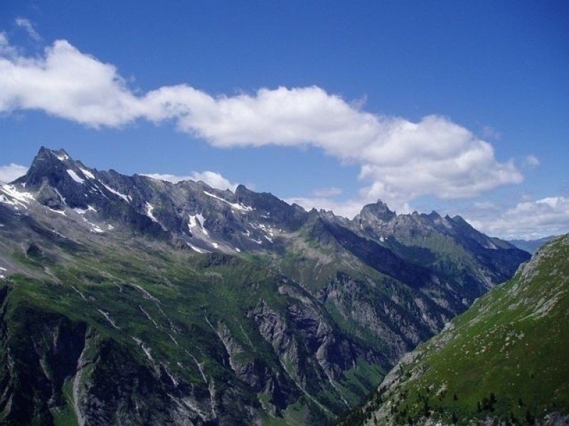
  • You're traveling a distance of 13 km on this strenuous trail. The average length of all hikes in Tyrol is 15 km.
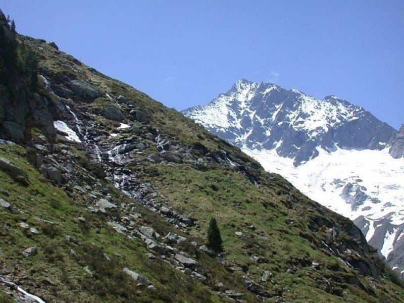
  • You're facing an uphill climb of 951 vertical meters on this hike. The hike takes you to an elevation of 2,499 m.
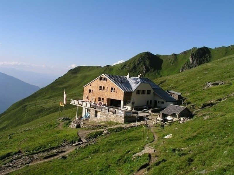
  • You shouldn’t forget to bring your hiking boots. There are some sections on the trail where sturdy footwear is required.

Contact

Ferienregion Mayrhofen-Hippach
Dursterstraße 225
A-6290
Mayrhofen
E-Mail
%69%6e%66%6f%40%6d%61%79%72%68%6f%66%65%6e%2e%61%74
Phone(+43) 5285 6760
Fax(+43) 5285 62760-33
Travel Deals & Tips
Advertisement

Comments

Rate the Hike
No posts available yet:
  • Nobody has posted on the wall of the Hike "Karl von Edel Hut - Kasseler Hut Mayrhofen" yet
  • Be the first to comment!
Login with Google+
  • Share your personal insider tip and create new entries
  • Explore fantastic outdoor destinations when and where you want
  • Find your dream destination or discover the world on the interactive map