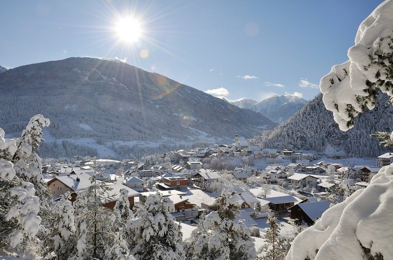
Route description
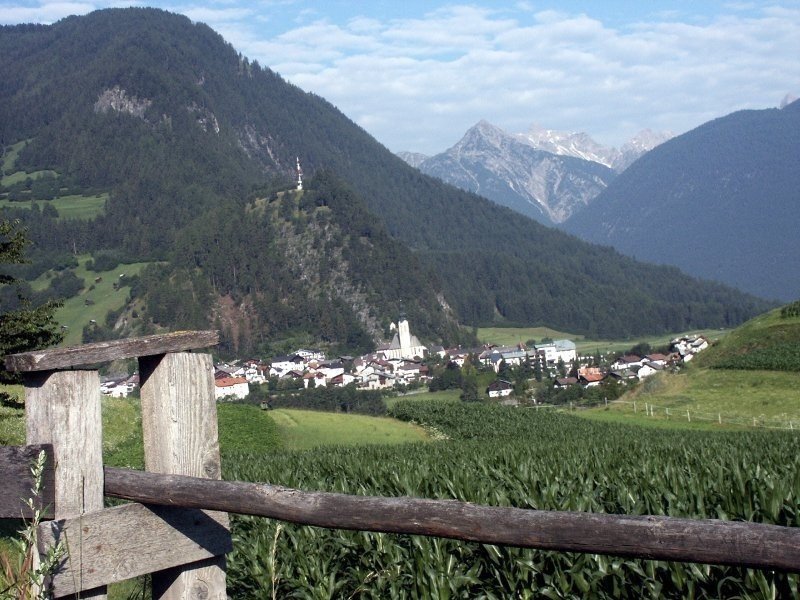
The loop road through Arzl starts at the tourist information in the town center, where you can also get your stamp. Afterwards the path leads passed the veterinary clinic, around Osterstein till the sports fields of Arzl. From there the trail leads towards the town center to chapel Magnuskapelle. Shortly before you reach the chapel cross the rack to bridge Benni Raich. Cross the bridge and walk passed the local elementary school to Pitze, from where you will get to another rack and back to the town center where you started the tour.
Suitable for dogs
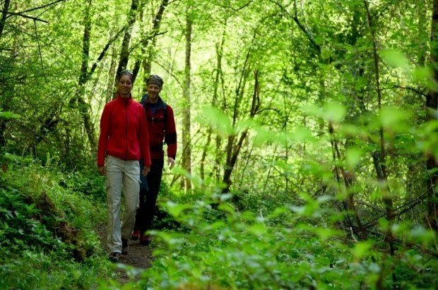
Suitable for kids
Interesting facts
- You're traveling a distance of 7 km on this easy trail. The hike is therefore not too long. The average length of all hikes in Tyrol is 15 km.
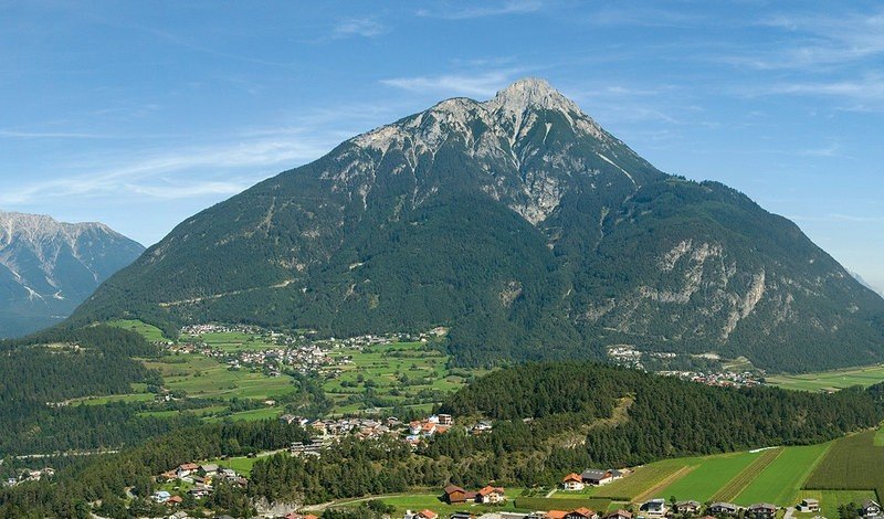
- The hike takes you to an elevation of 883 m.
- The hike is one of the family friendly trails in the region. What’s even better: You can also bring the family’s best friend on this dog friendly hike. (See all dog friendly hikes in Tyrol.)
- In case of good weather conditions, the hike can also be done without bringing your hiking boots.
Getting here
Starting point of the tour in the tourist information at Arzl town center.