Hike Nez Napoleon in Belgium in Liège: Position on map

Hike Nez Napoleon in Belgium

Nez Napoleon in Belgium

Elevation

Min: 428 m
Max: 513 m
Uphill: 172 m
Downhill: 89 m
  • Upload GPS data
About the author
last update on 6 Aug 2019
Rate the Hike
0
(5)
Travel Deals & Tips
Advertisement
Advertisement
Advertisement
Facts
Difficulty
Moderate
Distance: 5.90 km
Duration:2 h 30 min
Loop trail
Min: 428 m
Max: 513 m
Uphill: 172 m
Downhill: 89 m

Trail characteristics

Forest track
Hiking trail

Webcams

Unfortunately, there is no webcam available yet!

Route description

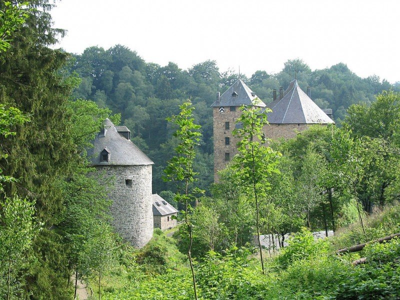
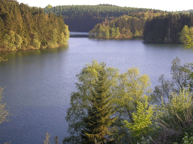
This tour leads you through the beautiful landscape of East Belgium, all the way to the rock formation 'Nez Napoleon', in English 'Napoleon's Nose'. You also come past the impressive bastle Reinhardstein as well as the catchment lake of Robertville.

Sturdy shoes necessary

Interesting facts

Read more
  • You're traveling a distance of 6 km on this moderate trail. The hike is therefore not too long. Average length of all hikes in Wallonia is 11 km.
  • Nez Napoleon in Belgium is the the best rated hike in Belgium.
  • You shouldn’t forget to bring your hiking boots. There are some sections on the trail where sturdy footwear is required.

Video

Rund um Napoleons Nase | 00:09

Contact

Verkehrsamt der Ostkantone
Place Albert I 29A
4960
Malmedy
E-Mail
%69%6e%66%6f%40%6f%73%74%62%65%6c%67%69%65%6e%2e%65%75
+32 80-330250
Travel Deals & Tips
Advertisement

Comments

Rate the Hike
No posts available yet:
  • Nobody has posted on the wall of the Hike "Nez Napoleon in Belgium" yet
  • Be the first to comment!
Login with Google+
  • Share your personal insider tip and create new entries
  • Explore fantastic outdoor destinations when and where you want
  • Find your dream destination or discover the world on the interactive map