in the Bohemian Forest: Position on map")
Route description
Experience nature in 6 days on 115 km
Deceleration is a contemporary word that expresses the longing for slowness. When hiking, you see infinitely more and perceive nature around you with all your senses. In doing so, one comes to rest and leaves the hectic everyday life behind.
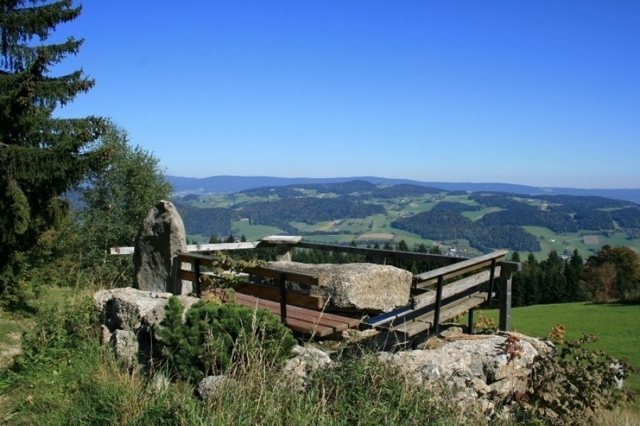
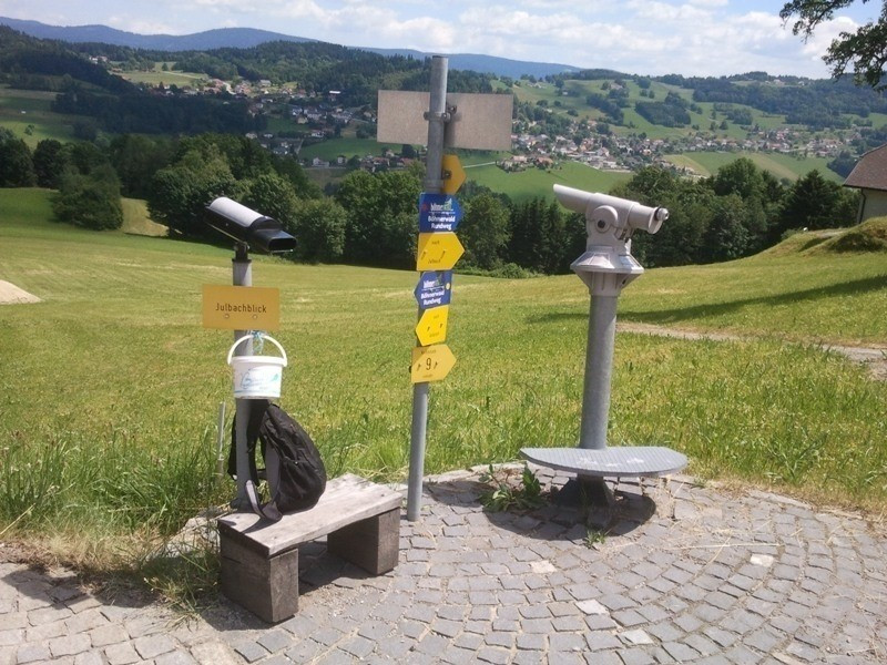
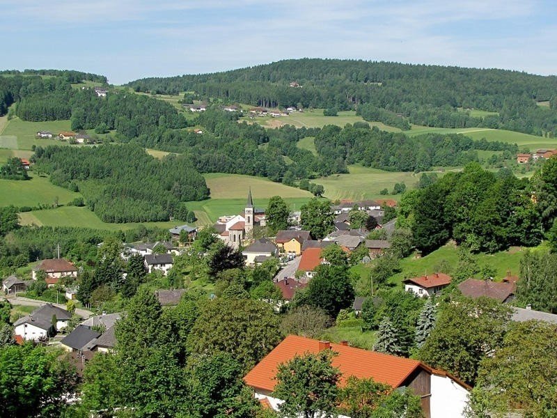
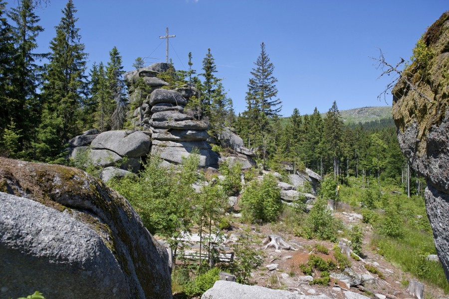
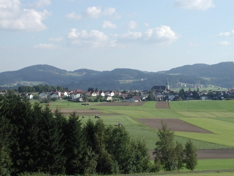
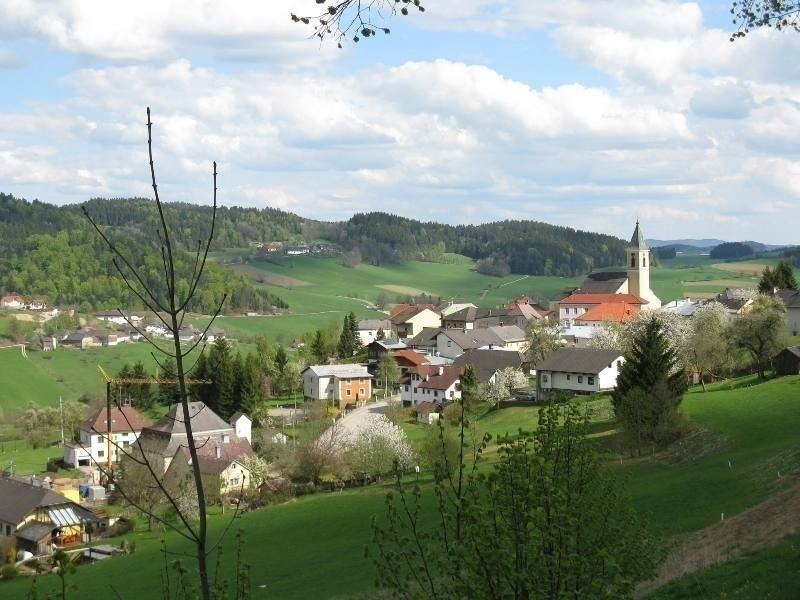
The 6-day variant of the Way of Deceleration takes you through the northern part of the mystical Bohemian Forest in the border triangle of Austria-Bavaria-Czech Republic. On the 16 to 20 kilometer long sections you will experience special attractions and great views up to almost 1,000 meters, even without extreme climbs.
- Section 1: Aigen-Schlägl - Haslach 18 km
- Section 2: Haslach - Helfenberg 20 km
- Section 3: Helfenberg - Rohrbach-Berg 20 km
- Section 4: Rohrbach-Berg - Peilstein 16 km
- Section 5: Peilstein - Kohlstatt 20 km
- Section 6: Kohlstatt - Aigen-Schlägl 20 km
Interesting facts
- With an overall length of 115 km the hike is among the 5 longest hikes in Austria available on TouriSpo.
- You're facing an uphill climb of 2570 vertical meters on this hike. This is quite much. You should be fit to do this track. This makes the hike one of the 15 hikes with the most ascent in Austria. The high point of the hike is located at an elevation of 880 m.
- Sturdy hiking boots are recommended on this track. There are places to buy beverages and food along the track. However it’s always recommended to bring enough water and food along with you.
Equipment
On this hike you should wear sturdy shoes and take something to drink with you.
Getting here

The starting point and destination of the hike is Schlägl in Upper Austria. From Linz it is about 50 kilometers. Just take the B127 and drive via Altenfelden and Rohrbach to Schlägl.
Coming from Germany you take the A3 to Passau and then drive on the B388 via Untergriesbach and Wegscheid to Austria. There you continue on the B38 via Peilstein in the Mühlviertel to Kimmerting, where you turn left onto the B127 and follow it to Schlägl.