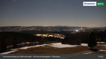
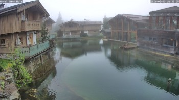
View of Schwarzenberg village in Upper Austria. Der Webcam is located at the base station of the chair lift.
15 minutes ago
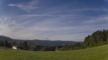
The panoramic camera offers a beautiful view over the village of Wegscheid in the Passau region near the Austrian border.
40 minutes ago
This webcam shows Schöneben near Ulrichsberg in Austria, a great spot to go hiking.
5 hours ago
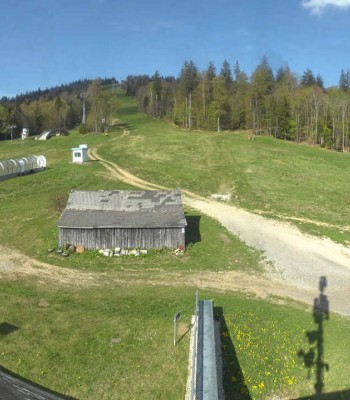
Webcam located at restaurant in ski resort Hochficht.
6 hours ago
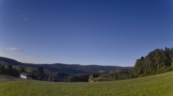
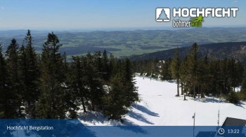
Bohemian Forest panorama from to Hochficht.
53 minutes ago
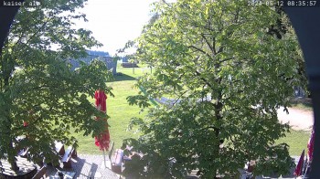
This webcam is located at Kaiseralm in Breitenberg in the southern Bavarian Forest.
4 hours ago
The webcam near the apartment Thieme opens up the view towards Knaus campsite.
1 hour ago
View towards the village Neureichenau in the holiday region Bavarian Forest.
8 hours ago
Here you can see Hotel INNs HOLZ in Schoeneben
41 minutes ago
Located at Gegenbach/Rasbüchl you can view direction Dreisessel mountain and Neureichenau
8 hours ago
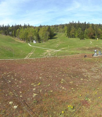
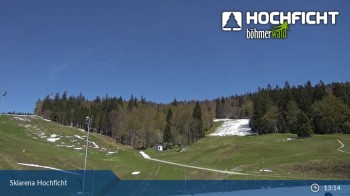
View from the Skiarena Hochficht to the Kids Park.
6 hours ago
View of the kids' park and a restaurant on Hochficht mountain in Upper Austria.
6 hours ago
View of Hochficht top station
5 minutes ago
 in the Bohemian Forest: Position on map")