in the Bohemian Forest: Position on map")

Route description

Recharge your batteries in 9 days on 165 km
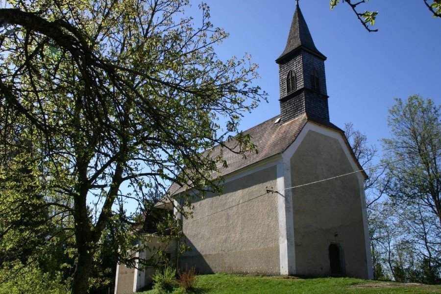
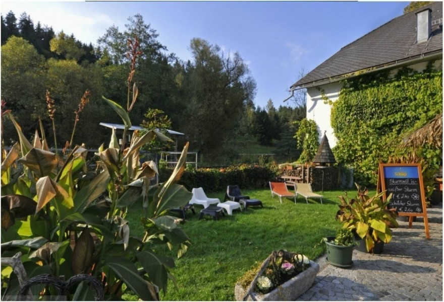
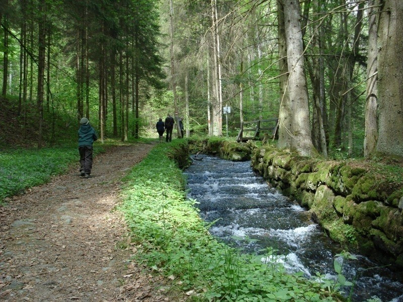
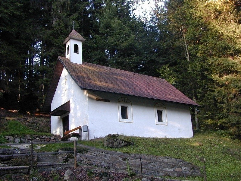
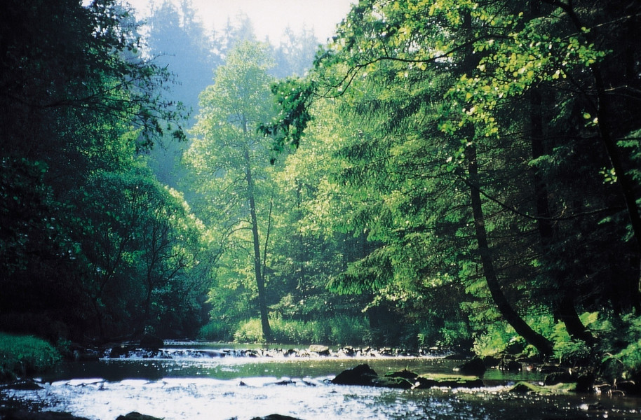
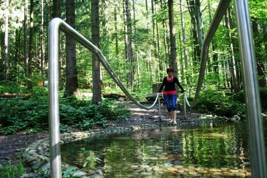
This circular hike takes you through the enchanting Bohemian Forest. Here, on the path of deceleration, you will find secluded places along the way that will do you good. The wonderful views and great impressions of the nature of the three-country region Austria-Bavaria-South Bohemia will certainly remain in your memory for a long time.
The longest of the multi-day hikes is also the most diverse: from the valleys of the Great, Small and Stony Mill up to the Bohemian Forest ridge, nature offers a lot of variety. Numerous special viewpoints await you along the way. A highlight is certainly the view from the highest point of the Bohemian Forest, the Plöckenstein with 1379 m. Here the hiker has a panoramic view over the 3 countries Austria, Bavaria and the Czech Republic. On the further way 6 summits with more than 1000m are waiting for you, until you arrive back at the starting point.
- Section 1: Aigen-Schlägl - Haslach 18 km
- Section 2: Haslach - Helfenberg 20 km
- Section 3: Helfenberg - Rohrbach-Berg 20 km
- Section 4: Rohrbach-Berg - Peilstein 16 km
- Section 5: Peilstein - Kohlstatt 20 km
- Section 6: Kohlstatt - Schwarzenberg 20 km
- Section 7: Schwarzenberg - Holzschlag 22 km
- Section 8: Holzschlag - Hintenberg 15 km
- Section 9: Hintenberg - Aigen-Schlägl, 14 km
Interesting facts
- With an overall length of 165 km the hike is currently the longest hike in Austria available on TouriSpo.
- You're facing an uphill climb of 4340 vertical meters on this hike. This is quite much. You should be fit to do this track. This makes the hike one of the 10 hikes with the most ascent in Austria. The high point of the hike is located at an elevation of 1,370 m.
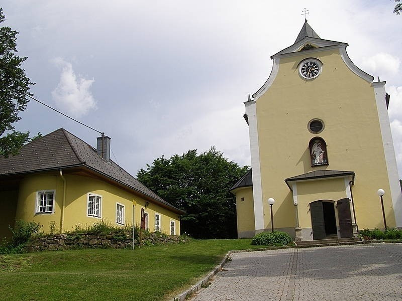
- Sturdy hiking boots are recommended on this track. If you get hungry along the way, there are places to rest and get food. Nevertheless it’s recommended to also have enough water and food in your backpack when hiking or biking.
Getting here
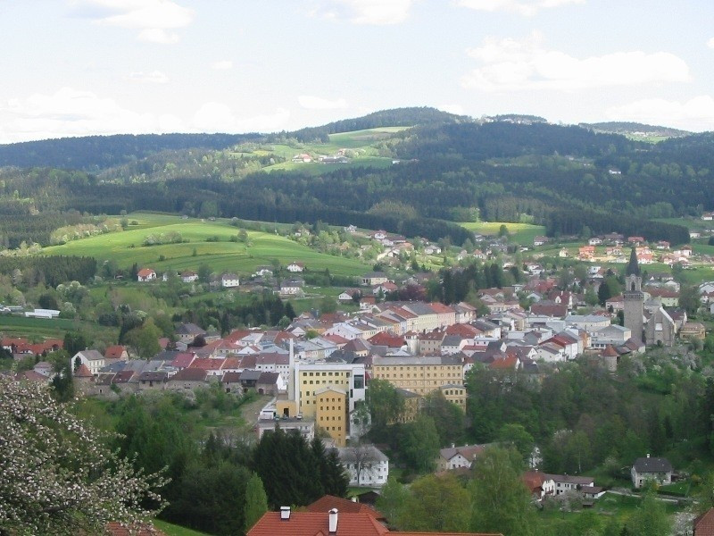
The tour starts and ends in Schlägl in Upper Austria. From Linz it is about 50 kilometers. You simply take the B127 and drive via Altenfelden and Rohrbach to Schlägl.
Coming from Germany you take the A3 to Passau and then drive on the B388 via Untergriesbach and Wegscheid to Austria. There you continue on the B38 via Peilstein in the Mühlviertel to Kimmerting, where you turn left onto the B127 and follow it to Schlägl.