Hike Rakiura Track, Stewart Island on Stewart Island: Position on map

Hike Rakiura Track, Stewart Island

Rakiura Track, Stewart Island

Elevation

Min: m
Max: 229 m
Uphill: 905 m
Downhill: 832 m
  • Upload GPS data
About the author
last update on 12 Sep 2016
Rate the Hike
0
(0)
Travel Deals & Tips
Advertisement
Advertisement
Advertisement
Facts
Difficulty
Easy
Distance: 29.84 km
Duration:3 days
Loop trail
Min: m
Max: 229 m
Uphill: 905 m
Downhill: 832 m

Trail characteristics

Dirt road
Forest track
Hiking trail

Webcams

Unfortunately, there is no webcam available yet!

Interesting facts

Read more
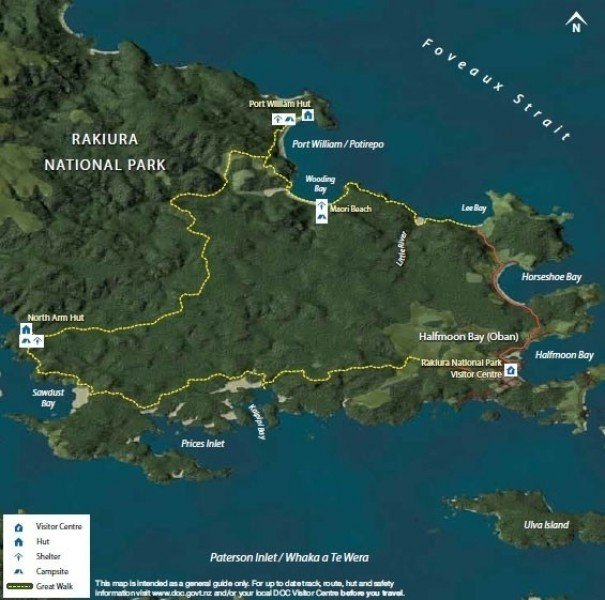
  • You're traveling a distance of 30 km on this easy trail. This makes it a relatively long hike. Average length of all hikes in Southland is 43 km.
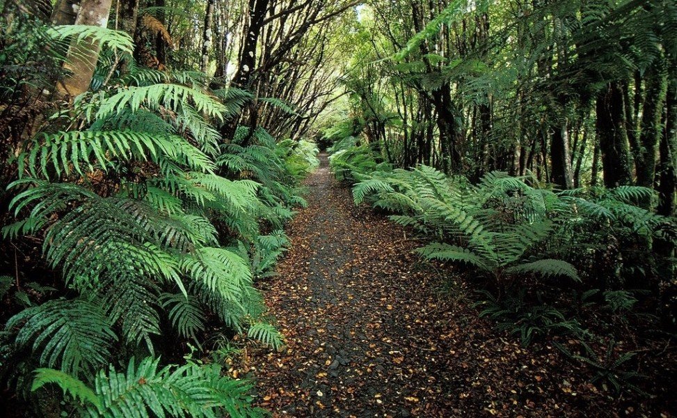
  • You shouldn’t forget to bring your hiking boots. There are some sections on the trail where sturdy footwear is required.

Contact

Rakiura National Park Visitor Centre
15 Main Road
Stewart Island
E-Mail
%73%74%65%77%61%72%74%69%73%6c%61%6e%64%40%64%6f%63%2e%67%6f%76%74%2e%6e%7a
Phone+64 3 219 0009
Fax+64 3 219 0003
Travel Deals & Tips
Advertisement

Comments

Rate the Hike
No posts available yet:
  • Nobody has posted on the wall of the Hike "Rakiura Track, Stewart Island" yet
  • Be the first to comment!
Login with Google+
  • Share your personal insider tip and create new entries
  • Explore fantastic outdoor destinations when and where you want
  • Find your dream destination or discover the world on the interactive map