Route description
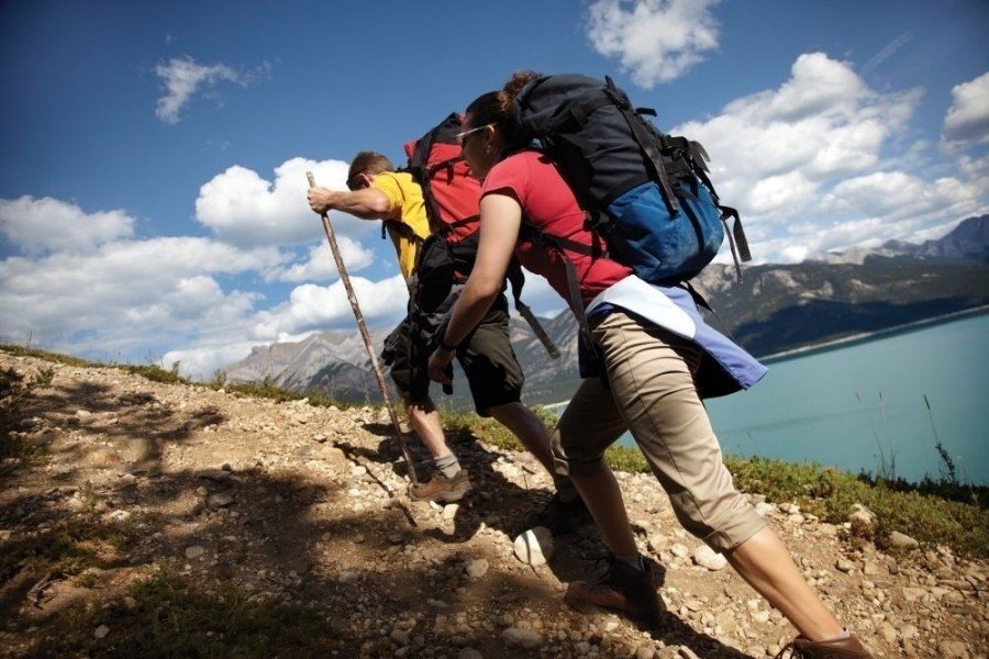
Steep start
Starting at Ribbon Creek Road parking first walk all the way to the end and passed the lavatories. Now hike slightly uphill until you reach a small hut, where you will also find a hiking map of the area. Close to the map there will be signs indicating Hidden Creek Hike, which you won't follow for this tour but keep walking uphill. First you'll be only slighty ascending but within the next 10km/6.2mi you'll be ascending not less than 600m.
Alongside the ski resort
Soon this trail will cross Troll Falls Trail, however simply keep straight and don't turn right. The second junction is a little confusing because of all the warning signs about the ski resort. Don't get confused simply turn right this time and make sure to hit the next Skogan Pass signpost in about 100m/328ft. On the left side you should be able to spot the descent down to the ski resort.
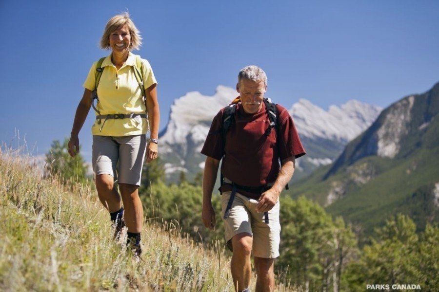
Enjoying the view
Following you'll cross some more trails, namely Marmot Basin Trail, Sunburst and High Level. To get to the junction with High Level Path you'll have to manage a very steep ascent, which gets a litter flatter after some time. Soon you'll hit Skogan Pass Loop, where you continue straight for about 2,4km/1.5mi and eventually get to an observation point.
Via the loop back to the start
After a short break, to enjoy the incredible view, continue hiking on Skogan Pass and after another 9km/5.6mi you'll hit Centennial Pass Trail. Again you'll find yourself on Skogan Pass Loop which you can walk once before you start walking back.
Interesting facts
- With an overall length of 22 km the hike is among the 5 longest hikes in Canada available on TouriSpo.
- Elevated between 2,063 m and 2,078 m, the hike is among the 5 highest elevated hikes in Canada. You're facing an uphill climb of 15 vertical meters on this hike. The track is therefore relatively flat.
- The trail is one of the dog friendly hikes in the region.
- You shouldn’t forget to bring your hiking boots. There are some sections on the trail where sturdy footwear is required.
Highlights of the tour
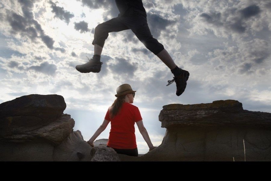
This tour is a very challenging one even for experienced hikers, therefore you might name the incredible steep ascent as one of the highlights of this tour.
Another highlight is the view across the surrounding area down from the pass, which you can enjoy during the whole tour.
Variations
On your way there as well as on your way back you may take a detour (1km/0,6mi) to Troll Falls. To do so simply follow the trail with the exact same name.
Equipment
You'll definitely need sturdy shoes for this challenging tour.
Getting here
By car:
Easiest way to get to the starting point of this tour is by car. First take highway 40 south for about 23km/14.3mi until you get to the crossing with highway 1. Turn right at Nakiska ski resort and keep left on Centennial Drive. Afterwards turn right onto Ribbon Creek Road and drive down to the last parking, located behind the hostel and the picnic area.