map of all hikes in Austria

Webcams for hikes in Austria

  • I don't care
    Easy
    Moderate
    Advanced
  • 0-100km
    0-72 h
Elevation: 2,356 m
View over Pitztal valley from mountain Sechszeiger.
25 minutes ago
Elevation: 2,100 m
Located at the mountain station Sommerberg you can see the surrounding mountain landscape.
17 °C
16 minutes ago
Elevation: 1,535 m
View from the Bio Schorta farm in the small village of Tschlin near Nauders.
17 °C
temporarily unavailable
Elevation: 1,871 m
View from Wiedersbergerhorn in Alpbachtal valley, Tyrol..
11 °C
20 minutes ago
Elevation: 1,739 m
25 °C
51 minutes ago
Elevation: 930 m
This webcam shows you the skiing area at Roggenboden.
24 °C
25 minutes ago
Elevation: 2,353 m
Here you look from the Rossmoos top station over the skiing area of "Bergbahnen See"
22 °C
50 minutes ago
Elevation: 1,229 m
Enjoy the panoramic view from the Kappakreuz near Tarrenz over Imst to the Kreuzjoch and the Samnaun Group.
21 °C
59 minutes ago
Elevation: 2,425 m
The webcam is located at the so-called Fuschertörl and looking towards the Grossglockner High Alpine Road.
1 hour ago
Elevation: 2,005 m
View from Hochzeiger mid station over the surrounding mountain-scape.
14 °C
25 minutes ago
Elevation: 572 m
Have a look at the lake Reintalersee.
13 °C
31 minutes ago
Elevation: 2,482 m
Enjoy the view of mountain station Zirmbahn
°C
29 minutes ago
Elevation: 1,010 m
Panoramic view of Liebenau from the winter sport arena.
16 °C
1 hour ago
Elevation: 1,850 m
View from the top station on Kreuzkogel over the surrounding mountains.
10 °C
27 minutes ago
Elevation: 241 m
View of golf course in Loipersdorf near Fürstenfeld, Styria.
22 °C
temporarily unavailable
Elevation: 1,010 m
Panoramic view of Liebenau from the winter sport arena.
16 °C
1 hour ago
Travel Deals & Tips
Advertisement

Hiking Through a Wonderful Country in the Alps

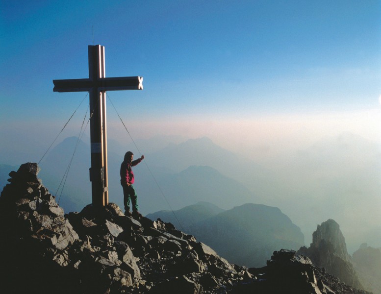
Austria is a true eldorado for hikers and mountaineers. Between Lake Constance and the town Semmering in Lower Austria, more than 950 three-thousand meter mountains are waiting to be discovered. With its 3,798 meters, the Großglockner is the highest in the Hohe Tauern mountain range and promises pure summit happiness for very ambitious hikers.

Amongst the top ten hiking routes worldwide is the Alpe-Adria-Trail, which brings you at a height of 750 kilometers from the Großglockner mountain to the Adriatic sea in Italy. On this hike you pass through the national park Hohe Tauern with impressive waterfalls and dreamlike landscapes.

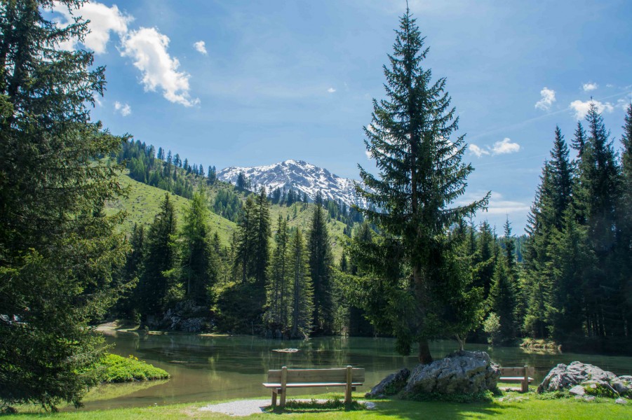
The alpine republic, however, has more to offer than high peaks. In Burgenland, heavenly tours lead through romantic vineyards, and in Salzkammergut you will be rewarded with crystal clear lakes, which offer a welcoming refreshment after your long hike.

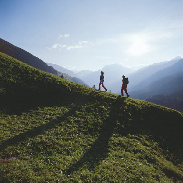
For leisure hikers, families with children or those who want to take it slowly, numerous mountain trails lead through the wonderful nature without many ascents, opening up stunning panoramas. If you are interested in exciting mountain adventures, you can choose from a variety of themed trails such as the Tauerngold adventure trail or the Holzweg in the Zillertal valley.

    Travel Deals & Tips
    Advertisement
    Advertisement
    Advertisement
    Travel Deals & Tips
    Advertisement
    Login with Google+
    • Share your personal insider tip and create new entries
    • Explore fantastic outdoor destinations when and where you want
    • Find your dream destination or discover the world on the interactive map