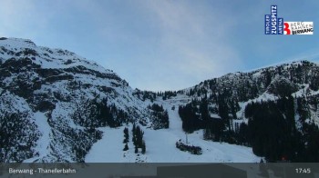
View towards Thaneller Chair Lift in Berwang ski resort.
1 hour ago
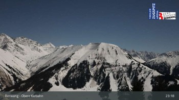
View from Upper Karbahn in Berwang, Tyrol.
53 minutes ago
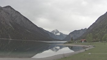
Have a look at the Musteralpe in the austrian Region Reutte in Tyrol. Spot the Plansee in the background.
16 minutes ago
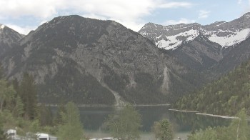
The webcam shows Lake Plansee in the holiday region Tyrol from the west part of the lake.
16 minutes ago
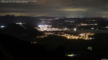
Enjoy the view of Tegelberghaus mountain hut over the eastern Allgäu. You can see the town of Füssen and Schwangau as well as lake Forggensee.
11 minutes ago
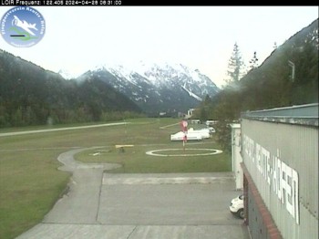
Here you can see the view from the airport in Reutte-Hoefen in Tyrol, Austria.
10 minutes ago
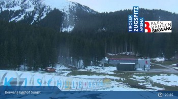
Have a look at the chair lift Egghof Sunjet as well as the area around Hochalm in Bergwang.
3 hours ago
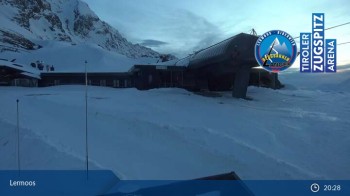
Here you can enjoy the view from the top station of Grubig II gondola in Lermoos.
1 hour ago
From the top station of Sonnalmbahn you can look into the valley of Berwang.
1 hour ago
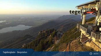
View over the Schwangau-Füssen region (top station Tegelbergbahn).
1 hour ago