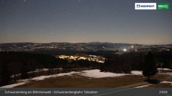
View of Schwarzenberg village in Upper Austria. Der Webcam is located at the base station of the chair lift.
20 minutes ago
The panoramic camera offers a beautiful view over the village of Wegscheid in the Passau region near the Austrian border.
31 minutes ago
This webcam shows Schöneben near Ulrichsberg in Austria, a great spot to go hiking.
11 minutes ago
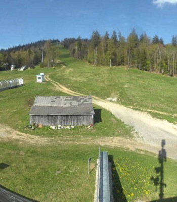
Webcam located at restaurant in ski resort Hochficht.
38 minutes ago
Bohemian Forest panorama from to Hochficht.
33 minutes ago
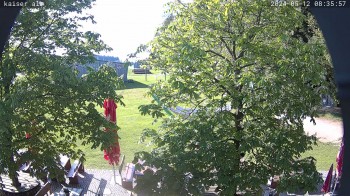
This webcam is located at Kaiseralm in Breitenberg in the southern Bavarian Forest.
30 minutes ago
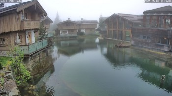
The webcam near the apartment Thieme opens up the view towards Knaus campsite.
29 minutes ago
Here you can see Altreichenau. A village in the Bayarian Forest.
temporarily unavailable
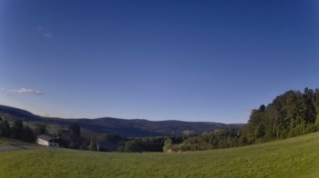
View towards the village Neureichenau in the holiday region Bavarian Forest.
2 hours ago
Here you can see Hotel INNs HOLZ in Schoeneben
31 minutes ago
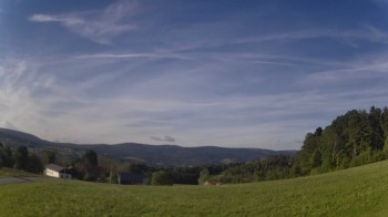
Located at Gegenbach/Rasbüchl you can view direction Dreisessel mountain and Neureichenau
2 hours ago
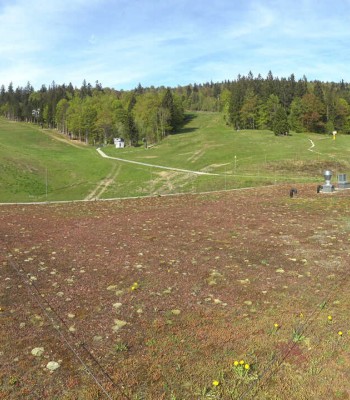
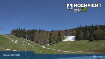
View from the Skiarena Hochficht to the Kids Park.
29 minutes ago
View of the kids' park and a restaurant on Hochficht mountain in Upper Austria.
29 minutes ago
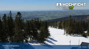
View of Hochficht top station
1 minute ago
 in the Bohemian Forest: Position on map")