Hike Stone Pine Hike at Graukogel in the Gasteinertal: Position on map

Webcams around the Stone Pine Hike at Graukogel (Gasteinertal)

Stone Pine Hike at Graukogel
Advertisement
Waterfall in Bad Gastein
Elevation: 1,028 m
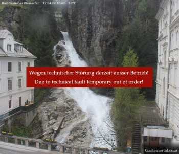
View of the waterfall in Bad Gastein, a village in the mountains near Salzburg.
38 minutes ago
Stubnerkogel Top Station South
Elevation: 2,212 m
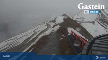
This webcam overlooks the moutain-scape of Bad Gastein from the south side of Stubnerkogel's top station.
20 minutes ago
Hotel Schillerhof in Bad Gastein
Elevation: 1,036 m
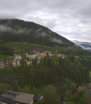
Enjoy the view from the Hotel Schillerhof in Bad Gastein in the Gastein Valley.
53 minutes ago
Bad Gastein - Snowpark Stubnerkogel
Elevation: 1,792 m
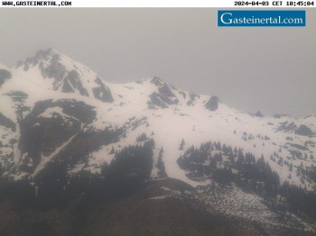
View of Snowpark Stubnerkogel in Bad Gastein.
6 minutes ago
Bad Gastein - Stubnerkogel
Elevation: 2,164 m
Panoramic view from the top station of Stubnerkogel mountain near Bad Gastein.
6 minutes ago
Bad Gastein Stubnerkogel
Elevation: 2,163 m
'Bad Gastein' at 'Stubnerkogel'
temporarily unavailable

Webcam is Missing

A webcam is missing? Do you know the source of another one?

All Webcams on the map

Webcam Information

  • There are 6 webcams dotted around the Stone Pine Hike at Graukogel. The webcams fall into three groups, namely 3 live streaming webcams, one panoramic webcam und 2 further webcams.
  • The highest webcam (Stubnerkogel Top Station South) is located at an altitude of 2212 metres, while the lowest one (Waterfall in Bad Gastein) is situated at an altitude of 1028 metres.
  • Most visited/viewed webcam: Waterfall in Bad Gastein
Travel Deals & Tips
Advertisement
Advertisement
Advertisement
Login with Google+
  • Share your personal insider tip and create new entries
  • Explore fantastic outdoor destinations when and where you want
  • Find your dream destination or discover the world on the interactive map