Bike Trail Bike Tour Hochfeldernalm - Ehrwalderalm in the Region Seefeld: Position on map

Bike Tour Hochfeldernalm - Ehrwalderalm

Bike Tour Hochfeldernalm - Ehrwalderalm

Elevation

Min: 1,240 m
Max: 1,734 m
Uphill: 671 m
Downhill: 622 m
  • Upload GPS data
About the author
last update on 16 May 2022
Rate the Bike Trail
2
(1)
Travel Deals & Tips
Advertisement
Advertisement
Advertisement

Facts

Difficulty
Advanced
Distance: 24.36 km
Duration:2 h
Loop trail
Min: 1,240 m
Max: 1,734 m
Uphill: 671 m
Downhill: 622 m

Best Season

Suitable for

Mountainbike
Trekkingbike

Interesting facts

Read more
  • You're traveling a distance of 24 km on this strenuous trail. Average length of all bike Trails in Tyrol is 35 km.
  • Elevated between 1,240 m and 1,734 m, the bike trail is among the 10 highest elevated bike Trails in Tyrol. You're facing an uphill climb of 671 vertical meters on this bike trail.
  • You can easily take your dog on this trail.
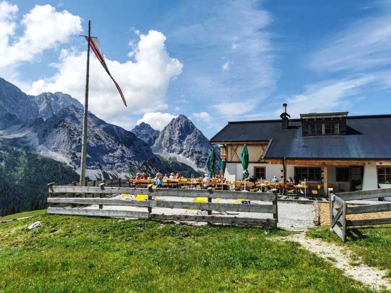
  • If you get hungry along the way, there are places to rest and get food. Nevertheless it’s recommended to also have enough water and food in your backpack when hiking or biking.

Contact

Region Seefeld - Informationsbüro Leutasch
Kirchplatzl 128a
6105
Leutasch
E-Mail
%69%6e%66%6f%2e%6c%65%75%74%61%73%63%68%40%73%65%65%66%65%6c%64%2e%63%6f%6d
+43 50880510
Travel Deals & Tips
Advertisement

Comments

Rate the Bike Trail
No posts available yet:
  • Nobody has posted on the wall of the Bike Trail "Bike Tour Hochfeldernalm - Ehrwalderalm" yet
  • Be the first to comment!
Login with Google+
  • Share your personal insider tip and create new entries
  • Explore fantastic outdoor destinations when and where you want
  • Find your dream destination or discover the world on the interactive map