

Route description
Challenging tour
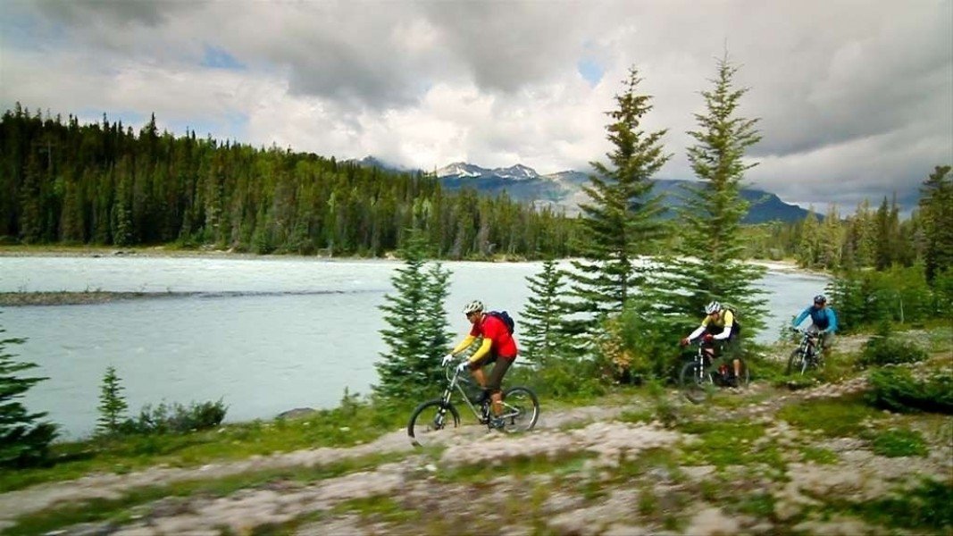
Rundle Riverside bike trail is made for advanced riders. Starting in Canmore you will first bike through impressiv landscape however you'll soon realize how the trail leading across roots and rocks isn't an easy one. The tour isn't infact very steep but demands a certain level of biking skills that only advanced riders have. However if you love a good challenge this is exactly your kind of trail.
Alongside the river
Following the signposts out of Canmore Nordic Centre's Provincial Park you'll soon get to see Bow River. Continue alongside the river until the trail as well as the river make a sharp right turn. Keep following the trail and it'll get you onto Golf Course Road.
Towards Banff
Soon you'll reach a golf course, which you pass and cross bow river to get onto Bow River Avenue. Afterwards you'll bike passed Bow Falls right onto Rundle Avenue and the final destination of your tour.
Where to eat
There are no places to get food along the way however in Banff and also in Canmore there is enough to choose from.
Interesting facts
- You're traveling a distance of 8 km on this strenuous trail. The bike trail is therefore not too long. Average length of all bike Trails in Alberta is 17 km.
- You're facing an uphill climb of 40 vertical meters on this bike trail. The track is therefore relatively flat. The high point of the bike trail is located at an elevation of 1,376 m.
Highlights of the tour
This tour is ideal for bikers who love to be challenged. This tour is a perfect mix of beautiful landscape and difficult routing.
Video
Variations
You may start the tour in Banff also.
Getting here
You have to options to start the bike trail. One is Banff and the other one is Canmore.
By car:
To get to Banff and also Canmore take the trans-canada highway 1. The two starting points are also accessible via that highway starting in Calgary, which is a one hour drive away from Canmore.
By plane:
The closest airport is Calgary International Airport from where a shuttle bus drives you directly to Canmore.
In Canmore itself drive towards Canmore Nordic Centre and further to Banff trail. At the end of this bike trail starts the actual tour on Rundle Riverside.
Starting in Banff first take Banff Avenue and continue until you reach Spray Avenue. Afterwards turn left onto Bow Falls Drive and continue until you get to Golf Course Road on which you stay for about 4km until you reach the starting point of the tour.