Hike Dublin Mountains Way in Dublin: Position on map

Hike Dublin Mountains Way

Dublin Mountains Way

Elevation

Min: 32 m
Max: 531 m
Uphill: 1,150 m
Downhill: 900 m
  • Upload GPS data
About the author
last update on 23 Jul 2019
Rate the Hike
0
(1)
Travel Deals & Tips
Advertisement
Advertisement
Advertisement
Facts
Difficulty
Moderate
Distance: 42 km
Duration:2 days
Min: 32 m
Max: 531 m
Uphill: 1,150 m
Downhill: 900 m

Trail characteristics

Asphalt
Dirt road
Forest track
Hiking trail

Webcams

Unfortunately, there is no webcam available yet!

Where to eat

Enjoy Irish delicacies at the famous Johnnie Fox's Pub.
CC BY-SA 3.0   Joe King Enjoy Irish delicacies at the famous Johnnie Fox's Pub.

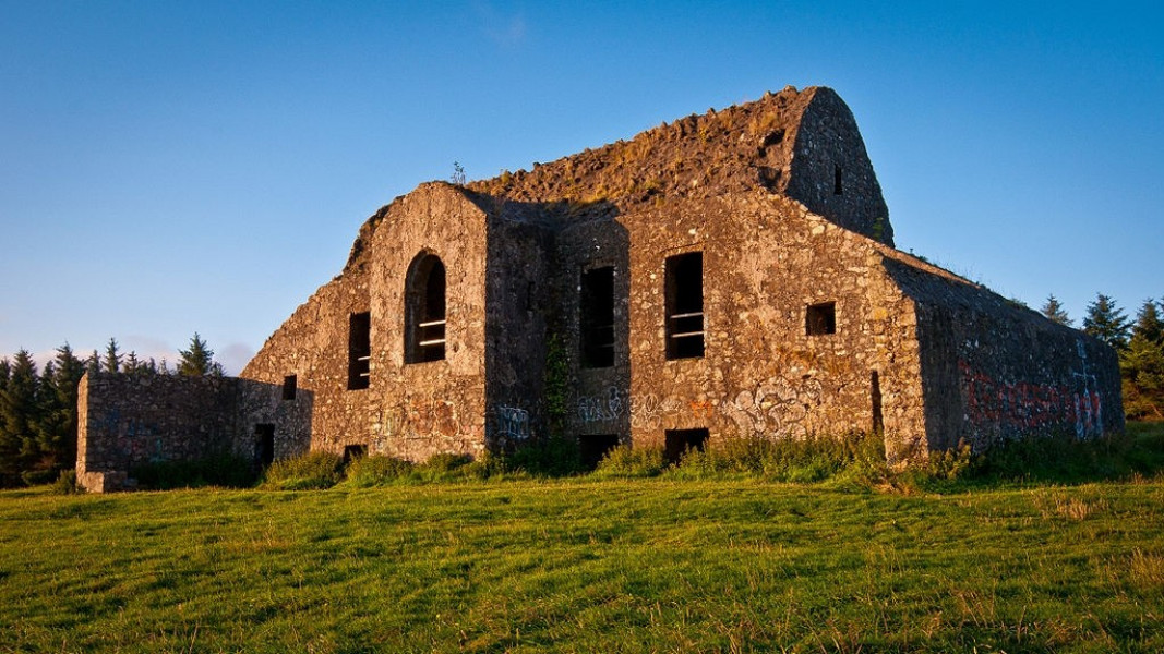
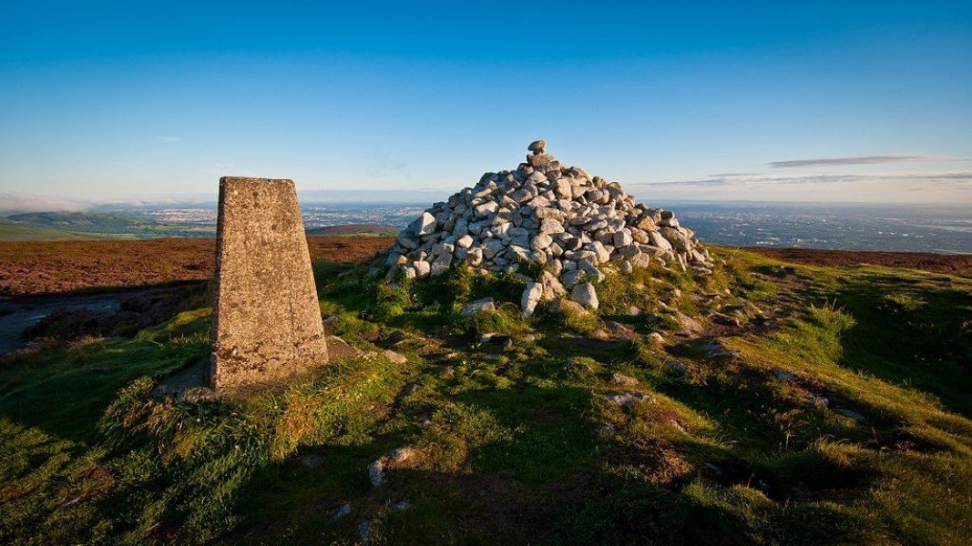
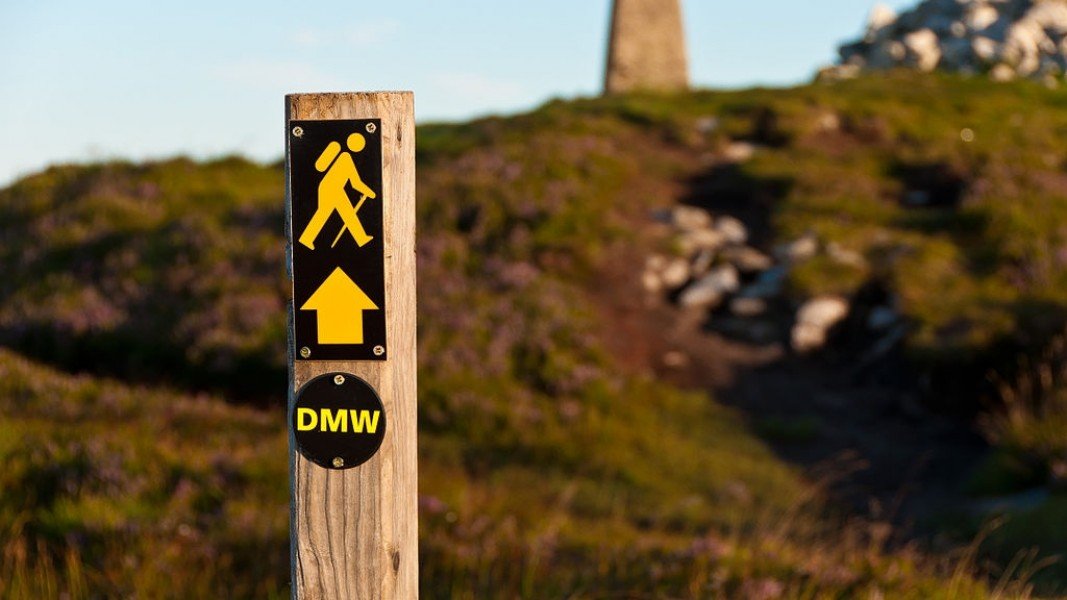
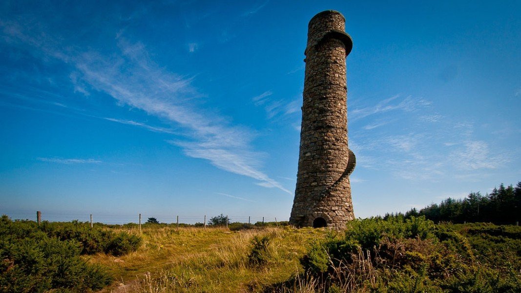
Dublin Mountains Way is a long-distance hiking trail, traditionally walked from East to West, leading through the beautiful Wicklow Mountains. The path is characterised by idyllic forests and prehistoric ruins. The trail is very well signposted.


  • Stage 1: Shankill - Threerock
  • Stage 2: Threerock - Hell Fire
  • Stage 3: Hell Fire - Tallaght

Interesting facts

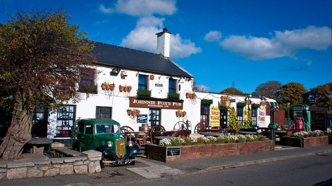
  • Make sure to bring sturdy footwear on this track. Hiking boots are highly recommended. There are places to buy beverages and food along the track. However it’s always recommended to bring enough water and food along with you.

Video

Dublin Mountains Way ???? Quiet City... | 18:01

Contact

Dublin Mountains Partnership
Dublin Road; Newtownmountkennedy
Co. Wicklow
E-Mail
%69%6e%66%6f%40%64%75%62%6c%69%6e%6d%6f%75%6e%74%61%69%6e%73%2e%69%65
+353 01 2011187
Travel Deals & Tips
Advertisement

Comments

Rate the Hike
No posts available yet:
  • Nobody has posted on the wall of the Hike "Dublin Mountains Way" yet
  • Be the first to comment!
Login with Google+
  • Share your personal insider tip and create new entries
  • Explore fantastic outdoor destinations when and where you want
  • Find your dream destination or discover the world on the interactive map