Route description
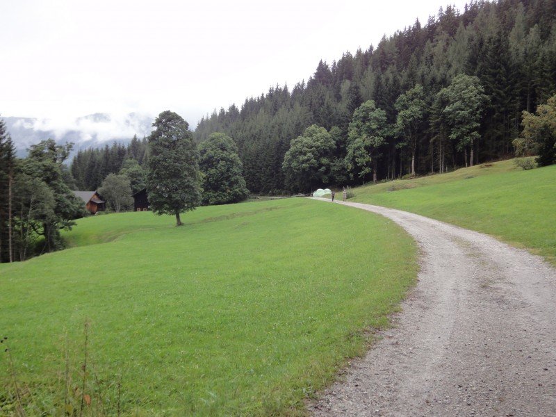
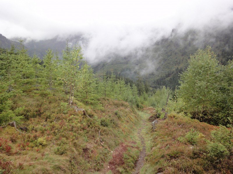
This hike starts at Pirklalm at the top of Hüttendorf Pruggern (the cabin village above Pruggern). Start the hike by following the hiking path No 100 westwards. This trail is relatively flat and leads you through the forest to beautiful, small alps. From time to time the forest thins out and you can enjoy the panormic view across Ennstal to Dachstein mountain (2995m), the highest mountain of Styria. Make sure to not miss the branch-off to path No 25 to Luitpoldhof.
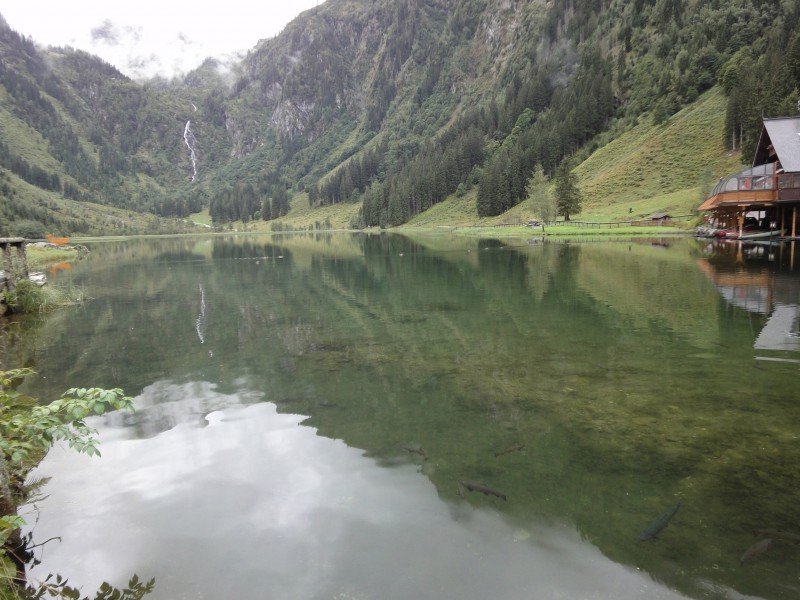
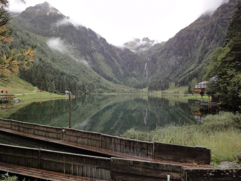
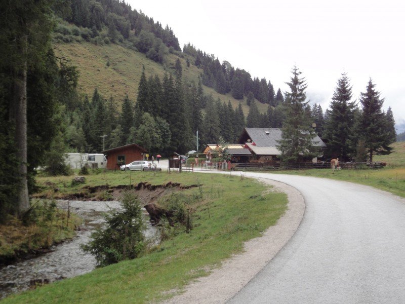
After passing Luitpoldhof, the path narrows until you reach another asphalt road after Seewigtalhütte. Follow this road to the left until you reach lake "Steirischer Bodensee".
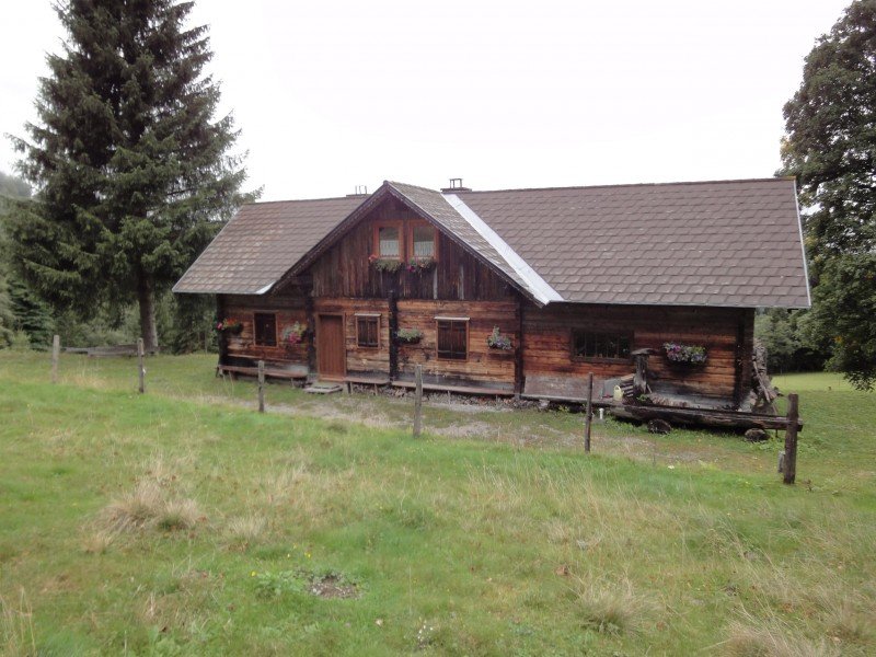
When you arrive at the lake, you have the choice between two restaurants. "Forellenhof" serves fresh trouts and offers a nice patio where you can enjoy the view across the little lake.
In 2012 Lake "Steirischer Bodensee" was rewarded being the second-most beautiful place in Styria.
Interesting facts
- You're traveling a distance of 7 km on this easy trail. The hike is therefore not too long. Average length of all hikes in Styria is 15 km.
- You're facing an uphill climb of 603 vertical meters on this hike. The highest point of the track is 1,353 m above sea level.
- Don’t hesitate to take your kids along on this easy hikes. The hike is also perfect if the kid’s wanna bring their dog on the trip. (See all dog friendly hikes in Styria.)
- Hiking boots are not required, but the hike might be more enjoyable with sturdy footwear (especially in wet conditions). If you get hungry along the way, there are places to rest and get food. Nevertheless it’s recommended to also have enough water and food in your backpack when hiking or biking.
Variations
If you're looking for a more demanding hike, you can continue to Hochwildstelle (2747m) or to Höchstein mountain (2543m)
Getting here
By car
Pruggern can be best reached via the Tauernautobahn A10. Leave the autobahn at exit Radstadt and follow the B320 (Ennstalbundesstraße) until Pruggern. If you're coming from the east, the Phyrn Autobahn A9 is the best way to travel. Leave the A9 at exit Liezen and follow the B320 until Pruggern. Follow the signs to "Hüttendorf Pruggern".