Hike From Horstigweg to Friedenskircherl at Stoderzinken in Schladming-Dachstein: Position on map

Hike From Horstigweg to Friedenskircherl at Stoderzinken

From Horstigweg to Friedenskircherl at...

Elevation

Min: 1,717 m
Max: 1,904 m
Uphill: 284 m
Downhill: 137 m
  • Upload GPS data
About the author
last update on 12 Sep 2016
Rate the Hike
0
(0)
Travel Deals & Tips
Advertisement
Advertisement
Advertisement
Facts
Difficulty
Easy
Distance: 3.20 km
Duration:1 h 30 min
Min: 1,717 m
Max: 1,904 m
Uphill: 284 m
Downhill: 137 m

Trail characteristics

Hiking trail

Interesting facts

Read more
  • You're traveling a distance of 3 km on this easy trail. The hike is therefore not too long. The average length of all hikes in Styria is 15 km.
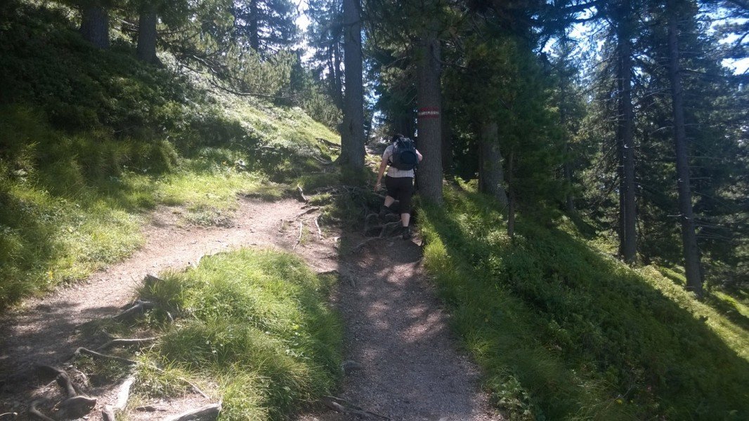
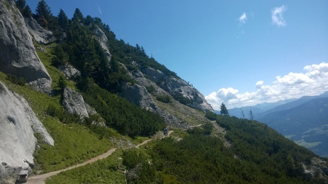
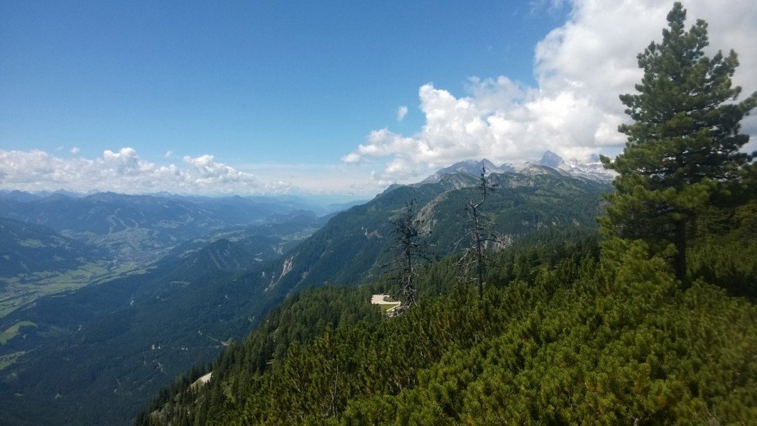
  • You're facing an uphill climb of 284 vertical meters on this hike. The high point of the hike is located at an elevation of 1,904 m.
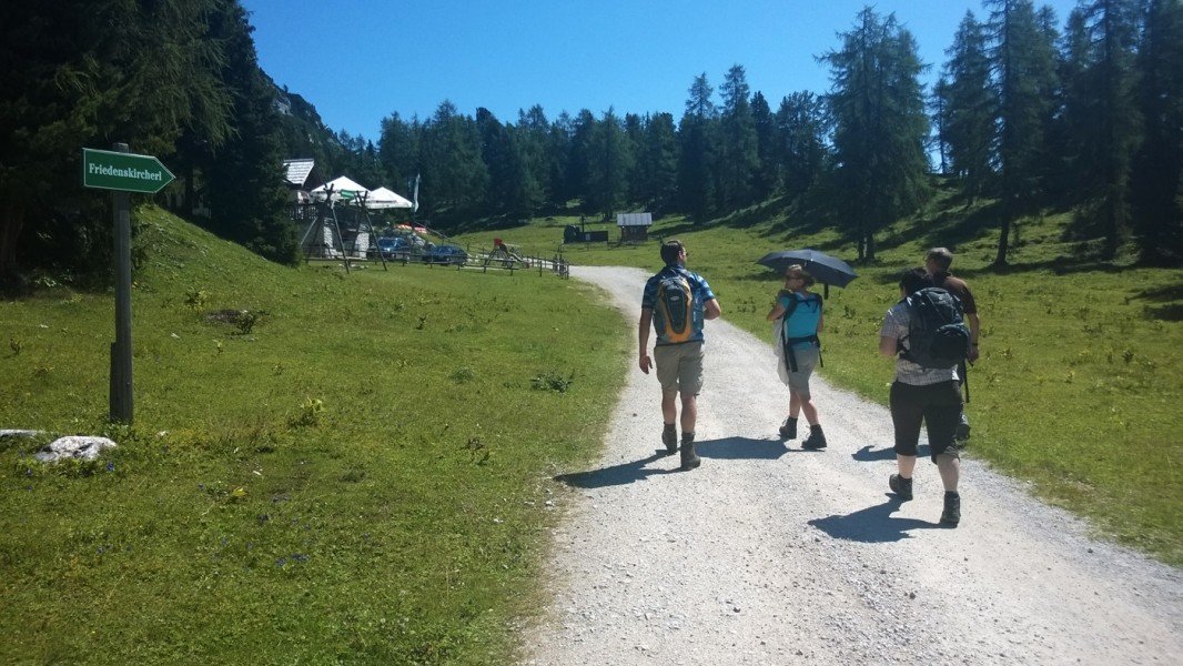
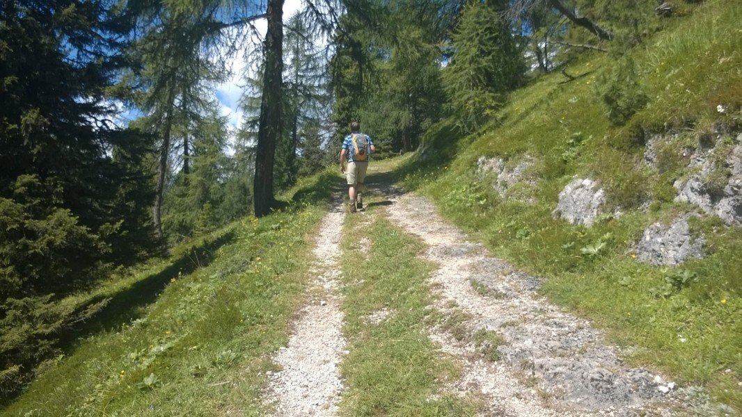
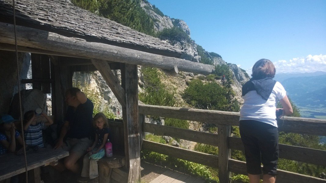
  • This easy hike is perfect for the whole family.
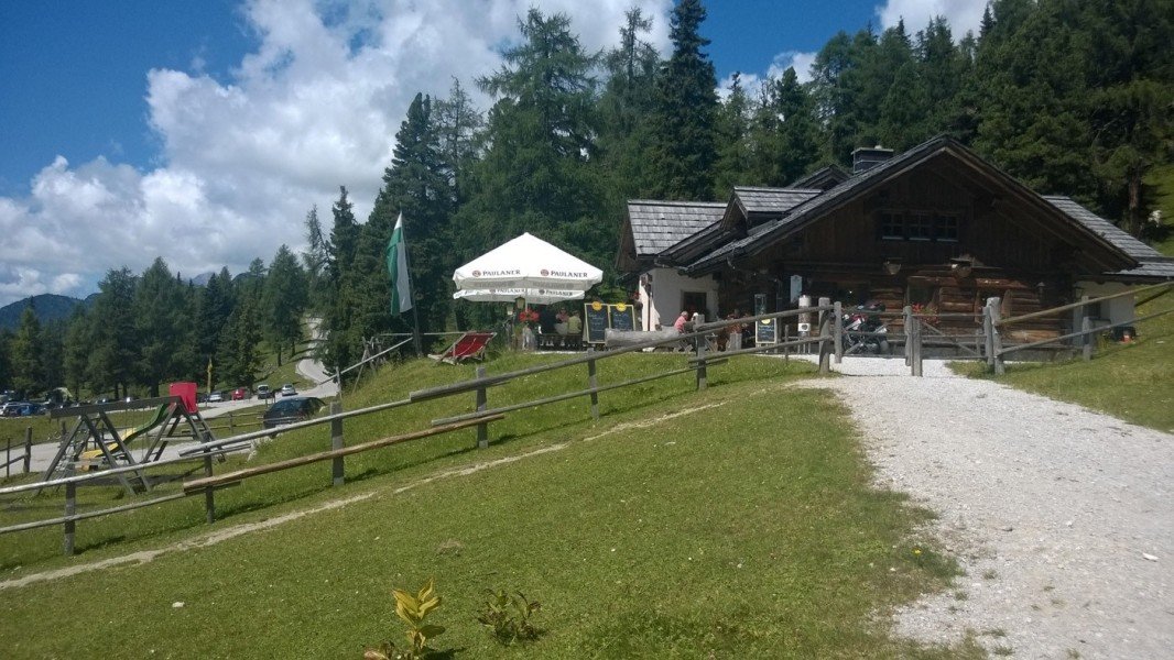
  • Sturdy hiking boots are recommended on this track. There are places to buy beverages and food along the track. However it’s always recommended to bring enough water and food along with you.

Contact

Schladming-Dachstein Tourismusmarketing GmbH
Ramsauerstraße 756
A-8970
Schladming
E-Mail
%69%6e%66%6f%40%73%63%68%6c%61%64%6d%69%6e%67%2d%64%61%63%68%73%74%65%69%6e%2e%61%74
Phone+43 (0) 3687 23310
Fax+43 (0) 3687 23232
Travel Deals & Tips
Advertisement

Comments

Rate the Hike
No posts available yet:
  • Nobody has posted on the wall of the Hike "From Horstigweg to Friedenskircherl at Stoderzinken" yet
  • Be the first to comment!
Login with Google+
  • Share your personal insider tip and create new entries
  • Explore fantastic outdoor destinations when and where you want
  • Find your dream destination or discover the world on the interactive map