up to Schladminger Törl and Lafenberg mountain in Schladming-Dachstein: Position on map")


Route description
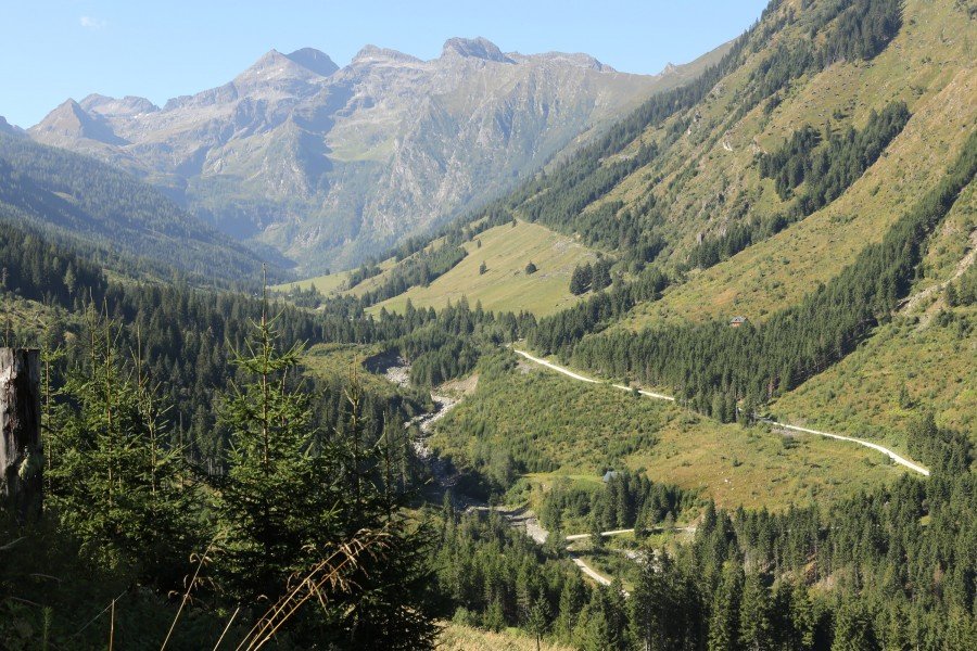
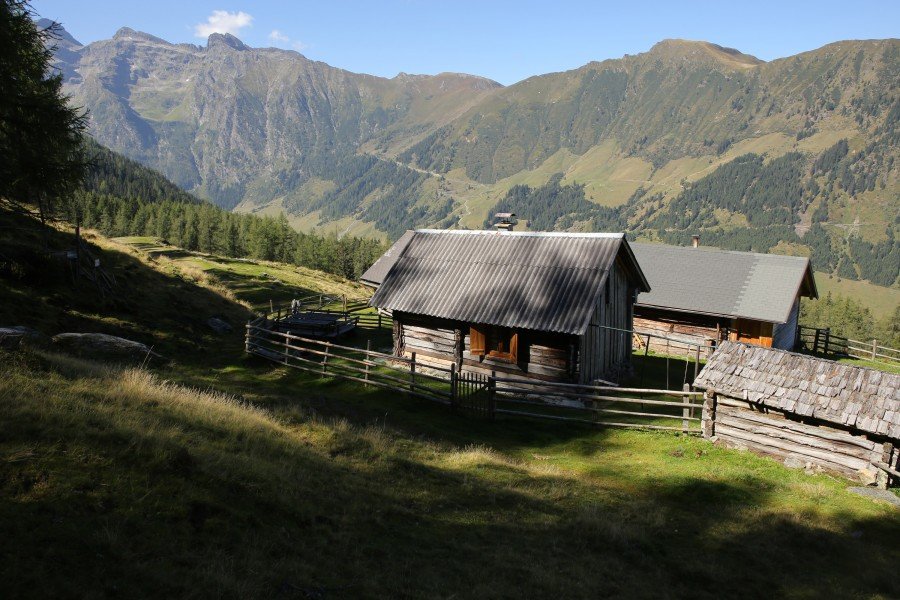
This hike starts right at the top of Hüttendorf Pruggern. You'll find a huge board showing you all the hikes in the area. To start this hike just follow the tarred road downhill for 200 meters. Turn right into Strausserweg. Now follow the red-white-red check marks on hiking path no. 101. It takes at around 2.5 or 3 hours until you reach the alp "Schladminger Alm". Make sure to bring enough food as you cannot buy any food on this hike. Schladminger Alm is a great place to stop and enjoy the view across Ennstal valley. During summer changes are good to maybe meet mountain farmers at the cabins of Schladminger Alm.
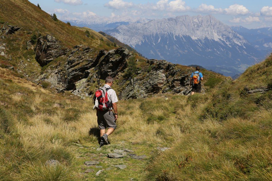
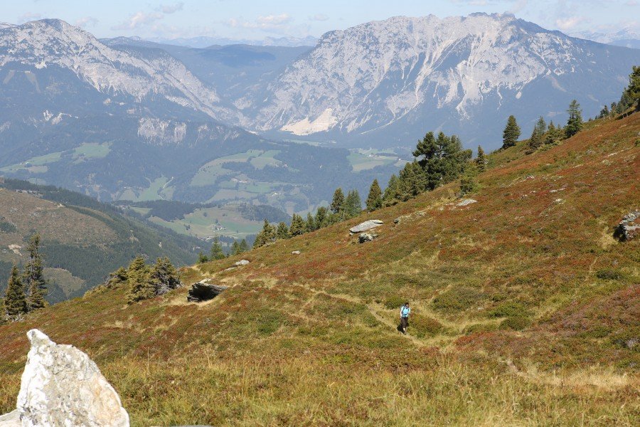
From Schladminger Alm just follow the signs to Schladminger Törl, which you should reach within another 45 minutes after a pretty steep climb. Don't miss the great view of Ennstal and Dachstein mountain (2995m) to the north-west and the lower mountains of "Kaltenbacher Wald" (Kaltenbach forest) in the east.
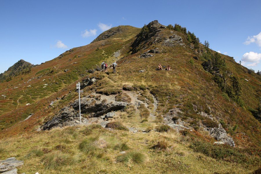
Now get ready for the most beautiful part of the hike and follow the trail to the north heading to Kochofen mountain. The trail follows the ridge for about 2km. After passing Lafenberg (2042m) signs are directing you downhill, back to Schladminger Alm. Follow the know trail back from Schladminger Alm to Hüttendorf Pruggern.
Interesting facts
- With an overall length of 19 km the hike is among the 3 longest hikes in Styria available on TouriSpo.
- Elevated between 1,178 m and 1,992 m, the hike is among the 10 highest elevated hikes in Styria. You're facing an uphill climb of 1182 vertical meters on this hike. This makes the hike one of the 3 hikes with the most ascent in Styria.
- Make sure to bring sturdy footwear on this track. Hiking boots are highly recommended.
Highlights of the tour
The best part is the hike along the mountain ridge between Schladminger Törl and Lafenberg mountain (2042m)
Variations
Alternative A:
If you wanna avoid the pretty steep return from Lafenberg to Schladminger Alm, you can take the same path back from Schladminger Törl to Schladminger Alm which you already used uphill.
Alternative B:
For all athletic hikers I'd recommend to continue to Spateck mountain (2256m) which is also signposted at Schladminger Törl
Equipment
Sturdy shoes
Getting here
If you travel from Salzburg, leave the Tauernautobahn A10 at Radstadt and follow B320 until Pruggern. Hüttendorf Pruggern is signposted. Follow the winding road until you see all the nice mountain cabins.