in Schladming-Dachstein: Position on map")
Route description
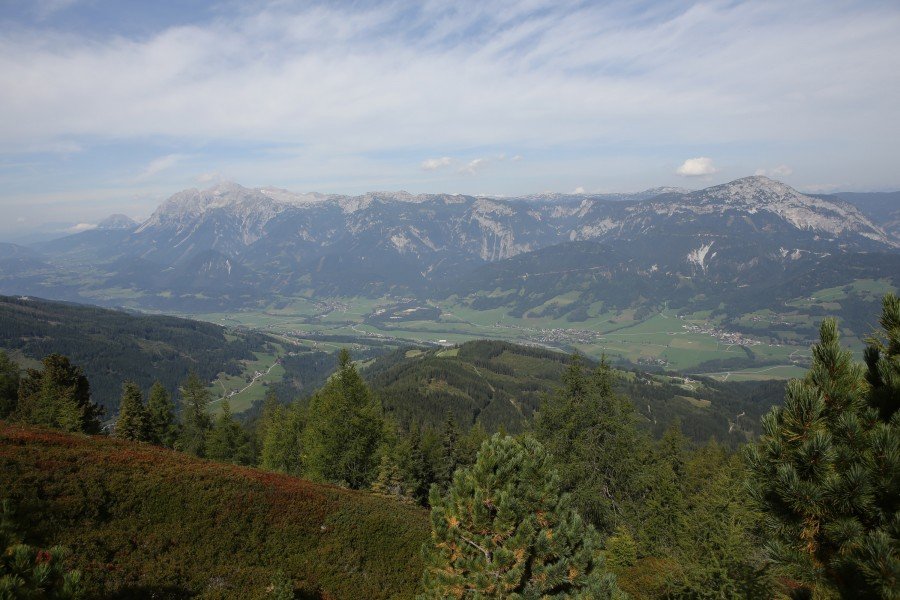
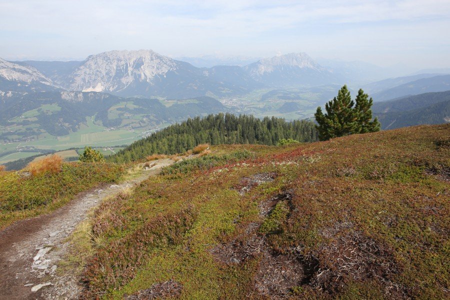
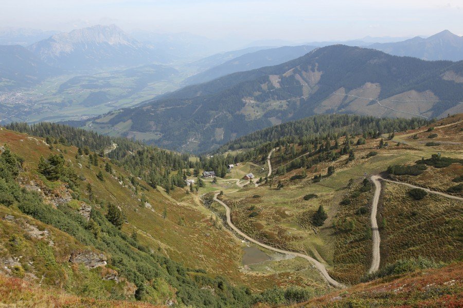
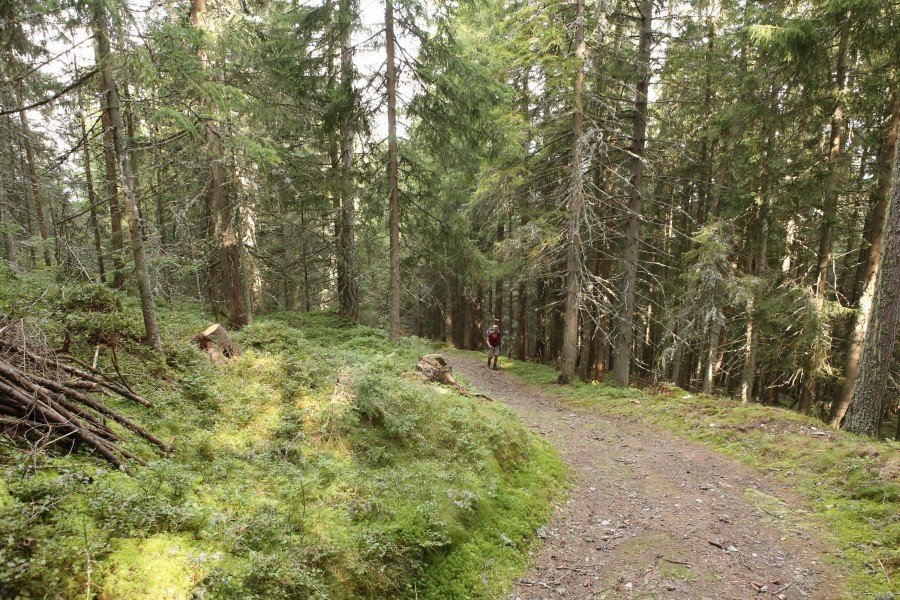
At the top of the Cabin Village (Hüttendorf Pruggern) you can find a board showing all hikes in the region (of course also including this trail). So it's not a bad idea to maybe take a photo of this board with your camera or smartphone. You then already have a hiking map in your pocket. The hike up to Pleschnitzzinken starts pretty steep on hiking path No783 through the forests above Pruggern. Continue on this path until you reach Bottinghaus. During winter skiers are served warm meals and beverages at Bottinghaus. During summer, hikers need to continue until they reach Galsterbergalm to get some food.
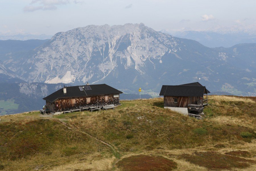
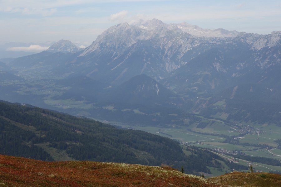
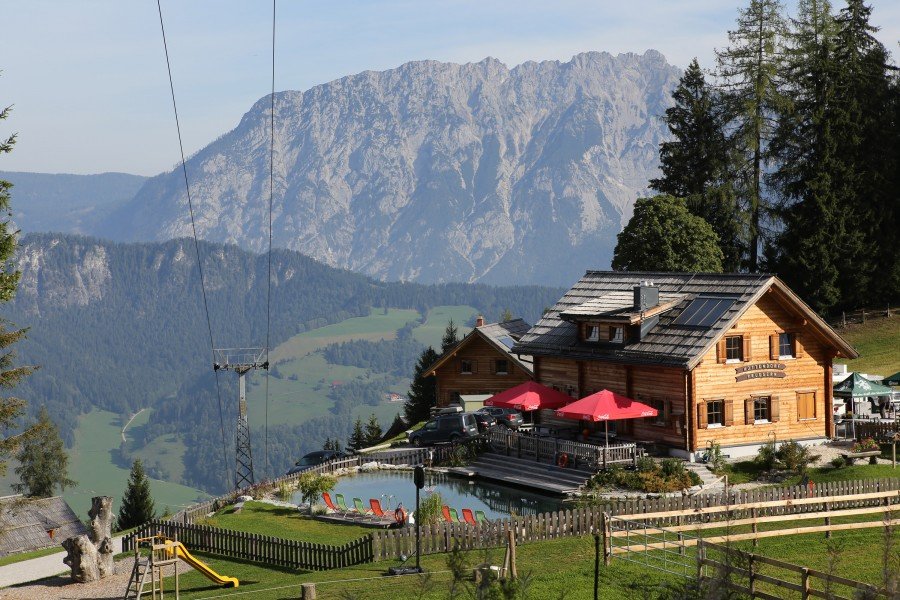
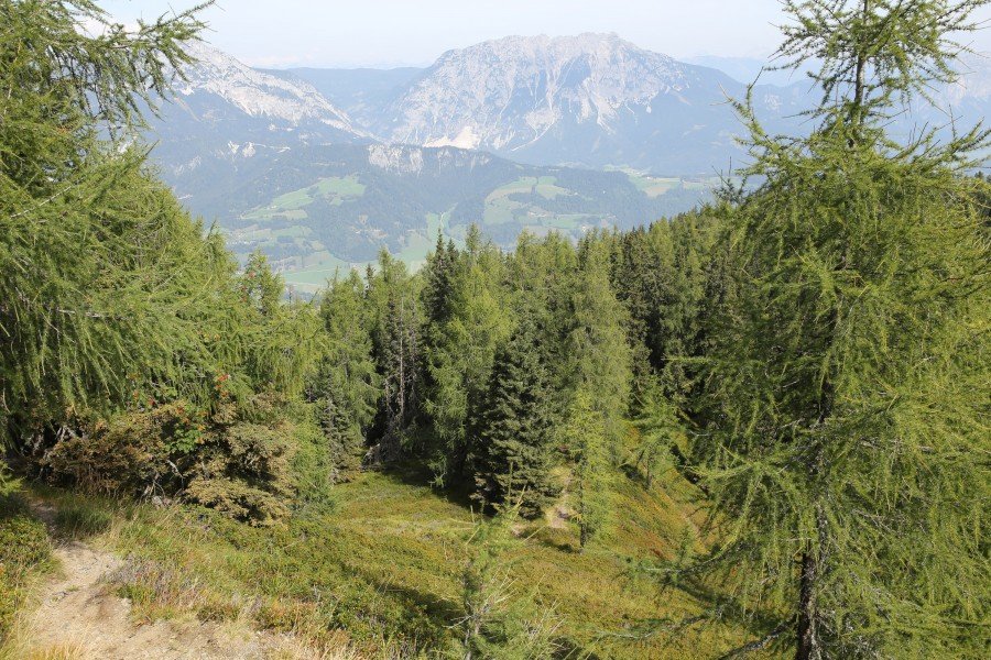
At Bottinghaus we decided to follow the path 783 until we reached the mountain hut Pleschnitzzinken-Hütte at an elevation of 1911m. If you're already hungry you're better off following the signs to Galsterbergalm to get fresh beer :-) If you decide to climb up to Pleschnitzzinken-Hütte you should definitely take a break there and enjoy the view across Ennstal (Enns valley) to Dachstein mountain (29995m) which is the highest mountain of Styria.
It takes another 30 minutes to reach Pleschnitzzinken from Pleschnitzzinken-Hütte. For the descent, we decided to go down on the east-face of Pleschnitzzinken. This path takes you right down to Galsterbergalm where they serve coffee and regional delicacies.
Interesting facts
- With an overall length of 11 km the hike is among the 10 longest hikes in Styria available on TouriSpo.
- From Hüttendorf Pruggern to Pleschnitzzinken (2112m) is among the 10 best rated Hikes in Austria.
- Elevated between 1,230 m and 2,114 m, the hike is among the 5 highest elevated hikes in Styria. You're facing an uphill climb of 1057 vertical meters on this hike. This makes the hike one of the 5 hikes with the most ascent in Styria.
- The trail is one of the dog friendly hikes in the region. (See all dog friendly hikes in Styria.)
- Sturdy hiking boots are recommended on this track. There are places to buy beverages and food along the track. However it’s always recommended to bring enough water and food along with you.
Highlights of the tour
The great view to Dachstein mountain, the highest mountain in Styria.
Variations
Alternative A:
Instead of choosing the route via Pleschnitzzinken-Hütte for the ascent, you can also use the route via Galsterbergalm.
Alternative B:
If you prefer a longer hike you can continue and climb Ochsenkarhöhe (which takes around an hour there and back) or even the 2491m high Schober mountain (there and back another 5 hours).
Equipment
Sturdy shoes
Getting here
By car
Pruggern can be best reached via the Tauernautobahn A10. Leave the autobahn at exit Radstadt and follow the B320 (Ennstalbundesstraße) until Pruggern. If you're coming from the east, the Phyrn Autobahn A9 is the best way to travel. Leave the A9 at exit Liezen and follow the B320 until Pruggern. Follow the signs to "Hüttendorf Pruggern".