Hike Kappler mountain - Perpat - Althof - Untermuehl in Paznaun - Ischgl: Position on map

Hike Kappler mountain - Perpat - Althof - Untermuehl

Kappler mountain - Perpat - Althof - Untermuehl

Elevation

Min: 1,214 m
Max: 1,416 m
Uphill: 220 m
  • Upload GPS data
Rate the Hike
0
(0)
Travel Deals & Tips
Advertisement
Advertisement
Advertisement
Facts
Difficulty
Easy
Distance: km
Duration:4 h
Loop trail
Min: 1,214 m
Max: 1,416 m
Uphill: 220 m

Trail characteristics

Asphalt
Dirt road
Forest track
Hiking trail

Interesting facts

Read more
  • You're traveling a distance of 7 km on this easy trail. The hike is therefore not too long. Average length of all hikes in Tyrol is 15 km.
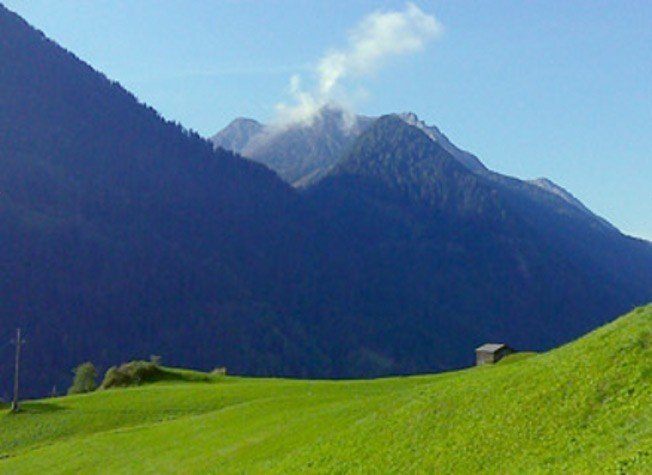
  • You're facing an uphill climb of 220 vertical meters on this hike. The hike takes you to an elevation of 1,416 m.
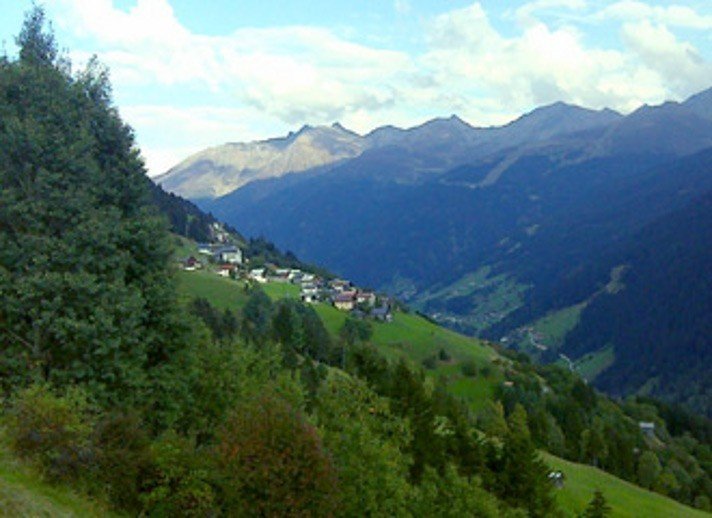
  • The hike is one of the family friendly trails in the region.
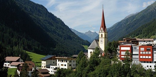
  • Hiking boots are not required, but the hike might be more enjoyable with sturdy footwear (especially in wet conditions). If you get hungry along the way, there are places to rest and get food. Nevertheless it’s recommended to also have enough water and food in your backpack when hiking or biking.

Contact

Tourismusverband Paznaun-Ischgl
Dorfstraße
6561
Ischgl
Phone+43 (0)50990
Fax+ 43 (0)50990 199
Travel Deals & Tips
Advertisement

Comments

Rate the Hike
No posts available yet:
  • Nobody has posted on the wall of the Hike "Kappler mountain - Perpat - Althof - Untermuehl" yet
  • Be the first to comment!
Login with Google+
  • Share your personal insider tip and create new entries
  • Explore fantastic outdoor destinations when and where you want
  • Find your dream destination or discover the world on the interactive map