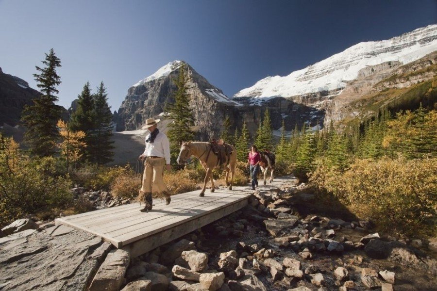
Hike Plain of Six Glaciers Lake Louise - Alberta in the Banff National Park: Position on map

Hike Plain of Six Glaciers Lake Louise - Alberta

Plain of Six Glaciers Lake Louise - Alberta

Elevation

Min: 1,735 m
Max: 2,298 m
Uphill: 1,204 m
Downhill: 1,362 m
  • Upload GPS data
About the author
last update on 12 Sep 2016
Rate the Hike
2
(5)
Travel Deals & Tips
Advertisement
Advertisement
Advertisement
Facts
Difficulty
Moderate
Distance: 18 km
Duration:7 h
Loop trail
Min: 1,735 m
Max: 2,298 m
Uphill: 1,204 m
Downhill: 1,362 m

Trail characteristics

Forest track
Hiking trail

Interesting facts

Read more
  • With an overall length of 18 km the hike is among the 10 longest hikes in Canada available on TouriSpo.
  • Plain of Six Glaciers Lake Louise - Alberta is among the 5 best rated Hikes in Canada.
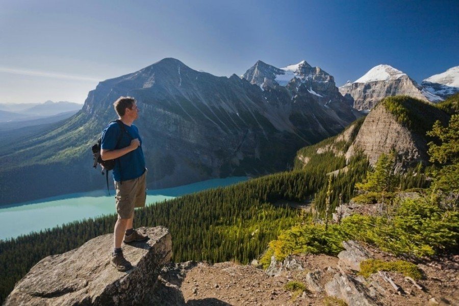
  • Elevated between 1,735 m and 2,298 m, the hike is among the 3 highest elevated hikes in Canada. You're facing an uphill climb of 1204 vertical meters on this hike. This makes the hike one of the 5 hikes with the most ascent in Canada.
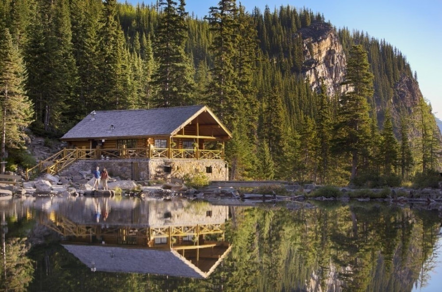
  • You shouldn’t forget to bring your hiking boots. There are some sections on the trail where sturdy footwear is required. There are places to buy beverages and food along the track. However it’s always recommended to bring enough water and food along with you.

Contact

Hotel Fairmont Chateau Lake Louise
Lake Louise Drive 111
T0L 1E0
Lake Louise, Alberta
Travel Deals & Tips
Advertisement

Comments

Rate the Hike
No posts available yet:
  • Nobody has posted on the wall of the Hike "Plain of Six Glaciers Lake Louise - Alberta" yet
  • Be the first to comment!
Login with Google+
  • Share your personal insider tip and create new entries
  • Explore fantastic outdoor destinations when and where you want
  • Find your dream destination or discover the world on the interactive map