Around Me
Search
List
Map
Combined
+
+
Guide
Europe
Germany
Austria
Italy
Switzerland
France
Spain
Greece
Great Britain and Northern Ireland
Czech Republic
Liechtenstein
Iceland
Romania
Belgium
Hungary
Portugal
Slovakia
Ireland
Netherlands
Denmark
Norway
Finland
Malta
Sweden
Slovenia
Lithuania
Serbia
Ukraine
Poland
North America
USA
Canada
Costa Rica
Oceania
New Zealand
Australia
Africa
Egypt
South Africa
Asia
Japan
China
United Arab Emirates
Turkey
India
Azerbaijan
Georgia
Iran
Russia
South America
Brazil
Hiking
Europe
Austria
Germany
Italy
Switzerland
Liechtenstein
France
Iceland
Romania
Belgium
Ireland
Norway
Great Britain and Northern Ireland
Denmark
Sweden
Spain
Portugal
North America
USA
Canada
Oceania
New Zealand
Australia
Biking
Europe
Austria
Germany
Switzerland
Italy
Romania
Spain
Liechtenstein
Great Britain and Northern Ireland
Lithuania
Finland
France
Iceland
Ireland
North America
Canada
USA
Swimming
Europe
Austria
Germany
Switzerland
Italy
Romania
Iceland
Hungary
Spain
Belgium
Slovenia
Malta
Ireland
Netherlands
Great Britain and Northern Ireland
North America
Canada
USA
Attractions
Europe
Germany
Austria
Italy
France
Switzerland
Spain
Greece
Czech Republic
Portugal
Slovakia
Great Britain and Northern Ireland
Hungary
Belgium
Netherlands
Iceland
Ireland
Denmark
Finland
Malta
Liechtenstein
Norway
Romania
Sweden
Serbia
Slovenia
Ukraine
Poland
North America
USA
Canada
Costa Rica
Oceania
New Zealand
Australia
Africa
Egypt
South Africa
Asia
Japan
United Arab Emirates
China
Iran
Georgia
India
Azerbaijan
Turkey
Russia
South America
Brazil
Magazine
News
Award
Active
Culture
Tips
Specials
On Tour
Inside
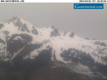
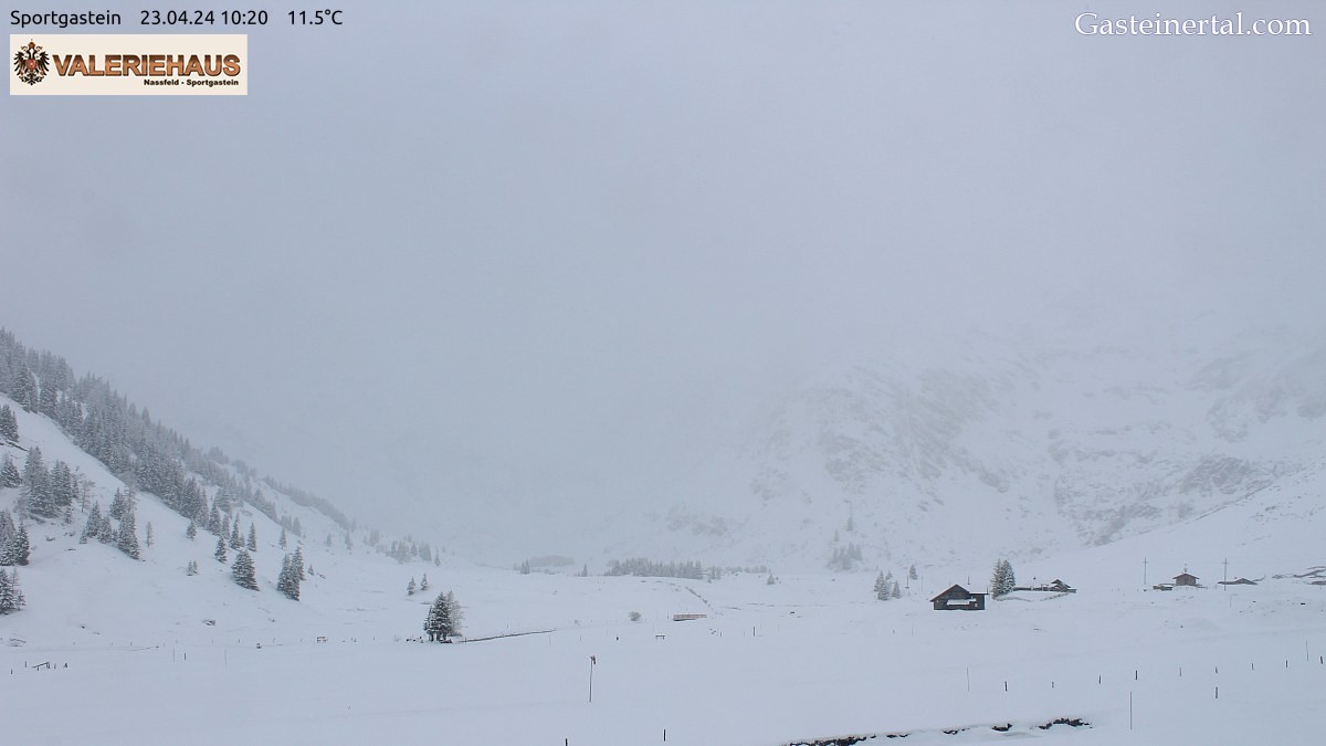
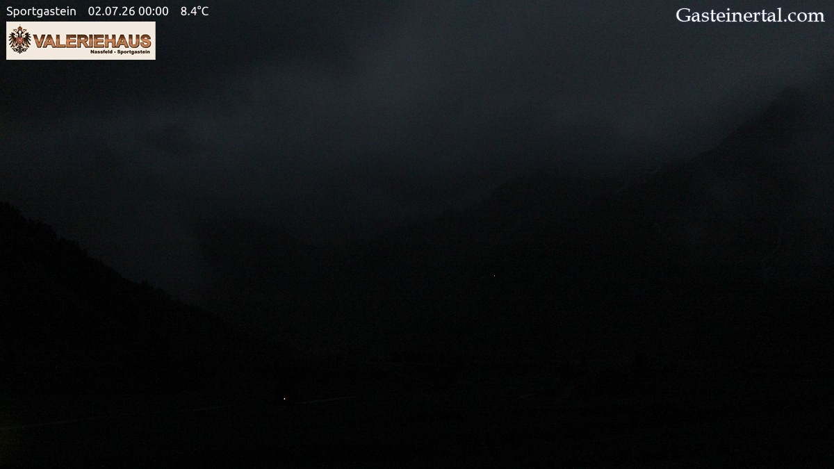
Webcam Alpine Restaurant Valeriehaus, 1,586 m
Hike
Weather For Hikers
Webcams
Wall
Photos
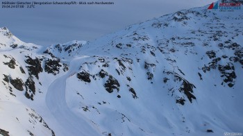
Stubnerkogel & Tischkogel summit
Hike
Photos
Weather For Hikers
Webcams
Hikes
Europe
Austria
Tyrol
Salzburg
Salzburg's world of sport
Grossarltal
Gasteinertal
Zell am See - Kaprun
Saalbach-Hinterglemm
Lungau
Hochkönig
Nationalpark Hohe Tauern
Obertauern
Saalfelden-Leogang
Saalachtal
Vorarlberg
Styria
Carinthia
Upper Austria
Lower Austria
Vienna
Burgenland
Germany
Italy
Switzerland
Liechtenstein
France
Iceland
Denmark
Great Britain and Northern Ireland
All countries in Europe
Romania
Belgium
Norway
Ireland
Sweden
Portugal
Spain
North America
Canada
USA
Oceania
New Zealand
Australia
Magazine
News
Award
Active
Culture
Tips
All magazine categories
Specials
On Tour
Inside
Misc.
The Perfect Match
Travel Guide
Map
Sweepstakes
Surveys
10:36 AM
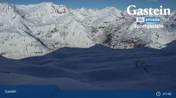
Enjoy the view from the restaurant Valeriehaus in Sportgastein.
Webcam broken? Description wrong?
Please, share your knowledge with our staff. Tell us what is wrong with this webcam.
E-Mail
Message
Send
Elevation:
5203.4 ft
Today's webcam images (Local Time: 11:06 AM)
11:00 PM
1:00 AM
3:00 AM
5:00 AM
6:00 AM
Latest
Webcam archive
Advertisement
Travel Deals & Tips
Advertisement
Webcams nearby
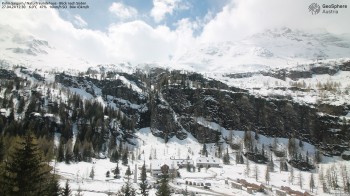
Bad Gastein - Kreuzkogel
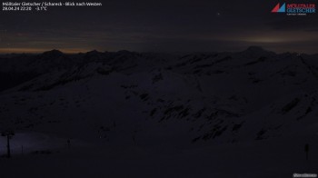
View of Schareck
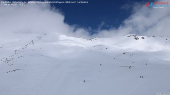
View of top station Klühspies
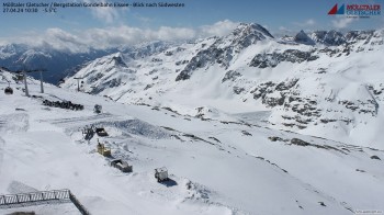
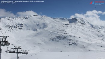
Mölltal glacier: view of top station gondola lift "Eissee"
Bad Gastein Stubnerkogel
Mountain station Schwarzkopflift
Kolm-Saigurn (Rauris valley)
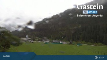
Gasteinertal - Ski Centre Angertal
Bad Gastein - Snowpark Stubnerkogel
Mölltal glacier, mountain station Altecklift
Mountain Restaurant Weitmoseralm
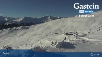
View from Schlossalm Mountain
Sonnblick Observatory
Nearby
Thermal bath Felsentherme Bad Gastein
0.6
km
Bad Gastein - Graukogel summit
1.1
km
Stubnerkogel Suspension Bridge near Bad Gastein
2.1
km
Show all
Bad Gastein - Gamskarkogel Mountain
2.8
km
Rock Trail Stubnerkogel Bad Gastein
3
km
Stone Pine Hike at Graukogel
3.1
km
Circular Hiking Trail from Angertal to Gadaunerer Hochalmen
3.9
km
Alpentherme Gastein
6.3
km
Gasteiner Höhenweg
6.4
km
Hiking Path to Reitalm - Huettschlag
9.8
km
Alpe Adria
77.9
km
Advertisement
Login

 11:00 PM
 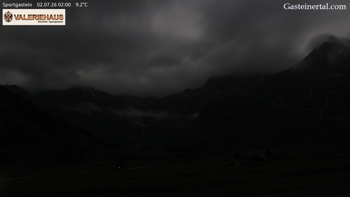 1:00 AM
 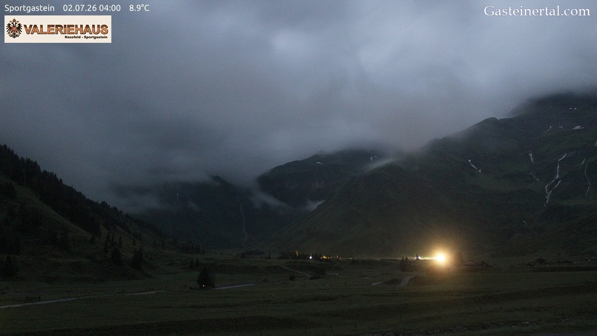 3:00 AM
 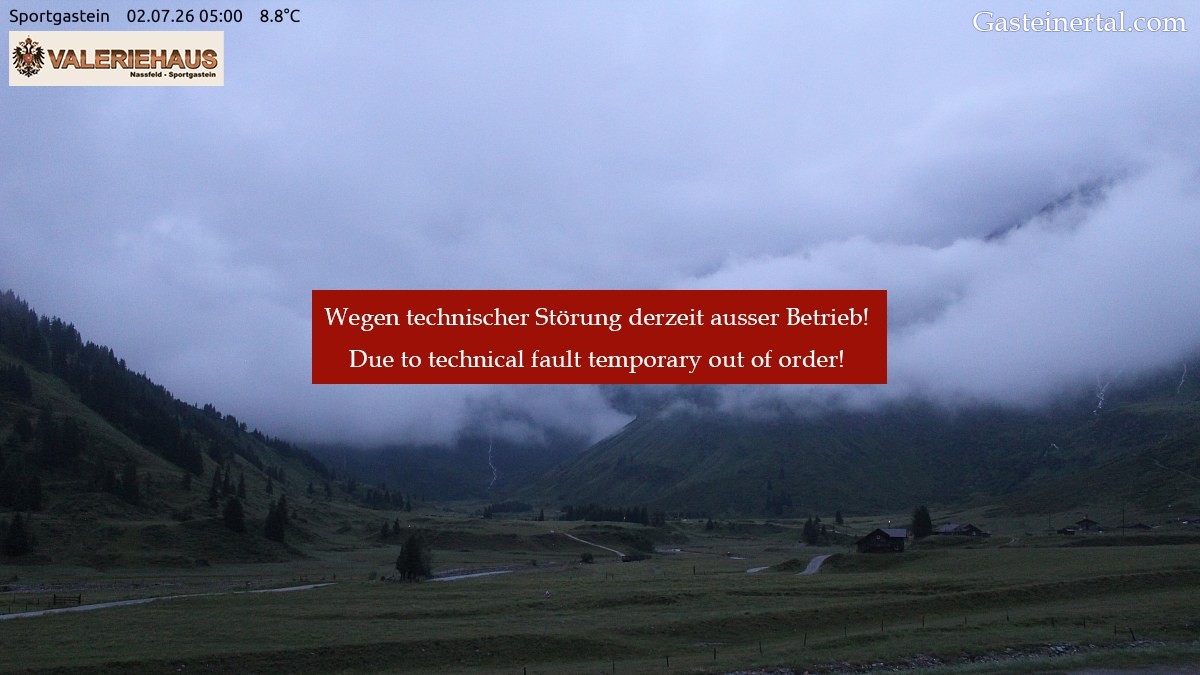 5:00 AM
 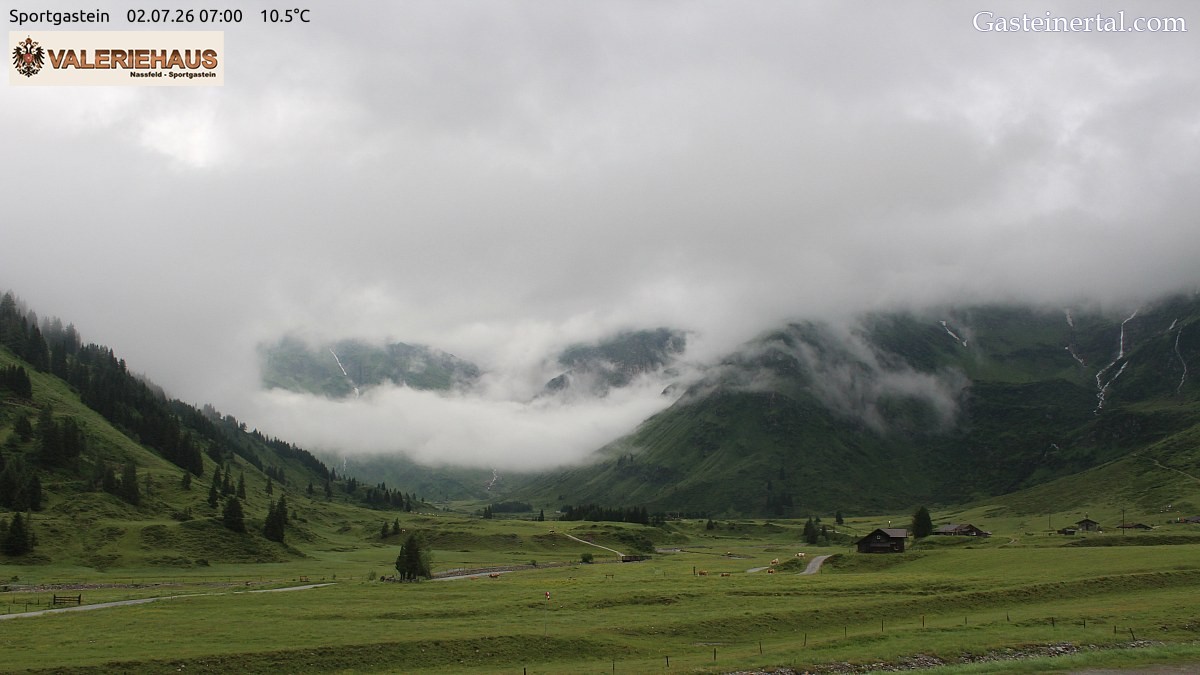 6:00 AM
 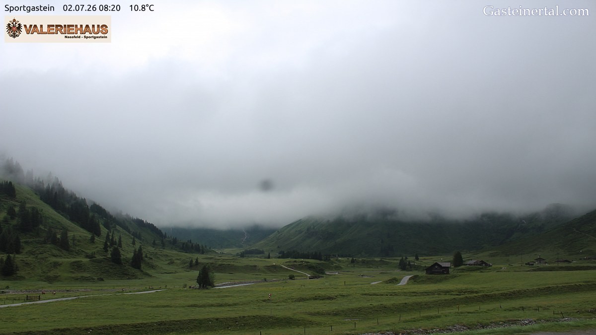 Latest