Hike Circular Hiking Trail from Angertal to Gadaunerer Hochalmen in the Gasteinertal: Position on map

Hike Circular Hiking Trail from Angertal to Gadaunerer Hochalmen

Circular Hiking Trail from Angertal to...

Elevation

Min: 1,167 m
Max: 1,849 m
Uphill: 682 m
Downhill: 865 m
  • Upload GPS data
Rate the Hike
0
(4)
Travel Deals & Tips
Advertisement
Advertisement
Advertisement
Facts
Difficulty
Advanced
Distance: 10.43 km
Duration:3 h 30 min
Loop trail
Min: 1,167 m
Max: 1,849 m
Uphill: 682 m
Downhill: 865 m

Trail characteristics

Asphalt
Dirt road
Forest track
Hiking trail

Interesting facts

Read more
  • You're traveling a distance of 10 km on this strenuous trail. The average length of all hikes in Salzburg is 15 km.
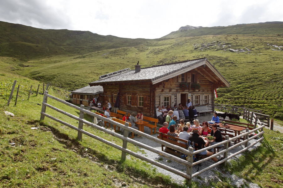
  • Circular Hiking Trail from Angertal to Gadaunerer Hochalmen is the the best rated hike in Salzburg.
  • You're facing an uphill climb of 682 vertical meters on this hike. The high point of the hike is located at an elevation of 1,849 m.
  • In case of good weather conditions, the hike can also be done without bringing your hiking boots.

Contact

Gasteinertal Tourismus GmbH
Tauernplatz 1
A-5630
Bad Hofgastein
E-Mail
%69%6e%66%6f%40%67%61%73%74%65%69%6e%2e%63%6f%6d
Phone+43 (0) 6432 3393 0
Fax+43 (0) 6432 3393 120
Travel Deals & Tips
Advertisement

Comments

Rate the Hike
No posts available yet:
  • Nobody has posted on the wall of the Hike "Circular Hiking Trail from Angertal to Gadaunerer Hochalmen" yet
  • Be the first to comment!
Login with Google+
  • Share your personal insider tip and create new entries
  • Explore fantastic outdoor destinations when and where you want
  • Find your dream destination or discover the world on the interactive map