Hike Via Alpina - Hochkönig region at the Hochkönig: Position on map

Hike Via Alpina - Hochkönig region

Via Alpina - Hochkönig region

Elevation

Min: 593 m
Max: 1,596 m
Uphill: 2,284 m
Downhill: 2,074 m
  • Upload GPS data
Rate the Hike
0
(0)
Travel Deals & Tips
Advertisement
Advertisement
Advertisement
Facts
Difficulty
Easy
Distance: 34.29 km
Duration:8 h 30 min
Min: 593 m
Max: 1,596 m
Uphill: 2,284 m
Downhill: 2,074 m

Trail characteristics

Forest track
Hiking trail

Interesting facts

Read more
  • With an overall length of 34 km the hike is among the 3 longest hikes in Salzburg available on TouriSpo.
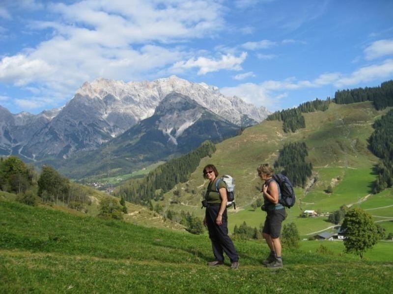
  • You're facing an uphill climb of 2284 vertical meters on this hike. This is quite much. You should be fit to do this track. This makes the hike one of the 3 hikes with the most ascent in Salzburg. The highest point of the track is 1,596 m above sea level.
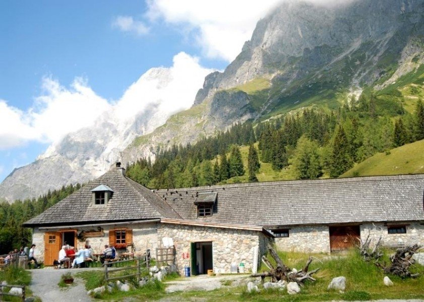
  • Make sure to bring sturdy footwear on this track. Hiking boots are highly recommended. There are places to buy beverages and food along the track. However it’s always recommended to bring enough water and food along with you.

Contact

Gainfeldweg 2
5500
Bischofshofen
Travel Deals & Tips
Advertisement

Comments

Rate the Hike
No posts available yet:
  • Nobody has posted on the wall of the Hike "Via Alpina - Hochkönig region" yet
  • Be the first to comment!
Login with Google+
  • Share your personal insider tip and create new entries
  • Explore fantastic outdoor destinations when and where you want
  • Find your dream destination or discover the world on the interactive map