


Description
New Zealand's Northernmost Point
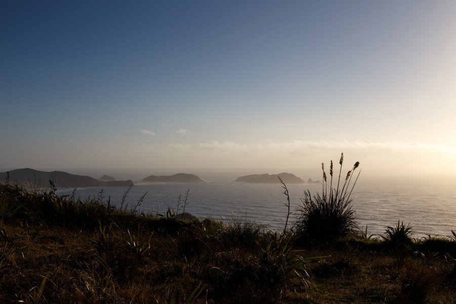
Right at the tip of the Aupouri Peninsula, Cape Reinga offers striking views. Described as the northernmost point of the country, the cape is in fact only the most northerly accessible point on the island. The actual northernmost point of New Zealand is the Surville Cliffs at North Cape, roughly 30 kilometres further east. These, however, can only be reached via unsealed roads, and the land belongs to the Māori.
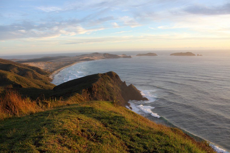
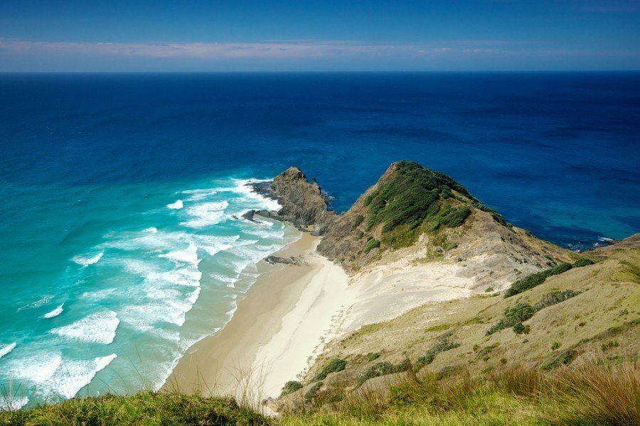
Roughly 170 metres below the viewing platform at the cape, the Pacific Ocean to the east and the Tasman Sea to the west collide, creating an impressive spectacle. Swirling currents and waves churn the water even on calm days. The meeting point is also clearly visible from the tidal currents, as the tides in the two oceans are slightly different. The strictly protected toheroa shellfish lives in the waters around the cape.
Te Rerenga Wairua — A Sacred Place of the Māori
Cape Reinga on the northwestern tip of the North Island holds special cultural and spiritual significance for the Māori. According to legend, this is where "Reinga" is found — the place of "crossing" or the "underworld". From the ancient pōhutukawa tree at the cape, the spirits of the deceased set off on their final journey to the homeland of their ancestors (Hawaiki / Three Kings Islands). Another name for the site is the Māori term "Te Rerenga Wairua", meaning roughly "the leaping place of the spirits/souls".
The Lighthouse at Cape Reinga
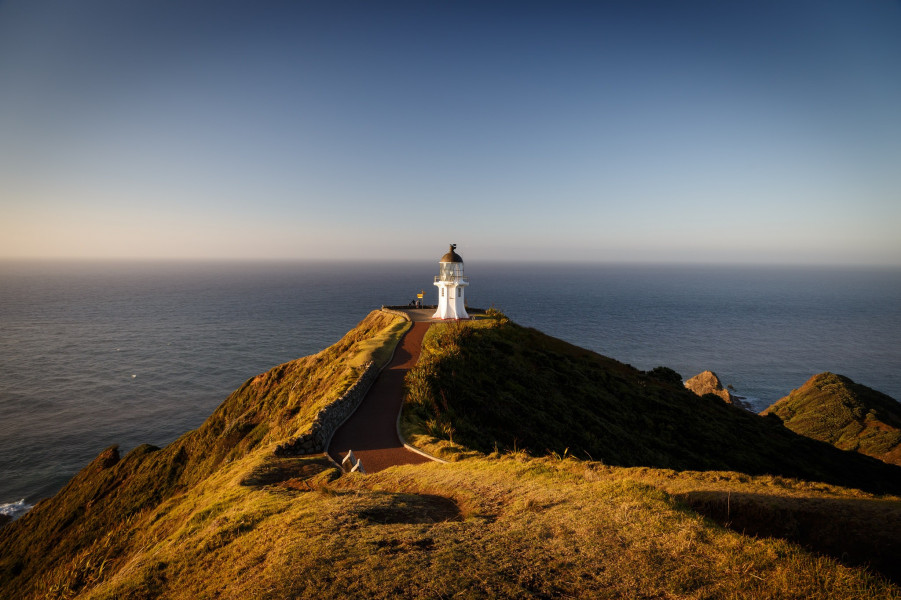
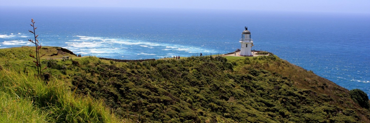
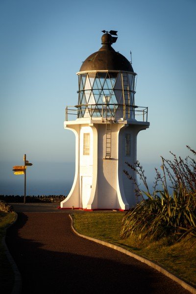
The Cape Reinga Lighthouse has stood at the cape since 1941. The ten-metre-high lighthouse replaced the old one, which had stood on the nearby Motuopao Island since 1879. In 1987, the last lighthouse keepers left the cape. Since then, the tower has been fully automated and remotely controlled from Wellington. In 2000, the old 1,000-watt lamp — which had a range of 48 kilometres and was powered by a diesel engine — was replaced by a small 50-watt lamp. This is powered by solar cells and a small battery and flashes every twelve seconds. Its light is visible up to 35 kilometres (19 nautical miles) away. From the lighthouse, magnificent panoramic views open up over the Pacific Ocean and the Tasman Sea.
Hiking at the Cape
Several walking trails start at the lighthouse, inviting you to explore the surroundings. From the cape, you can walk to Te Werahi Beach to the west or discover Sandy Bay to the east. Allow around 30 minutes for each route. Another trail leads to the popular Tapotupotu Bay, roughly a two-hour walk away. The 134-kilometre Cape Reinga Walkway, which also runs along Ninety Mile Beach, also starts at the cape. In recent years, the walkway has been landscaped and redesigned, making it particularly attractive. Numerous information boards in English and Māori have also been installed along the various routes.
Nearby
Anyone heading to Cape Reinga should also make a detour to the Te Paki sand dunes a little further south. Rising up to 50 metres high, these shifting dunes are the largest in the country. Ten kilometres southwest of the cape lies Cape Maria van Diemen, which also boasts impressive sand hills.
How to get there
By car
Cape Reinga is most easily reached via SH1, which runs through Auckland and Whangārei all the way to the cape. The nearest town of any size is Kaitaia, roughly 100 kilometres away. The last 20 kilometres to the cape lead over gravel tracks and through hilly terrain. At the end of the road, there is a car park. From there, it is just a short walk to the lighthouse at the cape. Those with a suitable vehicle can also arrive via Ninety Mile Beach.
By bus
Bus tours to Cape Reinga are also offered from Kaitaia or Ahipara. These usually travel via Ninety Mile Beach.