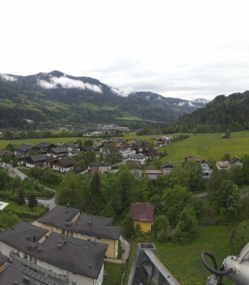
View of Bischofshofen near Salzburg. You can see the village and the famous Ski Jumping Hill.
18 minutes ago
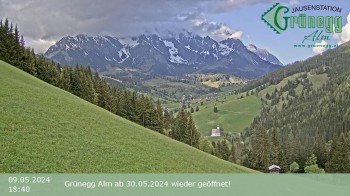
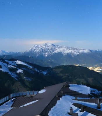
View from Grünegg Alm near Hike and Ski Resort Hochkönig.
4 hours ago
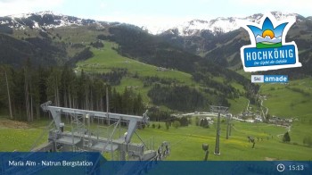
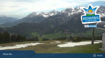
This webcam is located at the top station on Natrun mountain in Maria Alm, and overlooks the surrounding Alpine landscape.
1 hour ago
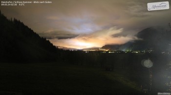
Enjoy the view from Schloss Kammer in Maishofen to the Kitzsteinhorn in the south.
14 minutes ago
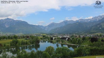
The webcam shows the lake Ritzensee in the austrian region Saalfelden Leogang.
14 minutes ago
Enjoy the view of Funtenseetauern mountain direction north. You view Berchtesgaden national park and lake Königssee.
14 minutes ago
This webcam shows the view from the village Dienten towards Hochkönig mountain
temporarily unavailable
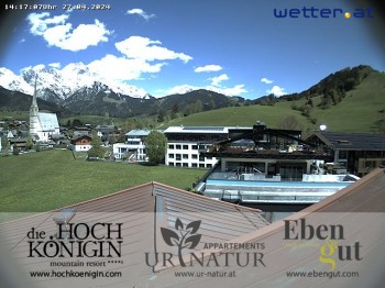
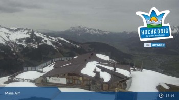
Webcam is located at the mountain resort Hochkönigin in Maria Alm.
1 minute ago
Have a look at the slope Bürglalm in Dienten at Hochkönig
temporarily unavailable
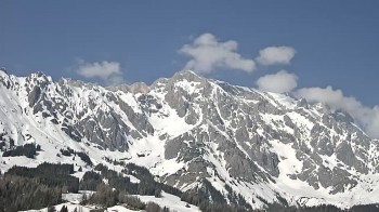
Enjoy the panoramic view of Hochkönig and the surrounding landscape.
13 minutes ago
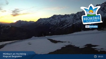
View from the top station of Kingscab over the surrounding mountain-scape of Mühlbach am Hochkönig.
55 minutes ago
Live pictures from the surroundings of the mountain village St. Johann im Pongau, Austria.
46 minutes ago
Located at mountain station Aberg, this webcam shows the view of the surrounding mountain landscape.
1 hour ago
Enjoy the panoramic view from the top station of Hochmaisalm, Gabühel mountain
1 hour ago
Enjoy the view of mountain hotel Arthurhaus on the surrounding mountain landscape
9 minutes ago
360 degree Panoramic view at the hotel Bergheimat in the small village Mühlbach.
5 minutes ago