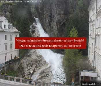
View of the waterfall in Bad Gastein, a village in the mountains near Salzburg.
17 minutes ago
Webcam located at Loosbühelalm near Grossarl.
temporarily unavailable
Panoramic view of the Grossarltal in Salzburg.
3 hours ago
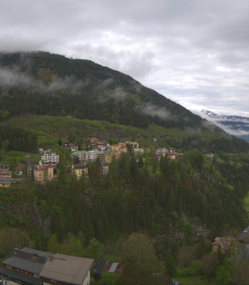
Enjoy the view from the Hotel Schillerhof in Bad Gastein in the Gastein Valley.
3 hours ago
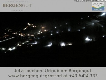
View from the Bergengut Hotel at Grossarl
33 minutes ago
View from the Harbachbahn mountain station
3 hours ago
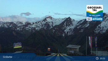
View from the top station on Kreuzkogel over the surrounding mountains.
3 hours ago